
| Distance / Altitude | Location | Report Date / Time | Live Weather | Wind | Gusts | Temp. | Visibility | Cloud |
|---|---|---|---|---|---|---|---|---|
| 1 km WSW / 48 m | ST Lawrence- Nfld (Canada) | 2026-03-16 22:30 local (2026/03/17 01:00 GMT) | - | wind obs. (14 kph from 220 degs) was rejected (- km/h at -) | — | - | - | |
| 59 km NW / 13 m | Sagona Island Airport (Newfoundland) | 2026-03-16 21:30 local (2026/03/17 00:00 GMT) | - | strong winds from the SE (39 km/h at 140) | — | 0.0 | ||
| 60 km NW / 60 m | Sagona Island- Nfld (Canada) | 2026-03-16 21:30 local (2026/03/17 00:00 GMT) | - | moderate winds from the SSW (22 km/h at 200) | — | - | - | |
| 74 km NE / 27 m | MarticotIsland-Nfld (Canada) | 2026-03-16 22:30 local (2026/03/17 01:00 GMT) | - | light winds from the SW (11 km/h at 220) | — | - | - no observation - | |
| 111 km NW / 1 m | Saint Albans (Canada) | 2026-03-16 21:30 local (2026/03/17 00:00 GMT) | - | wind obs. (7 kph from 290 degs) was rejected (- km/h at -) | — | - | - - - | |
| 111 km ENE / 216 m | Argentia Airport (Newfoundland) | 2026-03-16 21:30 local (2026/03/17 00:00 GMT) | - | moderate winds from the S (22 km/h at 190) | -1°C | 0.0 | ||
| 142 km S / 430 m | ST Pierre-France Airport (Newfoundland) | 2026-03-16 22:00 local (2026/03/17 00:30 GMT) | Dry and cloudy | strong winds from the SSE (43 km/h at 150) | 0°C | 10.0 | scattered overcast | |
| 159 km ENE / 133 m | Deer Park (Canada) | 2026-03-16 21:49 local (2026/03/17 00:19 GMT) | - | light winds from the SE (8 km/h at 140) | -2°C | - | - - 0 | |
| 174 km ENE / 32 m | Bay Roberts (Newfoundland) | 2026-03-16 21:54 local (2026/03/17 00:24 GMT) | - | calm (0 km/h at 274) | -2°C | - | - - 0 | |
| 177 km ENE / 52 m | The Battery wx (Canada) | 2026-03-16 20:31 local (2026/03/16 23:01 GMT) | - | calm (5 km/h at 215) | -1°C | - | - - 0 |
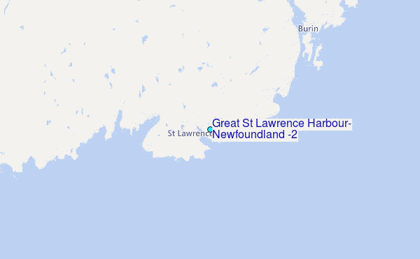
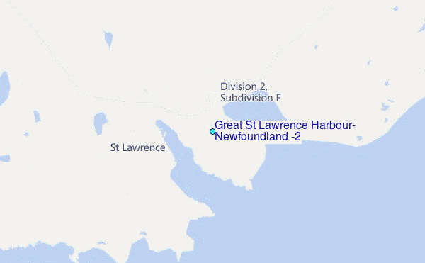
Choose Great St Lawrence Harbour, Newfoundland (2) Location Map Zoom:
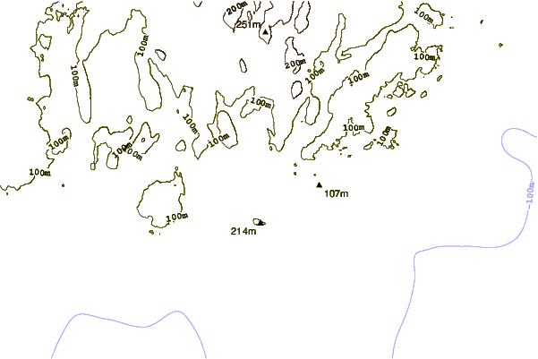
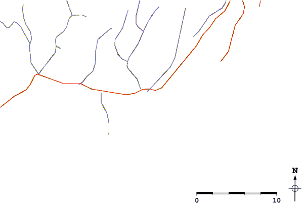
| Contours: | Roads & Rivers: | Select a
tide station / surf break / city |
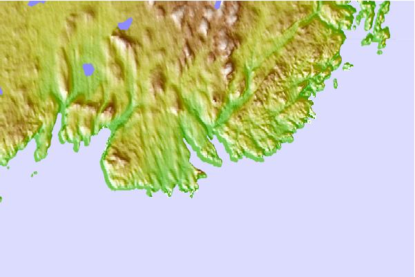
Use this relief map to navigate to tide stations, surf breaks and cities that are in the area of Great St Lawrence Harbour, Newfoundland (2).
Other Nearby Locations' tide tables and tide charts to Great St Lawrence Harbour, Newfoundland (2):
click location name for more details
 Surf breaks close to Great St Lawrence Harbour, Newfoundland (2):
|
||
|---|---|---|
| Closest surf break | Kennington Cove | 235 mi |
| Second closest surf break | Ingonish Beach | 239 mi |
| Third closest surf break | Michaud Point | 270 mi |
| Fourth closest surf break | Martinique | 406 mi |
| Fifth closest surf break | Lawrencetown Left Point | 415 mi |


 Nearest
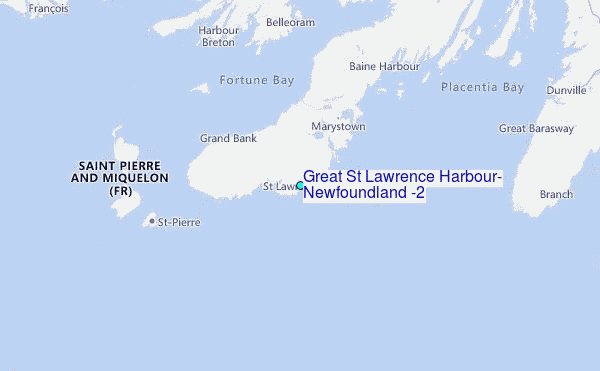