
| Distance / Altitude | Location | Report Date / Time | Live Weather | Wind | Gusts | Temp. | Visibility | Cloud |
|---|---|---|---|---|---|---|---|---|
| 64 km SSE / 43 m | BellaBella-BC (Canada) | 2026-05-25 09:00 local (2026/05/25 16:00 GMT) | no report | calm (4 km/h at 250) | 7°C | 4.8 km | - overcast - | |
| 65 km SSE / 43 m | Bella Bella Airport (British columbia) | 2026-05-25 09:00 local (2026/05/25 16:00 GMT) | Dry and partly cloudy | light winds from the SSE.(Wind varies from 120 to 180 degs) (6 km/h at 150) | — | 14 | few scattered broken | |
| 83 km WNW / - m | SHIP1360 (ocean) | 2026-05-25 10:00 local (2026/05/25 17:00 GMT) | Intermittent moderate rain | fresh winds from the N (31 km/h at 360) | 8°C | 4 km | overcast | |
| 87 km SE / 26 m | Cathedral Point (Aut)- BC (Canada) | 2026-05-25 10:00 local (2026/05/25 17:00 GMT) | no report | light winds from the WSW (14 km/h at 240) | — | - | - | |
| 89 km SE / 214 m | Cathedral Point Airport (British Columbia) | 2026-05-25 09:00 local (2026/05/25 16:00 GMT) | - | moderate winds from the NE (28 km/h at 40) | 11°C | 0.0 | - - - | |
| 100 km WNW / - m | SHIP629 (ocean) | 2026-05-25 09:00 local (2026/05/25 16:00 GMT) | Intermittent moderate rain | light winds from the S (9 km/h at 180) | 8°C | - | no observation | |
| 100 km WNW / 15 m | SHIP6316 (Marine) | 2026-05-25 09:00 local (2026/05/25 16:00 GMT) | light winds from the S (9.360000000000001 km/h at 180) | — | - km | |||
| 100 km WNW / 15 m | SHIP3772 (Marine) | 2026-05-25 09:00 local (2026/05/25 16:00 GMT) | light winds from the S (9.360000000000001 km/h at 180) | — | - km |
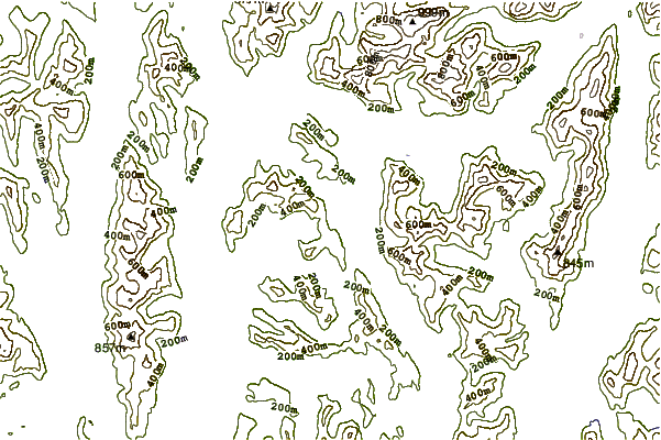
| Contours: | Roads & Rivers: | Select a
tide station / surf break / city |
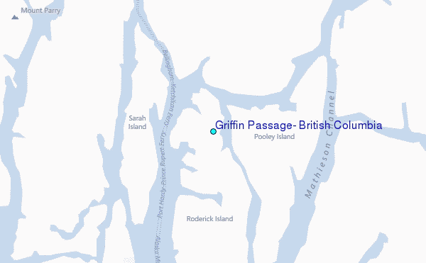
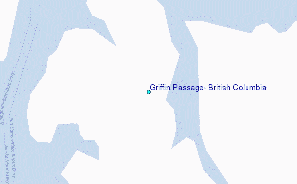
Use this relief map to navigate to tide stations, surf breaks and cities that are in the area of Griffin Passage, British Columbia.
Other Nearby Locations' tide tables and tide charts to Griffin Passage, British Columbia:
click location name for more details
 Surf breaks close to Griffin Passage, British Columbia:
|
||
|---|---|---|
| Closest surf break | Tow Hill Beach | 168 mi |
| Second closest surf break | Lepus Beach (Haida-Gwaii) | 216 mi |
| Third closest surf break | Nootka Island (Calvin Bay) | 224 mi |
| Fourth closest surf break | Tofino (North Chestermans Beach) | 273 mi |
| Fifth closest surf break | South Chesterman Beach | 274 mi |


 Nearest
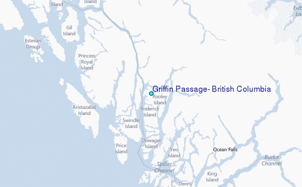