
| Distance / Altitude | Location | Report Date / Time | Live Weather | Wind | Gusts | Temp. | Visibility | Cloud |
|---|---|---|---|---|---|---|---|---|
| 2 km WNW / 210 m | Hall Beach Airport (N.w. Territories) | 2026-03-22 20:30 local (2026/03/23 00:30 GMT) | Dry and partly cloudy | light winds from the ENE (19 km/h at 70) | -28°C | 14 | scattered | |
| 3 km NW / 9 m | Hall Beach (Canada) | 2026-03-22 21:00 local (2026/03/23 01:00 GMT) | - | moderate winds from the WNW (22 km/h at 300) | — | - | - - - | |
| 348 km WSW / 17 m | Kugaaruk Climate (Canada) | 2026-03-22 20:00 local (2026/03/23 00:00 GMT) | - | light winds from the N (7 km/h at 10) | — | - | - - - | |
| 349 km WSW / 325 m | Pelly Bay Airport (N.w. Territories) | 2026-03-22 19:00 local (2026/03/22 23:00 GMT) | Ice crystals | light winds from the E.(Wind varies from 030 to 110 degs) (6 km/h at 90) | -33°C | 24 | few | |
| 440 km WNW / 3 m | SHIP1019 (Marine) | 2026-03-22 19:00 local (2026/03/22 23:00 GMT) | - (- km/h at -) | — | - | |||
| 442 km WNW / 15 m | SHIP4409 (Marine) | 2026-03-22 19:00 local (2026/03/22 23:00 GMT) | - (- km/h at -) | — | - km | |||
| 442 km WNW / 15 m | SHIP3911 (Marine) | 2026-03-22 19:00 local (2026/03/22 23:00 GMT) | - (- km/h at -) | — | - km | |||
| 442 km WNW / 3 m | SHIP2567 (Marine) | 2026-03-22 19:00 local (2026/03/22 23:00 GMT) | - (- km/h at -) | — | - | |||
| 442 km WNW / 15 m | SHIP3459 (Marine) | 2026-03-22 19:00 local (2026/03/22 23:00 GMT) | - (- km/h at -) | — | - km | |||
| 442 km WNW / 15 m | SHIP8332 (Marine) | 2026-03-22 19:00 local (2026/03/22 23:00 GMT) | - (- km/h at -) | — | - km |
| Contours: | Roads & Rivers: | Select a
tide station / surf break / city |
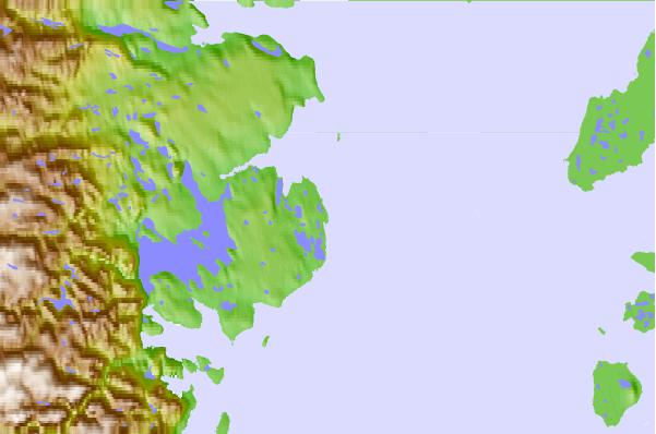
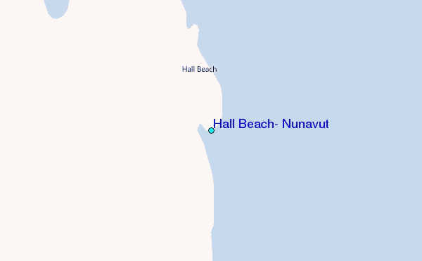
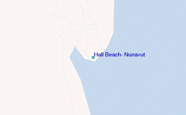
Use this relief map to navigate to tide stations, surf breaks and cities that are in the area of Hall Beach, Nunavut.
Other Nearby Locations' tide tables and tide charts to Hall Beach, Nunavut:
click location name for more details
 Surf breaks close to Hall Beach, Nunavut:
|
||
|---|---|---|
| Closest surf break | Marathon | 1396 mi |
| Second closest surf break | Keweenaw Peninsula | 1492 mi |
| Third closest surf break | Alona Bay | 1497 mi |
| Fourth closest surf break | Apostle Islands | 1533 mi |
| Fifth closest surf break | Au Sable Point | 1535 mi |


 Nearest
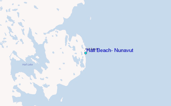