
| Distance / Altitude | Location | Report Date / Time | Live Weather | Wind | Gusts | Temp. | Visibility | Cloud |
|---|---|---|---|---|---|---|---|---|
| 178 km W / 10 m | St. Lunaire - Griquet (Canada) | 2026-07-25 20:55 local (2026/07/25 23:25 GMT) | dry | light winds from the WSW (18 km/h at 243) | 19°C | - | - - 0 | |
| 199 km SSW / 92 m | Twillingate (Aut)- Nfld (Canada) | 2026-07-25 21:30 local (2026/07/26 00:00 GMT) | no report | fresh winds from the SW (29 km/h at 220) | 21°C | - | - - - | |
| 200 km SSW / 207 m | Twillingate Airport (Newfoundland) | 2026-07-25 20:30 local (2026/07/25 23:00 GMT) | - | light winds from the E (9 km/h at 100) | 21°C | 0.0 | ||
| 216 km WSW / 196 m | Saint Anthony Airport (Newfoundland) | 2026-07-25 20:30 local (2026/07/25 23:00 GMT) | Clear | moderate winds from the WSW (24 km/h at 250) | 20°C | 14 | ||
| 216 km WSW / 33 m | St. Anthony- Nfld (Canada) | 2026-07-25 21:30 local (2026/07/26 00:00 GMT) | no report | strong winds from the SW (40 km/h at 230) | 19°C | - | - - - | |
| 221 km WSW / 30 m | Englee (Aut)- Nfld (Canada) | 2026-07-25 20:30 local (2026/07/25 23:00 GMT) | no report | wind obs. (47 kph from 280 degs) was rejected (- km/h at -) | 22°C | - | - - - | |
| 222 km WSW / 216 m | Englee Airport (Newfoundland) | 2026-07-25 20:30 local (2026/07/25 23:00 GMT) | - | moderate winds from the W (22 km/h at 280) | 20°C | 0.0 | ||
| 222 km S / 19 m | Pools Island- Nfld (Canada) | 2026-07-25 20:30 local (2026/07/25 23:00 GMT) | no report | light winds from the S (18 km/h at 180) | 21°C | - | - - - | |
| 228 km SW / 194 m | La Scie, Newfoundland (Canada) | 2026-07-25 20:30 local (2026/07/25 23:00 GMT) | no report | light winds from the SW (14 km/h at 230) | 23°C | - | - - - | |
| 238 km WNW / 12 m | Mary s Harbour- Nfld (Canada) | 2026-07-25 20:30 local (2026/07/25 23:00 GMT) | no report | moderate winds from the WSW (22 km/h at 250) | 23°C | - | - |
| Contours: | Roads & Rivers: | Select a
tide station / surf break / city |


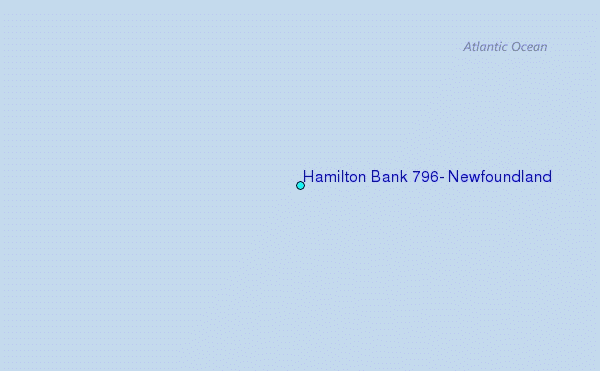
Use this relief map to navigate to tide stations, surf breaks and cities that are in the area of Hamilton Bank 796, Newfoundland.
Other Nearby Locations' tide tables and tide charts to Hamilton Bank 796, Newfoundland:
click location name for more details
 Surf breaks close to Hamilton Bank 796, Newfoundland:
|
||
|---|---|---|
| Closest surf break | Ingonish Beach | 454 mi |
| Second closest surf break | Kennington Cove | 482 mi |
| Third closest surf break | Michaud Point | 518 mi |
| Fourth closest surf break | Martinique | 644 mi |
| Fifth closest surf break | Lawrencetown Left Point | 652 mi |


 Nearest