
| Distance / Altitude | Location | Report Date / Time | Live Weather | Wind | Gusts | Temp. | Visibility | Cloud |
|---|---|---|---|---|---|---|---|---|
| 56 km W / 15 m | hy2c276E18N (Marine) | 2026-01-23 17:17 local (2026/01/23 23:17 GMT) | light winds from the NE (17 km/h at 42) | — | - km | |||
| 56 km ENE / 15 m | hy2c277E18N (Marine) | 2026-01-23 17:17 local (2026/01/23 23:17 GMT) | moderate winds from the NNE (20 km/h at 30) | — | - km | |||
| 78 km S / 15 m | hy2c276E17N (Marine) | 2026-01-23 17:17 local (2026/01/23 23:17 GMT) | moderate winds from the NE (20 km/h at 42) | — | - km | |||
| 114 km SSW / 15 m | hy2c275E17N (Marine) | 2026-01-23 17:17 local (2026/01/23 23:17 GMT) | light winds from the ENE (19 km/h at 58) | — | - km | |||
| 118 km SE / 15 m | hy2c277E17N (Marine) | 2026-01-23 17:17 local (2026/01/23 23:17 GMT) | moderate winds from the NNE (21 km/h at 32) | — | - km | |||
| 120 km S / 15 m | hy2c276E16N (Marine) | 2026-01-23 17:17 local (2026/01/23 23:17 GMT) | moderate winds from the NE (21 km/h at 48) | — | - km | |||
| 133 km NW / 15 m | hy2c276E19N (Marine) | 2026-01-23 17:16 local (2026/01/23 23:16 GMT) | light winds from the NE (17 km/h at 50) | — | - km | |||
| 133 km S / 15 m | hy2c275E16N (Marine) | 2026-01-23 17:17 local (2026/01/23 23:17 GMT) | light winds from the NE (19 km/h at 52) | — | - km | |||
| 163 km WSW / 15 m | hy2c275E18N (Marine) | 2026-01-23 17:16 local (2026/01/23 23:16 GMT) | light winds from the NE (17 km/h at 55) | — | - km | |||
| 182 km NE / 15 m | hy2c277E19N (Marine) | 2026-01-23 17:16 local (2026/01/23 23:16 GMT) | light winds from the NNE (18 km/h at 30) | — | - km |
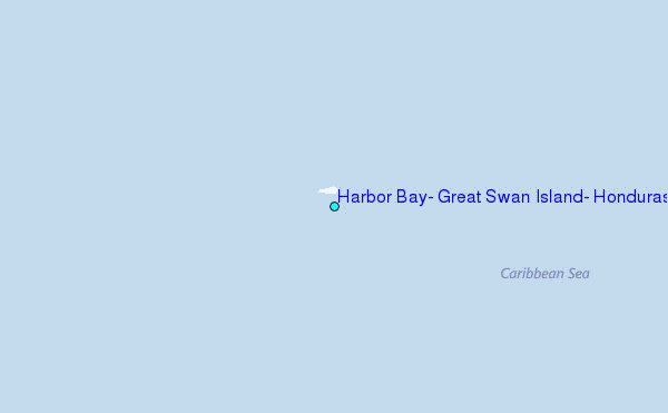
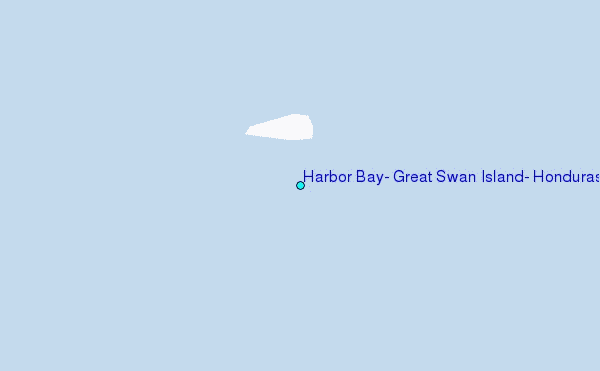
Choose Harbor Bay, Great Swan Island, Honduras Location Map Zoom:
| Contours: | Roads & Rivers: | Select a
tide station / surf break / city |
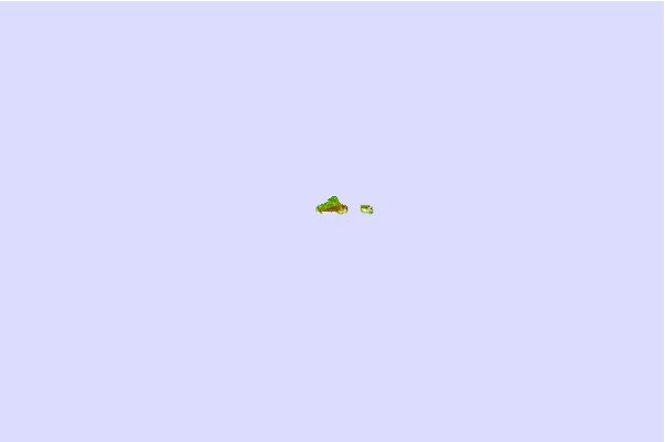
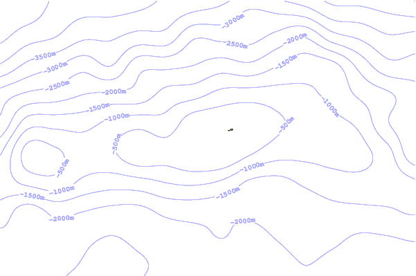
Use this relief map to navigate to tide stations, surf breaks and cities that are in the area of Harbor Bay, Great Swan Island, Honduras.
Other Nearby Locations' tide tables and tide charts to Harbor Bay, Great Swan Island, Honduras:
click location name for more details
 Surf breaks close to Harbor Bay, Great Swan Island, Honduras:
|
||
|---|---|---|
| Closest surf break | Palma Real | 203 mi |
| Second closest surf break | South Sound | 211 mi |
| Third closest surf break | 7 Mile Beach | 214 mi |
| Fourth closest surf break | East End | 227 mi |
| Fifth closest surf break | Rocky Point | 261 mi |


 Nearest