
| Distance / Altitude | Location | Report Date / Time | Live Weather | Wind | Gusts | Temp. | Visibility | Cloud |
|---|---|---|---|---|---|---|---|---|
| 10 km SW / 198 m | Chevery Airport (Quebec) | 2026-04-01 01:00 local (2026/04/01 04:00 GMT) | - | light winds from the N (7 km/h at 360) | -17°C | 0.0 | ||
| 12 km SW / 8 m | Chevery-Que (Canada) | 2026-04-01 02:00 local (2026/04/01 05:00 GMT) | - | wind obs. (14 kph from 200 degs) was rejected (- km/h at -) | — | - | - no observation - | |
| 56 km SSW / 7 m | CapeWhittle-Que (Canada) | 2026-04-01 01:00 local (2026/04/01 04:00 GMT) | - | fresh winds from the W (36 km/h at 270) | — | - | - no observation - | |
| 155 km SE / 216 m | Rocky Harbour Airport (Newfoundland) | 2026-04-01 01:00 local (2026/04/01 04:00 GMT) | - | light winds from the E (7 km/h at 90) | -8°C | 0.0 | ||
| 155 km SE / 216 m | Rocky Harbour Airport (Newfoundland) | 2026-04-01 01:00 local (2026/04/01 04:00 GMT) | - | light winds from the E (7 km/h at 90) | -8°C | 0.0 | ||
| 155 km SE / 68 m | Rocky Harbour- Nfld (Canada) | 2026-04-01 00:00 local (2026/04/01 03:00 GMT) | - | light winds from the WSW (7 km/h at 250) | — | - | - | |
| 168 km WSW / 12 m | Natashquan-Que (Canada) | 2026-04-01 01:00 local (2026/04/01 04:00 GMT) | - | moderate winds from the W (22 km/h at 270) | — | 28 km | - no observation - | |
| 170 km SW / 218 m | Natashquan Airport (Quebec) | 2026-04-01 01:09 local (2026/04/01 04:09 GMT) | Dry and cloudy | light winds from the ENE (19 km/h at 70) | -9°C | 14 | overcast | |
| 178 km ENE / 6 m | FerollePoint(Aut)- Nfld (Canada) | 2026-04-01 02:00 local (2026/04/01 05:00 GMT) | - | wind obs. (50 kph from 200 degs) was rejected (- km/h at -) | — | - | - no observation - | |
| 178 km ENE / 216 m | Ferolle Point Airport (Newfoundland) | 2026-04-01 01:00 local (2026/04/01 04:00 GMT) | - | light winds from the NNW (17 km/h at 340) | -9°C | 0.0 |
| Contours: | Roads & Rivers: | Select a
tide station / surf break / city |
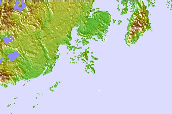
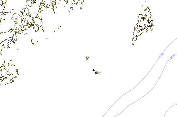
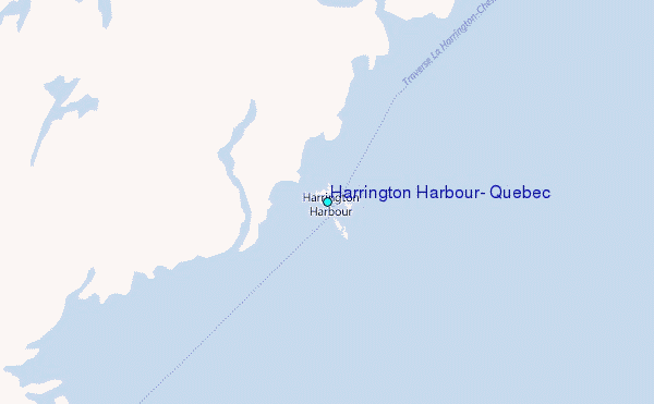
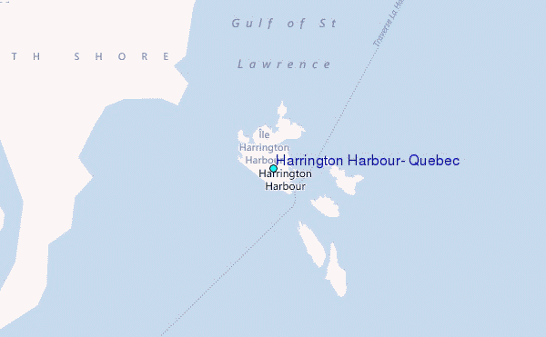
Use this relief map to navigate to tide stations, surf breaks and cities that are in the area of Harrington Harbour, Quebec.
Other Nearby Locations' tide tables and tide charts to Harrington Harbour, Quebec:
click location name for more details
 Surf breaks close to Harrington Harbour, Quebec:
|
||
|---|---|---|
| Closest surf break | Ingonish Beach | 270 mi |
| Second closest surf break | Kennington Cove | 321 mi |
| Third closest surf break | Michaud Point | 346 mi |
| Fourth closest surf break | Martinique | 437 mi |
| Fifth closest surf break | Lawrencetown Left Point | 443 mi |


 Nearest
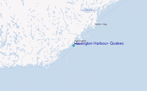