
| Distance / Altitude | Location | Report Date / Time | Live Weather | Wind | Gusts | Temp. | Visibility | Cloud |
|---|---|---|---|---|---|---|---|---|
| 44 km NE / 15 m | ASCATB154E11S (Marine) | 2025-12-26 08:10 local (2025/12/25 22:10 GMT) | moderate winds from the NW (20 km/h at 319) | — | - km | |||
| 61 km NNE / 15 m | ASCATB153E11S (Marine) | 2025-12-26 08:09 local (2025/12/25 22:09 GMT) | light winds from the NNW (19 km/h at 331) | — | - km | |||
| 86 km N / 15 m | ASCATB153E10S (Marine) | 2025-12-26 08:09 local (2025/12/25 22:09 GMT) | moderate winds from the NNE (22 km/h at 12) | — | - km | |||
| 97 km NNE / 15 m | ASCATB154E10S (Marine) | 2025-12-26 08:09 local (2025/12/25 22:09 GMT) | light winds from the N (16 km/h at 357) | — | - km | |||
| 141 km SSE / 15 m | ASCATB154E12S (Marine) | 2025-12-26 08:10 local (2025/12/25 22:10 GMT) | moderate winds from the N (27 km/h at 5) | — | - km | |||
| 145 km S / 15 m | ASCATB153E12S (Marine) | 2025-12-26 08:10 local (2025/12/25 22:10 GMT) | moderate winds from the NNE (28 km/h at 15) | — | - km | |||
| 164 km SSW / 15 m | ASCATB152E12S (Marine) | 2025-12-26 08:10 local (2025/12/25 22:10 GMT) | fresh winds from the NNE (31 km/h at 17) | — | - km | |||
| 168 km E / 15 m | ASCATB155E11S (Marine) | 2025-12-26 08:10 local (2025/12/25 22:10 GMT) | light winds from the NNW (14 km/h at 344) | — | - km | |||
| 177 km ENE / 15 m | ASCATB155E10S (Marine) | 2025-12-26 08:09 local (2025/12/25 22:09 GMT) | light winds from the WNW (19 km/h at 296) | — | - km | |||
| 198 km N / 15 m | ASCATB153E9S (Marine) | 2025-12-26 08:09 local (2025/12/25 22:09 GMT) | light winds from the NNE (13 km/h at 20) | — | - km |
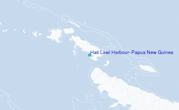
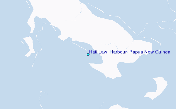
Choose Hati Lawi Harbour, Papua New Guinea Location Map Zoom:
| Contours: | Roads & Rivers: | Select a
tide station / surf break / city |
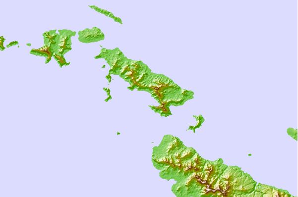
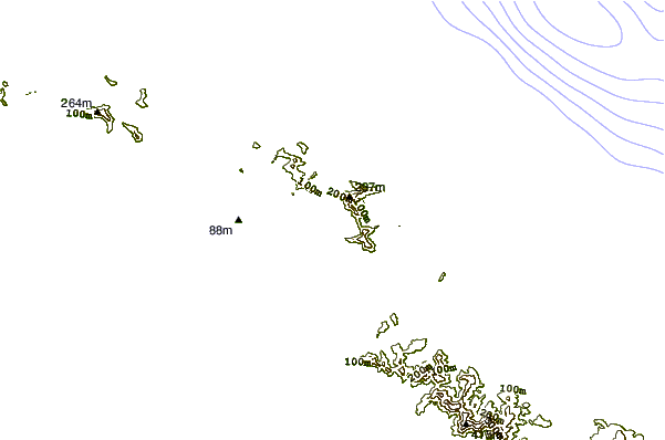
Use this relief map to navigate to tide stations, surf breaks and cities that are in the area of Hati Lawi Harbour, Papua New Guinea.
Other Nearby Locations' tide tables and tide charts to Hati Lawi Harbour, Papua New Guinea:
click location name for more details
 Surf breaks close to Hati Lawi Harbour, Papua New Guinea:
|
||
|---|---|---|
| Closest surf break | Pailongge | 330 mi |
| Second closest surf break | Titiana | 331 mi |
| Third closest surf break | Coves | 333 mi |
| Fourth closest surf break | Makuti | 336 mi |
| Fifth closest surf break | Despretes | 337 mi |


 Nearest
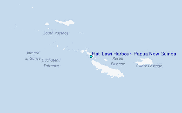