
| Distance / Altitude | Location | Report Date / Time | Live Weather | Wind | Gusts | Temp. | Visibility | Cloud |
|---|---|---|---|---|---|---|---|---|
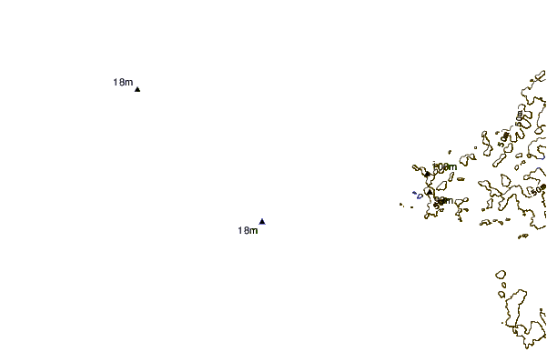
| 37 km N / 15 m | SHIP7606 (Marine) | 2026-03-07 18:00 local (2026/03/07 08:00 GMT) | moderate winds from the WNW (25.2 km/h at 300) | 28°C | - km | |||
| 42 km NNE / 13 m | Horn Island Airport (Australia) | 2026-03-07 18:30 local (2026/03/07 08:30 GMT) | Dry and partly cloudy | light winds from the W (13 km/h at 280) | 28°C | 10.0 | no cloud | |
| 42 km NNE / 5 m | Horn Island Automatic Weather Station (Australia) | 2026-03-07 19:00 local (2026/03/07 09:00 GMT) | no report | light winds from the W (13 km/h at 270) | 27°C | - | - no observation - | |
| 140 km NE / 4 m | Coconut Island (Australia) | 2026-03-07 19:00 local (2026/03/07 09:00 GMT) | no report | - (- km/h at -) | 26°C | - | - | |
| 187 km S / 40 m | Scherger Raaf (Australia) | 2026-03-07 19:00 local (2026/03/07 09:00 GMT) | no report | light winds from the NNW (6 km/h at 340) | 27°C | - | - no observation - | |
| 46 km WNW / 15 m | SHIP7280 (Marine) | 2026-03-07 19:00 local (2026/03/07 09:00 GMT) | moderate winds from the NW (25.2 km/h at 310) | 29°C | - km | |||
| 46 km WNW / 3 m | SHIP6795 (Marine) | 2026-03-07 19:00 local (2026/03/07 09:00 GMT) | moderate winds from the NW (25 km/h at 310) | 28°C | - | |||
| 95 km NNE / 15 m | SHIP6972 (Marine) | 2026-03-07 19:00 local (2026/03/07 09:00 GMT) | moderate winds from the WSW (28.8 km/h at 240) | 29°C | - km | |||
| 95 km NNE / 3 m | SHIP6793 (Marine) | 2026-03-07 19:00 local (2026/03/07 09:00 GMT) | fresh winds from the WSW (29 km/h at 240) | 28°C | - | |||
| 101 km NE / 15 m | SHIP3267 (Marine) | 2026-03-07 18:00 local (2026/03/07 08:00 GMT) | moderate winds from the WSW (28.8 km/h at 240) | 29°C | - km |
| Contours: | Roads & Rivers: | Select a
tide station / surf break / city |
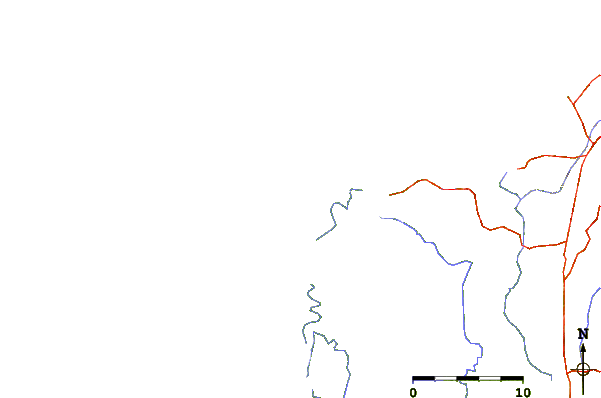
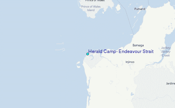
Use this relief map to navigate to tide stations, surf breaks and cities that are in the area of Herald Camp, Endeavour Strait.
Other Nearby Locations' tide tables and tide charts to Herald Camp, Endeavour Strait:
click location name for more details
 Surf breaks close to Herald Camp, Endeavour Strait:
|
||
|---|---|---|
| Closest surf break | Tupira Right | 502 mi |
| Second closest surf break | Forok Point | 518 mi |
| Third closest surf break | The Wharf (Mission Point) | 520 mi |
| Fourth closest surf break | Wewak Point | 520 mi |
| Fifth closest surf break | Moem Point | 521 mi |


 Nearest
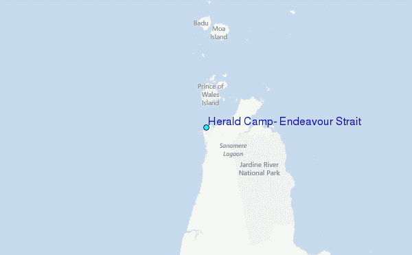