
| Distance / Altitude | Location | Report Date / Time | Live Weather | Wind | Gusts | Temp. | Visibility | Cloud |
|---|---|---|---|---|---|---|---|---|
| 15 km NE / 217 m | Brunswick Golden Isles Airport (Georgia) | 2025-12-25 02:35 local (2025/12/25 07:35 GMT) | Fog - | calm (0 km/h at 0) | 11°C | 1 | ||
| 17 km E / 218 m | Brunswick Airport (Georgia) | 2025-12-25 02:35 local (2025/12/25 07:35 GMT) | Mist - | calm (0 km/h at 0) | — | 10 | ||
| 39 km NE / 3 m | BUOY-SAXG1 (Marine) | 2025-12-25 02:00 local (2025/12/25 07:00 GMT) | calm (5 km/h at 180) | 13°C | - | |||
| 42 km S / 3 m | BUOY-KBMG1 (Marine) | 2025-12-25 02:48 local (2025/12/25 07:48 GMT) | - (- km/h at -) | — | - | |||
| 53 km S / 3 m | BUOY-FRDF1 (Marine) | 2025-12-25 02:48 local (2025/12/25 07:48 GMT) | - (0 km/h at -) | — | - | |||
| 54 km WNW / 33 m | Jesup/Wayne County Airport (Georgia) | 2025-12-25 02:37 local (2025/12/25 07:37 GMT) | Mist - | calm (0 km/h at 0) | 11°C | 8 | scattered | |
| 55 km SSE / 5 m | Fernandina Beach wx (United States) | 2025-12-25 03:05 local (2025/12/25 08:05 GMT) | dry | calm (0 km/h at 162) | 14°C | - | - - 0 | |
| 60 km S / 9 m | Fernandina Beach (Florida) | 2025-12-25 03:18 local (2025/12/25 08:18 GMT) | dry | calm (0 km/h at 340) | 12°C | - | - - 0 | |
| 69 km ENE / - m | SHIP674 (ocean) | 2025-12-25 02:00 local (2025/12/25 07:00 GMT) | - | light winds from the WSW (7 km/h at 250) | 16°C | - | no observation | |
| 69 km ENE / - m | SHIP1594 (ocean) | 2025-12-25 02:00 local (2025/12/25 07:00 GMT) | - | light winds from the WSW (7 km/h at 250) | 16°C | - | no observation |
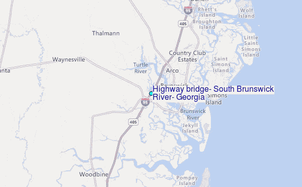
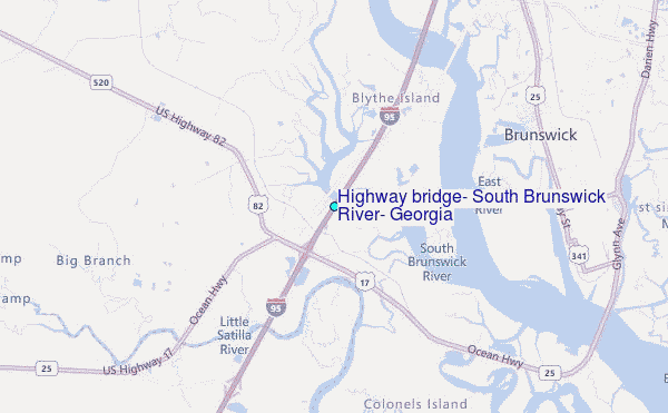
Choose Highway bridge, South Brunswick River, Georgia Location Map Zoom:
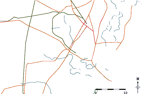
| Contours: | Roads & Rivers: | Select a
tide station / surf break / city |
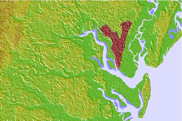

Use this relief map to navigate to tide stations, surf breaks and cities that are in the area of Highway bridge, South Brunswick River, Georgia.
Other Nearby Locations' tide tables and tide charts to Highway bridge, South Brunswick River, Georgia:
click location name for more details
 Surf breaks close to Highway bridge, South Brunswick River, Georgia:
|
||
|---|---|---|
| Closest surf break | 5th and 7th Streets | 11 mi |
| Second closest surf break | Coastguard/St Simons | 11 mi |
| Third closest surf break | Comfort Inn/Jeckyll Island | 12 mi |
| Fourth closest surf break | St Simons Island | 12 mi |
| Fifth closest surf break | Goulds Inlet | 12 mi |


 Nearest
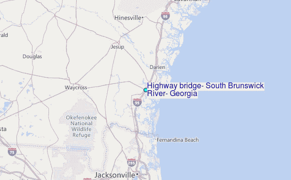