
| Distance / Altitude | Location | Report Date / Time | Live Weather | Wind | Gusts | Temp. | Visibility | Cloud |
|---|---|---|---|---|---|---|---|---|
| 29 km NNE / 401 m | Iwakuni Marine Corps Air Station Airport (Japan) | 2026-02-16 17:56 local (2026/02/16 08:56 GMT) | Haze - | moderate winds from the NE (22 km/h at 50) | 11°C | 9.0 | few broken broken | |
| 53 km NNE / 117 m | Roppommatsu wx (Japan) | 2026-02-16 18:41 local (2026/02/16 09:41 GMT) | dry | calm (2 km/h at 108) | 8°C | - | - - 0 | |
| 59 km S / 446 m | Oita Airport (Japan) | 2026-02-16 18:00 local (2026/02/16 09:00 GMT) | Dry and partly cloudy | light winds from the NW (15 km/h at 320) | 12°C | 10.0 | few broken broken | |
| 60 km E / 475 m | Matsuyama Airport (Japan) | 2026-02-16 18:00 local (2026/02/16 09:00 GMT) | Dry and partly cloudy | wind obs. (15 kph from 140 degs) was rejected (- km/h at -) | 12°C | 10.0 | few scattered broken | |
| 64 km E / 9 m | Minamiedo wx (Japan) | 2026-02-16 19:39 local (2026/02/16 10:39 GMT) | dry | light winds from the ENE (6 km/h at 69) | 10°C | - | - - 0 | |
| 69 km WSW / 20 m | Imamurakita wx (Japan) | 2026-02-16 19:09 local (2026/02/16 10:09 GMT) | dry | calm (5 km/h at 204) | 9°C | - | - - 0 | |
| 72 km WSW / 475 m | Yamaguchi/Ube Airport (Japan) | 2026-02-16 18:00 local (2026/02/16 09:00 GMT) | Dry and partly cloudy | light winds from the N.(Wind varies from 300 to 030 degs) (11 km/h at 350) | 11°C | 10.0 | few broken broken | |
| 86 km NW / 373 m | Iwami Airport (Japan) | 2026-02-16 18:00 local (2026/02/16 09:00 GMT) | Dry and partly cloudy | light winds from the NE.(Wind varies from 350 to 090 degs) (19 km/h at 40) | 8°C | 10.0 | few broken broken | |
| 97 km NE / 475 m | New Hiroshima Airport (Japan) | 2026-02-16 18:00 local (2026/02/16 09:00 GMT) | Dry and partly cloudy | light winds from the N.(Wind varies from 340 to 040 degs) (13 km/h at 10) | 7°C | 10.0 | few scattered broken | |
| 104 km WSW / 218 m | Kitakyushu Airport (Japan) | 2026-02-16 18:00 local (2026/02/16 09:00 GMT) | Dry and partly cloudy | moderate winds from the N (24 km/h at 360) | 11°C | 10.0 | few broken broken |
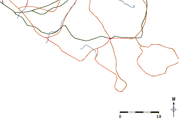
| Contours: | Roads & Rivers: | Select a
tide station / surf break / city |
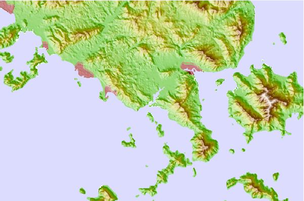
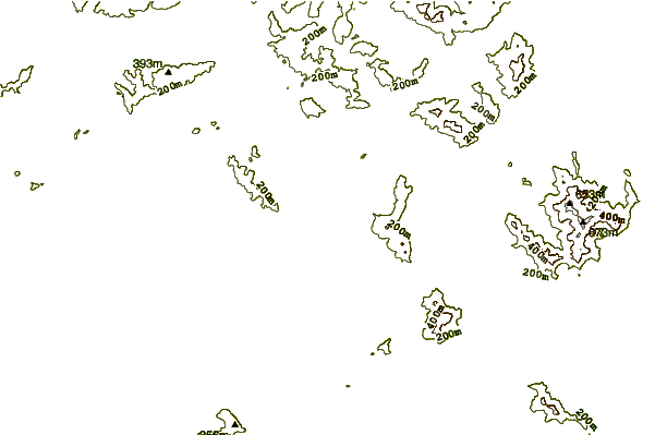
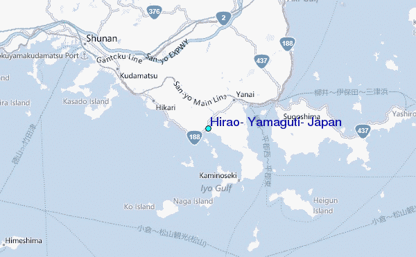
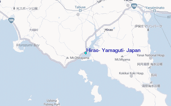
Use this relief map to navigate to tide stations, surf breaks and cities that are in the area of Hirao, Yamaguti, Japan.
Other Nearby Locations' tide tables and tide charts to Hirao, Yamaguti, Japan:
click location name for more details
 Surf breaks close to Hirao, Yamaguti, Japan:
|
||
|---|---|---|
| Closest surf break | Dragons Leaf | 79 mi |
| Second closest surf break | Niyodo Rivermouth | 98 mi |
| Third closest surf break | Kodogawa | 103 mi |
| Fourth closest surf break | Monabe Rivermouth | 103 mi |
| Fifth closest surf break | Okuragahama | 108 mi |


 Nearest
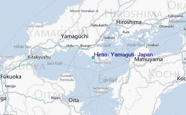