
| Distance / Altitude | Location | Report Date / Time | Live Weather | Wind | Gusts | Temp. | Visibility | Cloud |
|---|---|---|---|---|---|---|---|---|
| 20 km SE / 56 m | CapeWilloughby (Australia) | 2025-12-25 17:30 local (2025/12/25 07:00 GMT) | no report | light winds from the SSE (15 km/h at 150) | 13°C | - | - no observation - | |
| 35 km ENE / 342 m | 2nd Valley Forest (Australia) | 2025-12-25 17:30 local (2025/12/25 07:00 GMT) | no report | light winds from the SSE (15 km/h at 150) | 9°C | - | - no observation - | |
| 39 km WSW / 7 m | KingstoneAero (Australia) | 2025-12-25 17:30 local (2025/12/25 07:00 GMT) | no report | light winds from the WSW (7 km/h at 240) | 8°C | - | - no observation - | |
| 64 km WSW / 165 m | ParndanaCfsAws (Australia) | 2025-12-25 17:30 local (2025/12/25 07:00 GMT) | - | fresh winds from the S (31 km/h at 170) | 17°C | - | no observation | |
| 67 km NE / 277 m | Mount Terrible Radar (Australia) | 2025-12-25 17:30 local (2025/12/25 07:00 GMT) | - | near gales from the SSE (54 km/h at 160) | — | - | - no observation - | |
| 72 km NW / 240 m | Edithburgh (Australia) | 2025-12-25 16:30 local (2025/12/25 06:00 GMT) | no report | light winds from the SSE (17 km/h at 160) | 12°C | - | - no observation - | |
| 81 km NE / 238 m | Noarlunga (Australia) | 2025-12-25 16:30 local (2025/12/25 06:00 GMT) | - | light winds from the SE (7 km/h at 140) | — | - | - | |
| 82 km ENE / 12 m | HindmarshIslandAws (Australia) | 2025-12-25 17:30 local (2025/12/25 07:00 GMT) | no report | light winds from the SSE (15 km/h at 150) | 12°C | - | - no observation - | |
| 88 km NE / 62 m | Halletts Cove wx (Australia) | 2025-12-25 17:42 local (2025/12/25 07:12 GMT) | dry | light winds from the SSW (16 km/h at 196) | 18°C | - | - - 0 | |
| 91 km NE / 366 m | KuitpoForestReserve (Australia) | 2025-12-25 17:30 local (2025/12/25 07:00 GMT) | no report | light winds from the SE (11 km/h at 130) | 7°C | - | - no observation - |
| Contours: | Roads & Rivers: | Select a
tide station / surf break / city |
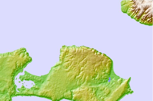
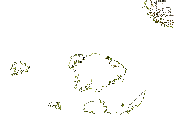
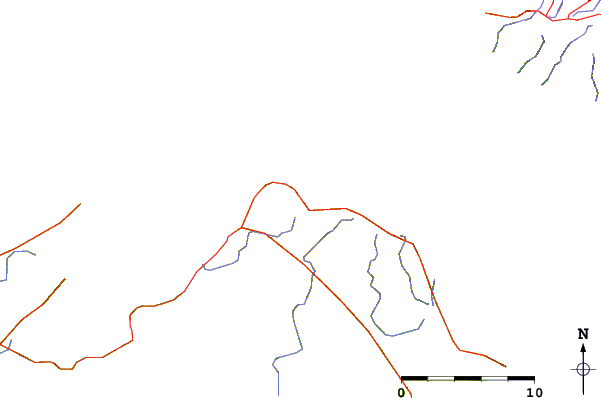
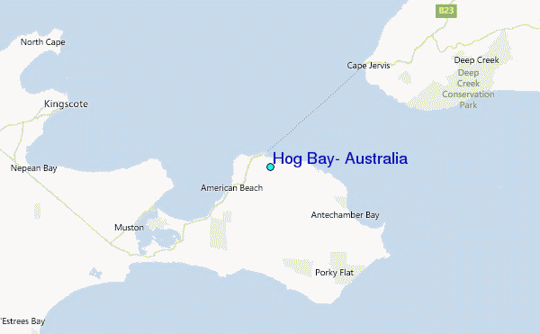
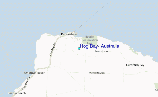
Use this relief map to navigate to tide stations, surf breaks and cities that are in the area of Hog Bay, Australia.
Other Nearby Locations' tide tables and tide charts to Hog Bay, Australia:
click location name for more details
 Surf breaks close to Hog Bay, Australia:
|
||
|---|---|---|
| Closest surf break | Pennington Bay | 15 mi |
| Second closest surf break | Rapid Bay | 19 mi |
| Third closest surf break | Tunkalilla | 22 mi |
| Fourth closest surf break | D'Estrees Bay | 25 mi |
| Fifth closest surf break | Parsons Beach | 30 mi |


 Nearest
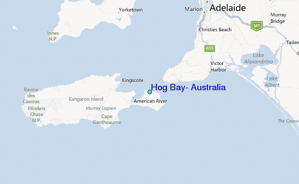