
| Distance / Altitude | Location | Report Date / Time | Live Weather | Wind | Gusts | Temp. | Visibility | Cloud |
|---|---|---|---|---|---|---|---|---|
| 2 km NW / 8 m | Mittarfik Sisimiut (Holsteinsborg Lufthavn) (Greenland) | 2025-12-25 18:00 local (2025/12/25 21:00 GMT) | - | light winds from the W (7 km/h at 270) | — | 19 | - - - | |
| 128 km E / 216 m | Sondre Stromfjord Airport (Greenland) | 2025-12-25 16:50 local (2025/12/25 19:50 GMT) | - | wind obs. (17 kph from 50 degs) was rejected (- km/h at -) | — | 10.0 | no cloud - - | |
| 131 km E / 53 m | MittarfikKangerlussuaq(Sdr. Stroemfjord Lufthavn) (Greenland) | 2025-12-25 17:00 local (2025/12/25 20:00 GMT) | - | moderate winds from the NE (22 km/h at 50) | — | 50 km | - mostly cloudy - | |
| 173 km SSE / 32 m | Mittarfik Maniitsoq (Sukkertoppen Lufthavn) (Greenland) | 2025-12-25 18:00 local (2025/12/25 21:00 GMT) | - | moderate winds from the SE (22 km/h at 140) | — | 3800 | - | |
| 201 km N / 41 m | Aasiaat (Egedesminde) (Greenland) | 2025-12-25 18:00 local (2025/12/25 21:00 GMT) | - | - (- km/h at -) | — | 40 | - | |
| 221 km SSE / 234 m | Sioralik (Greenland) | 2025-12-25 18:00 local (2025/12/25 21:00 GMT) | - | moderate winds from the SSE (22 km/h at 150) | — | - | - | |
| 281 km NNE / 219 m | Jakobshavn Airport (Greenland) | 2025-12-25 17:20 local (2025/12/25 20:20 GMT) | Dry and partly cloudy | strong winds from the E (50 km/h at 100) | -11°C | 10.0 | no cloud | |
| 321 km SSE / 213 m | Godthaabnuuk (Greenland) | 2025-12-25 18:00 local (2025/12/25 21:00 GMT) | continuous light rain | moderate winds from the SE (24 km/h at 140) | 1°C | 9 | few overcast - | |
| 420 km N / 221 m | Nuussuaq (Greenland) | 2025-12-25 18:00 local (2025/12/25 21:00 GMT) | - | calm (4 km/h at 150) | — | - | - | |
| 426 km N / 89 m | Qaarsut Airport (Greenland) | 2025-12-25 18:00 local (2025/12/25 21:00 GMT) | - | light winds from the WSW (6 km/h at 250) | — | 35 | - |
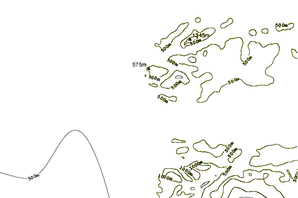
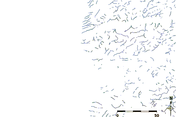
| Contours: | Roads & Rivers: | Select a
tide station / surf break / city |
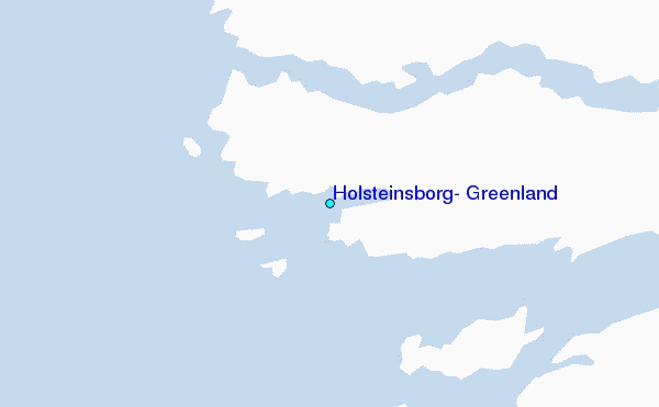
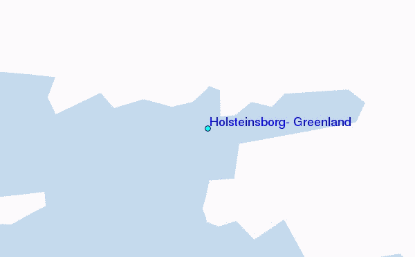
Use this relief map to navigate to tide stations, surf breaks and cities that are in the area of Holsteinsborg, Greenland.
Other Nearby Locations' tide tables and tide charts to Holsteinsborg, Greenland:
click location name for more details
 Surf breaks close to Holsteinsborg, Greenland:
|
||
|---|---|---|
| Closest surf break | Garur | 900 mi |
| Second closest surf break | Hafnir | 905 mi |
| Third closest surf break | Sandvik | 911 mi |
| Fourth closest surf break | Grindavik Antenas | 915 mi |
| Fifth closest surf break | Grotta | 915 mi |


 Nearest
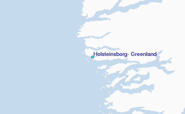