
| Distance / Altitude | Location | Report Date / Time | Live Weather | Wind | Gusts | Temp. | Visibility | Cloud |
|---|---|---|---|---|---|---|---|---|
| 11 km WNW / 75 m | Denman Island (Canada) | 2026-03-14 17:03 local (2026/03/15 00:03 GMT) | dry | calm (0 km/h at 322) | 7°C | - | - - 0 | |
| 18 km E / 20 m | Sisters Il Airport (Canada) | 2026-03-14 18:00 local (2026/03/15 01:00 GMT) | - | moderate winds from the WNW (25 km/h at 300) | — | - | - no observation - | |
| 20 km E / 217 m | Sisters Il Airport (British Columbia) | 2026-03-14 17:00 local (2026/03/15 00:00 GMT) | - | light winds from the NW (19 km/h at 320) | 7°C | 0.0 | ||
| 28 km SSW / 89 m | Kleecoot wx (Canada) | 2026-03-14 17:29 local (2026/03/15 00:29 GMT) | dry | calm (0 km/h at 163) | 8°C | - | - - 0 | |
| 28 km SSW / 76 m | Port Alberni (Aut)- BC (Canada) | 2026-03-14 17:00 local (2026/03/15 00:00 GMT) | no report | calm (4 km/h at 320) | 9°C | - | - | |
| 28 km SE / 58 m | Qualicum Beach Airport (Canada) | 2026-03-14 18:00 local (2026/03/15 01:00 GMT) | - | wind obs. (7 kph from 280 degs) was rejected (- km/h at -) | — | - | - | |
| 29 km NW / 216 m | Comox Millitary Base Airport (British Columbia) | 2026-03-14 17:00 local (2026/03/15 00:00 GMT) | Dry and partly cloudy | light winds from the NNE (13 km/h at 20) | 8°C | 32 | few broken | |
| 29 km NW / 26 m | Cfb - Comox- BC (Canada) | 2026-03-14 18:00 local (2026/03/15 01:00 GMT) | - | - (- km/h at -) | — | - | - | |
| 30 km S / 29 m | Port Alberni (British Columbia) | 2026-03-14 18:13 local (2026/03/15 01:13 GMT) | dry | light winds from the S (14 km/h at 180) | 9°C | - | - - 0 | |
| 32 km S / 33 m | Cameron Heights wx (Canada) | 2026-03-14 17:34 local (2026/03/15 00:34 GMT) | dry | calm (0 km/h at 359) | 8°C | - | - - 0 |
| Contours: | Roads & Rivers: | Select a
tide station / surf break / city |
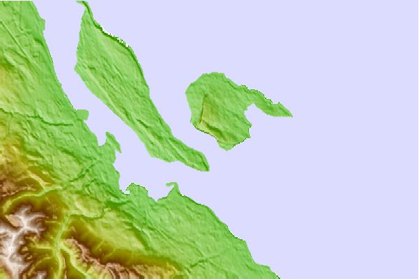
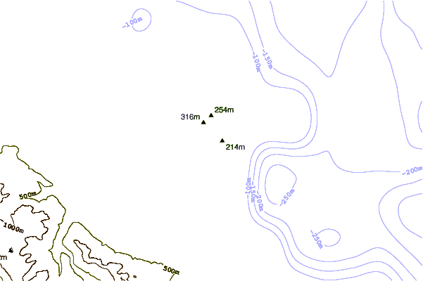
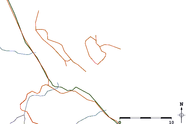
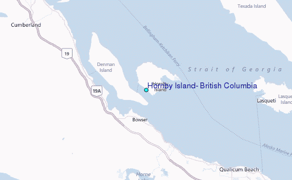
Use this relief map to navigate to tide stations, surf breaks and cities that are in the area of Hornby Island, British Columbia.
Other Nearby Locations' tide tables and tide charts to Hornby Island, British Columbia:
click location name for more details
 Surf breaks close to Hornby Island, British Columbia:
|
||
|---|---|---|
| Closest surf break | Florencia Bay | 55 mi |
| Second closest surf break | Wickaninnish | 56 mi |
| Third closest surf break | Long Beach (Tofino Airport) | 57 mi |
| Fourth closest surf break | Cox Bay | 60 mi |
| Fifth closest surf break | Rosie's Bay | 60 mi |


 Nearest
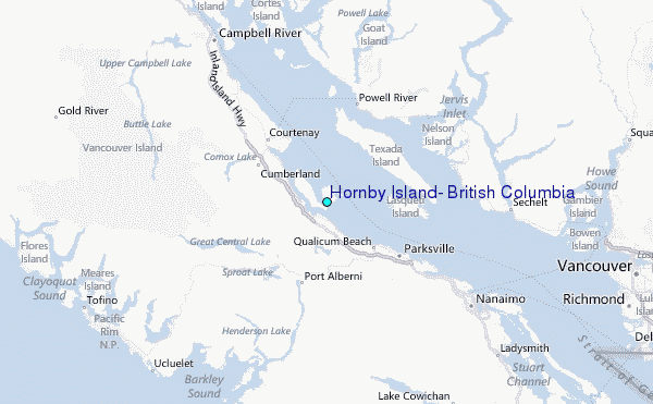