
| Distance / Altitude | Location | Report Date / Time | Live Weather | Wind | Gusts | Temp. | Visibility | Cloud |
|---|---|---|---|---|---|---|---|---|
| 21 km ESE / 18 m | Tokerau Beach wx (New Zealand) | 2025-12-26 22:22 local (2025/12/26 09:22 GMT) | dry | calm (2 km/h at 0) | 19°C | - | - - 0 | |
| 29 km SSE / 86 m | Kaitaia Airport (New Zealand) | 2025-12-26 22:00 local (2025/12/26 09:00 GMT) | Clear skies | light winds from the WSW (13 km/h at 240) | 19°C | 10 km | - no observation - | |
| 62 km WNW / 212 m | CapeReingaAws (New Zealand) | 2025-12-26 22:00 local (2025/12/26 09:00 GMT) | - | moderate winds from the SW (24 km/h at 230) | 17°C | - | - no observation - | |
| 84 km SE / 151 m | Kerikeri Aero Automatic Weather Station (New Zealand) | 2025-12-26 22:00 local (2025/12/26 09:00 GMT) | Clear skies | light winds from the NW (9 km/h at 310) | 19°C | 20 km | no observation | |
| 135 km ESE / 15 m | SHIP8601 (Marine) | 2025-12-26 20:00 local (2025/12/26 07:00 GMT) | - (- km/h at -) | — | - km | |||
| 136 km ESE / 3 m | SHIP3517 (Marine) | 2025-12-26 20:00 local (2025/12/26 07:00 GMT) | - (- km/h at -) | 24°C | - | |||
| 136 km ESE / 15 m | SHIP4394 (Marine) | 2025-12-26 20:00 local (2025/12/26 07:00 GMT) | - (- km/h at -) | — | - km | |||
| 136 km ESE / 15 m | SHIP2438 (Marine) | 2025-12-26 20:00 local (2025/12/26 07:00 GMT) | - (- km/h at -) | — | - km | |||
| 151 km SE / 38 m | Whangarei Aero Automatic Weather Station (New Zealand) | 2025-12-26 22:00 local (2025/12/26 09:00 GMT) | Clear skies | light winds from the NW (7 km/h at 320) | 21°C | 20 km | no observation | |
| 151 km SE / 38 m | Whangarei Aerodrome (New Zealand) | 2025-12-26 22:00 local (2025/12/26 09:00 GMT) | Clear skies | light winds from the NW (7 km/h at 320) | 21°C | 20 km | - no observation - |
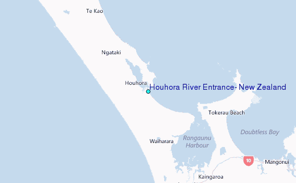
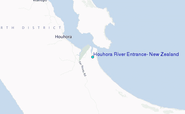
Choose Houhora River Entrance, New Zealand Location Map Zoom:
| Contours: | Roads & Rivers: | Select a
tide station / surf break / city |
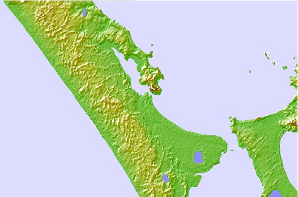
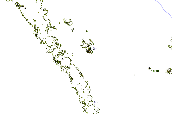
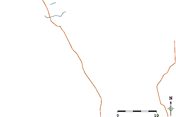
Use this relief map to navigate to tide stations, surf breaks and cities that are in the area of Houhora River Entrance, New Zealand.
Other Nearby Locations' tide tables and tide charts to Houhora River Entrance, New Zealand:
click location name for more details
 Surf breaks close to Houhora River Entrance, New Zealand:
|
||
|---|---|---|
| Closest surf break | Houhora Harbour Bar | 1 mi |
| Second closest surf break | Henderson Bay | 5 mi |
| Third closest surf break | Ranganunu Harbour | 6 mi |
| Fourth closest surf break | Raupo Bay | 8 mi |
| Fifth closest surf break | Ngataki Beach and Paxton Point | 9 mi |


 Nearest
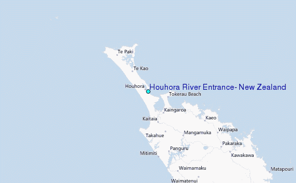