
| Distance / Altitude | Location | Report Date / Time | Live Weather | Wind | Gusts | Temp. | Visibility | Cloud |
|---|---|---|---|---|---|---|---|---|
| 249 km NE / 34 m | Iqaluit (Canada) | 2026-03-14 20:00 local (2026/03/15 00:00 GMT) | - | calm (4 km/h at 150) | — | - | - | |
| 250 km NE / 217 m | Frobisher/Iqaluit Airport (N.w. Territories) | 2026-03-14 20:00 local (2026/03/15 00:00 GMT) | - | calm (4 km/h at 150) | -27°C | 24 | few few - | |
| 351 km WNW / 217 m | Cape Dorset Airport (N.w. Territories) | 2026-03-14 20:00 local (2026/03/15 00:00 GMT) | - | fresh winds from the SW (35 km/h at 220) | -25°C | 0.0 | broken | |
| 352 km WNW / 50 m | Cape Dorset Climate- NU (Canada) | 2026-03-14 20:00 local (2026/03/15 00:00 GMT) | - | moderate winds from the WSW (22 km/h at 250) | — | - | - - - | |
| 374 km SW / 285 m | Akulivik Airport (Quebec) | 2026-03-14 20:51 local (2026/03/15 00:51 GMT) | - | light winds from the SW (9 km/h at 230) | — | 24 | ||
| 377 km SW / 339 m | Puvirnituq Airport (Quebec) | 2026-03-14 20:00 local (2026/03/15 00:00 GMT) | Clear | light winds from the SSW (17 km/h at 200) | -31°C | 14 | ||
| 462 km S / 171 m | Riviere Aux Feuilles- Que (Canada) | 2026-03-14 20:00 local (2026/03/15 00:00 GMT) | - | wind obs. (40 kph from 260 degs) was rejected (- km/h at -) | — | - | - | |
| 469 km SSE / 216 m | Kuujjuaq Airport (Quebec) | 2026-03-14 20:00 local (2026/03/15 00:00 GMT) | - | light winds from the W.(Wind varies from 210 to 290 degs) (7 km/h at 260) | -21°C | 24 | few few | |
| 479 km SE / 282 m | Kangiksualujjuaq Airport (Quebec) | 2026-03-14 21:01 local (2026/03/15 01:01 GMT) | - | light winds from the WSW.(Wind varies from 190 to 290 degs) (7 km/h at 250) | -19°C | 24 | few | |
| 536 km SSW / 217 m | Inukjuak Airport (Quebec) | 2026-03-14 20:00 local (2026/03/15 00:00 GMT) | Clear | light winds from the WSW (19 km/h at 240) | -27°C | 14 | - - - |
| Contours: | Roads & Rivers: | Select a
tide station / surf break / city |
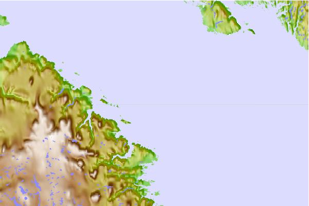
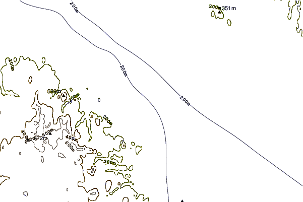
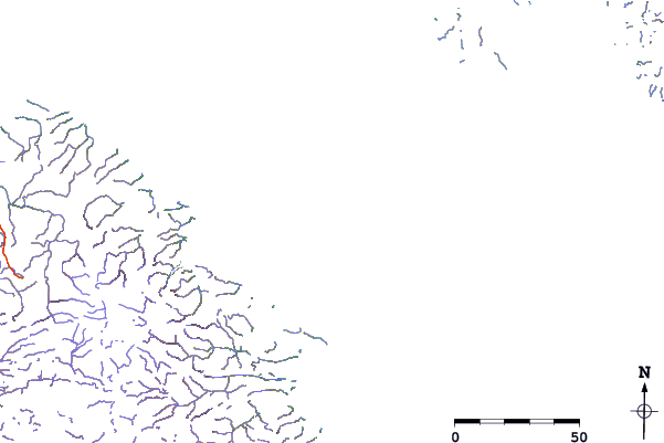
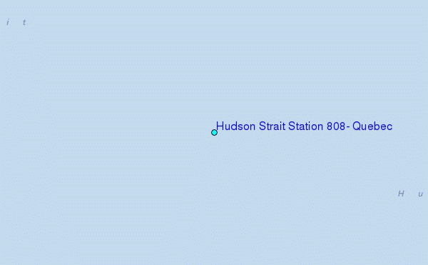
Use this relief map to navigate to tide stations, surf breaks and cities that are in the area of Hudson Strait Station 808, Quebec.
Other Nearby Locations' tide tables and tide charts to Hudson Strait Station 808, Quebec:
click location name for more details
 Surf breaks close to Hudson Strait Station 808, Quebec:
|
||
|---|---|---|
| Closest surf break | Marathon | 1084 mi |
| Second closest surf break | Alona Bay | 1147 mi |
| Third closest surf break | Ingonish Beach | 1150 mi |
| Fourth closest surf break | Keweenaw Peninsula | 1196 mi |
| Fifth closest surf break | Bayfield | 1201 mi |


 Nearest
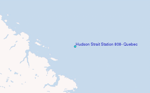