
| Distance / Altitude | Location | Report Date / Time | Live Weather | Wind | Gusts | Temp. | Visibility | Cloud |
|---|---|---|---|---|---|---|---|---|
| 216 km NNE / 65 m | Eureka Climate (Canada) | 2026-07-26 06:00 local (2026/07/26 10:00 GMT) | no report | wind obs. (14 kph from 300 degs) was rejected (- km/h at -) | 4°C | - | - - - | |
| 218 km NNE / 198 m | Eureka Airport (N.w. Territories) | 2026-07-26 05:00 local (2026/07/26 09:00 GMT) | Dry and partly cloudy | moderate winds from the ESE (22 km/h at 110) | 3°C | 24 | few scattered broken | |
| 241 km SE / 44 m | Grise Fiord Climate- NU (Canada) | 2026-07-26 05:00 local (2026/07/26 09:00 GMT) | no report | calm (4 km/h at 130) | 1°C | - | - | |
| 343 km N / 72 m | Svartevaeg- NU (Canada) | 2026-07-26 05:00 local (2026/07/26 09:00 GMT) | no report | wind obs. (18 kph from 330 degs) was rejected (- km/h at -) | 1°C | - | - | |
| 413 km S / 216 m | Resolute Airport (N.w. Territories) | 2026-07-26 05:08 local (2026/07/26 09:08 GMT) | Dry and partly cloudy | light winds from the SE (15 km/h at 140) | 3°C | 48 | broken | |
| 413 km S / 30 m | Resolute CS Airport (Nunavut) | 2026-07-26 06:00 local (2026/07/26 10:00 GMT) | no report | wind obs. (7 kph from 290 degs) was rejected (- km/h at -) | 1°C | 0.0 | - - - | |
| 414 km S / 30 m | Resolute (Canada) | 2026-07-26 05:00 local (2026/07/26 09:00 GMT) | no report | wind obs. (7 kph from 270 degs) was rejected (- km/h at -) | 0°C | - | - | |
| 420 km ESE / 15 m | Carey Island (Greenland) | 2026-07-26 06:00 local (2026/07/26 10:00 GMT) | no report | wind obs. (19 kph from 280 degs) was rejected (- km/h at -) | 4°C | - | - - - | |
| 463 km E / 17 m | Mittarfik Qaanaaq (Greenland) | 2026-07-26 06:00 local (2026/07/26 10:00 GMT) | no report | calm (2 km/h at 300) | 4°C | 45 | - - - | |
| 526 km SW / 15 m | Rea Point- NU (Canada) | 2026-07-26 06:00 local (2026/07/26 10:00 GMT) | no report | wind obs. (14 kph from 160 degs) was rejected (- km/h at -) | 0°C | - | - - - |
| Contours: | Roads & Rivers: | Select a
tide station / surf break / city |
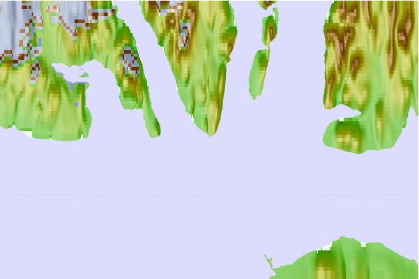
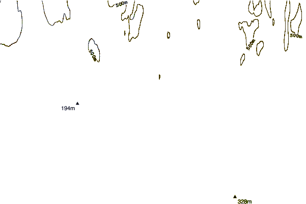
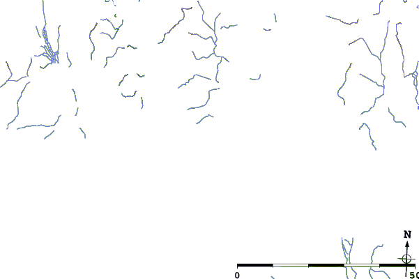
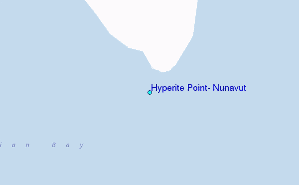
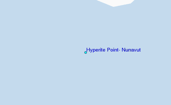
Use this relief map to navigate to tide stations, surf breaks and cities that are in the area of Hyperite Point, Nunavut.
Other Nearby Locations' tide tables and tide charts to Hyperite Point, Nunavut:
click location name for more details
 Surf breaks close to Hyperite Point, Nunavut:
|
||
|---|---|---|
| Closest surf break | Eyvik | 1599 mi |
| Second closest surf break | Garur | 1643 mi |
| Third closest surf break | Grotta | 1648 mi |
| Fourth closest surf break | Hafnir | 1653 mi |
| Fifth closest surf break | Hafnarfjordur | 1655 mi |


 Nearest
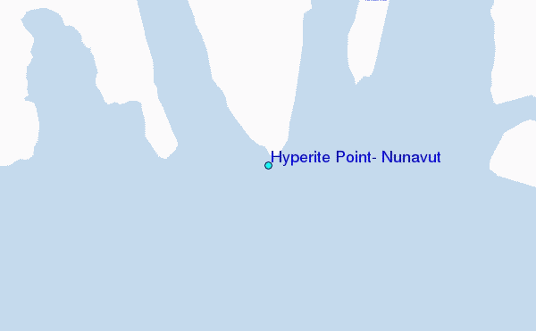