
| Distance / Altitude | Location | Report Date / Time | Live Weather | Wind | Gusts | Temp. | Visibility | Cloud |
|---|---|---|---|---|---|---|---|---|
| 7 km N / 216 m | Charleston Airport (South Carolina) | 2026-06-23 23:56 local (2026/06/24 03:56 GMT) | - | light winds from the WNW (9 km/h at 300) | 27°C | 16 | few | |
| 11 km ESE / 3 m | BUOY-CHTS1 (Marine) | 2026-06-24 01:00 local (2026/06/24 05:00 GMT) | light winds from the WNW (9 km/h at 300) | 28°C | - | |||
| 15 km S / 6 m | Charleston Executive Airport (South Carolina) (South Carolina) | 2026-06-24 00:35 local (2026/06/24 04:35 GMT) | - | light winds from the WNW (9 km/h at 290) | 26°C | 16 | few | |
| 23 km ENE / 4 m | Mount Pleasant Regional Airport-Faison Field (South Carolina) (South Carolina) | 2026-06-24 00:35 local (2026/06/24 04:35 GMT) | Clear | calm (0 km/h at 0) | 27°C | 16 | ||
| 35 km WNW / 18 m | Summerville Airport (South Carolina) (South Carolina) | 2026-06-24 00:35 local (2026/06/24 04:35 GMT) | Clear | light winds from the WNW (6 km/h at 300) | 25°C | 16 | ||
| 38 km E / 3 m | BUOY-41065 (Marine) | 2026-06-24 00:30 local (2026/06/24 04:30 GMT) | - (- km/h at -) | — | - | |||
| 38 km E / 3 m | BUOY-41029 (Marine) | 2026-06-24 01:08 local (2026/06/24 05:08 GMT) | light winds from the WNW (18 km/h at 300) | 28°C | - | |||
| 38 km N / 23 m | Berkeley Moncks County Airport (South Carolina) (South Carolina) | 2026-06-24 00:35 local (2026/06/24 04:35 GMT) | Clear | calm (0 km/h at 0) | 24°C | 16 | ||
| 47 km SE / 3 m | BUOY-41066 (Marine) | 2026-06-24 01:08 local (2026/06/24 05:08 GMT) | moderate winds from the NW (22 km/h at 310) | 28°C | - | |||
| 47 km SE / 3 m | BUOY-41076 (Marine) | 2026-06-24 00:45 local (2026/06/24 04:45 GMT) | - (- km/h at -) | — | - |
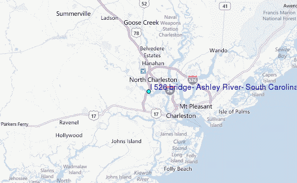
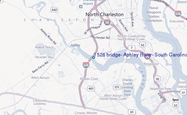
Choose I 526 bridge, Ashley River, South Carolina Location Map Zoom:
| Contours: | Roads & Rivers: | Select a
tide station / surf break / city |
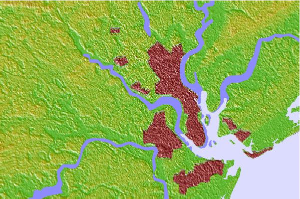

Use this relief map to navigate to tide stations, surf breaks and cities that are in the area of I 526 bridge, Ashley River, South Carolina.
Other Nearby Locations' tide tables and tide charts to I 526 bridge, Ashley River, South Carolina:
click location name for more details
 Surf breaks close to I 526 bridge, Ashley River, South Carolina:
|
||
|---|---|---|
| Closest surf break | Berts Bar | 12 mi |
| Second closest surf break | Folly Beach | 13 mi |
| Third closest surf break | The Washout | 13 mi |
| Fourth closest surf break | Folly Beach Pier | 14 mi |
| Fifth closest surf break | 35th Street Iop | 15 mi |


 Nearest
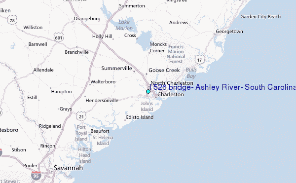