
| Distance / Altitude | Location | Report Date / Time | Live Weather | Wind | Gusts | Temp. | Visibility | Cloud |
|---|---|---|---|---|---|---|---|---|
| 45 km S / 8 m | Iles DE LA Madeleine- Que (Canada) | 2025-12-25 03:00 local (2025/12/25 08:00 GMT) | - | wind obs. (32 kph from 250 degs) was rejected (- km/h at -) | — | - | - - - | |
| 47 km S / 194 m | Iles de la madel Airport (Quebec) | 2025-12-25 02:00 local (2025/12/25 07:00 GMT) | - | light winds from the NNE (19 km/h at 20) | -5°C | 0.0 | ||
| 59 km NW / 15 m | SHIP3431 (Marine) | 2025-12-25 03:00 local (2025/12/25 08:00 GMT) | light winds from the SW (11.16 km/h at 230) | — | - km | |||
| 59 km NW / 3 m | SHIP3213 (Marine) | 2025-12-25 03:00 local (2025/12/25 08:00 GMT) | light winds from the SW (11 km/h at 230) | -6°C | - | |||
| 59 km NW / 3 m | SHIP8130 (Marine) | 2025-12-25 03:00 local (2025/12/25 08:00 GMT) | light winds from the SW (11 km/h at 230) | -6°C | - | |||
| 82 km NW / 3 m | SHIP2156 (Marine) | 2025-12-25 02:00 local (2025/12/25 07:00 GMT) | light winds from the WSW (13 km/h at 250) | -7°C | - | |||
| 82 km NW / 15 m | SHIP8638 (Marine) | 2025-12-25 02:00 local (2025/12/25 07:00 GMT) | light winds from the WSW (12.96 km/h at 250) | — | - km | |||
| 82 km NW / 3 m | SHIP5919 (Marine) | 2025-12-25 02:00 local (2025/12/25 07:00 GMT) | light winds from the WSW (13 km/h at 250) | -7°C | - | |||
| 82 km NW / 3 m | SHIP5449 (Marine) | 2025-12-25 02:00 local (2025/12/25 07:00 GMT) | light winds from the WSW (13 km/h at 250) | -7°C | - | |||
| 82 km NW / 15 m | SHIP3871 (Marine) | 2025-12-25 02:00 local (2025/12/25 07:00 GMT) | light winds from the WSW (12.96 km/h at 250) | — | - km |
| Contours: | Roads & Rivers: | Select a
tide station / surf break / city |
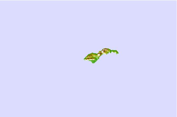
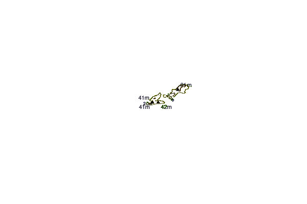
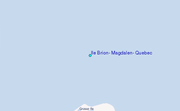
Use this relief map to navigate to tide stations, surf breaks and cities that are in the area of Ile Brion, Magdalen, Quebec.
Other Nearby Locations' tide tables and tide charts to Ile Brion, Magdalen, Quebec:
click location name for more details
 Surf breaks close to Ile Brion, Magdalen, Quebec:
|
||
|---|---|---|
| Closest surf break | Ingonish Beach | 95 mi |
| Second closest surf break | Kennington Cove | 149 mi |
| Third closest surf break | Michaud Point | 158 mi |
| Fourth closest surf break | Martinique | 229 mi |
| Fifth closest surf break | Lawrencetown Left Point | 234 mi |


 Nearest
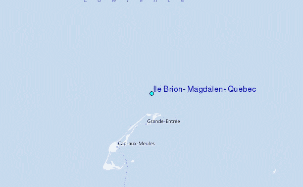