
| Distance / Altitude | Location | Report Date / Time | Live Weather | Wind | Gusts | Temp. | Visibility | Cloud |
|---|---|---|---|---|---|---|---|---|
| 9 km W / 216 m | Ile Rouge Airport (Quebec) | 2026-07-26 09:00 local (2026/07/26 13:00 GMT) | - | light winds from the E (11 km/h at 80) | 11°C | 0.0 | ||
| 18 km NW / 15 m | SHIP3160 (Marine) | 2026-07-26 09:00 local (2026/07/26 13:00 GMT) | light winds from the ESE (7.5600000000000005 km/h at 110) | — | - km | |||
| 29 km S / 146 m | Riviere -DU -Loup- Que (Canada) | 2026-07-26 10:00 local (2026/07/26 14:00 GMT) | no report | light winds from the SW (7 km/h at 230) | 24°C | - | - - - | |
| 31 km S / 197 m | Rivière-du-Loup Airport (Quebec) | 2026-07-26 09:00 local (2026/07/26 13:00 GMT) | - | calm (4 km/h at 140) | 19°C | 0.0 | ||
| 56 km NE / 215 m | Ile Bicquette Airport (Quebec) | 2026-07-26 09:00 local (2026/07/26 13:00 GMT) | - | calm (4 km/h at 260) | 12°C | 0.0 | ||
| 28 km N / 3 m | SHIP1035 (Marine) | 2026-07-26 09:00 local (2026/07/26 13:00 GMT) | light winds from the N (8 km/h at 10) | — | - | |||
| 28 km N / 15 m | SHIP1628 (Marine) | 2026-07-26 09:00 local (2026/07/26 13:00 GMT) | light winds from the N (7.5600000000000005 km/h at 10) | — | - km | |||
| 28 km N / 3 m | SHIP4081 (Marine) | 2026-07-26 09:00 local (2026/07/26 13:00 GMT) | light winds from the N (8 km/h at 10) | — | - | |||
| 29 km S / 146 m | Riviere -DU -Loup- Que (Canada) | 2026-07-26 10:00 local (2026/07/26 14:00 GMT) | no report | light winds from the SW (7 km/h at 230) | 24°C | - | - - - | |
| 31 km S / 197 m | Rivière-du-Loup Airport (Quebec) | 2026-07-26 09:00 local (2026/07/26 13:00 GMT) | - | calm (4 km/h at 140) | 19°C | 0.0 |
| Contours: | Roads & Rivers: | Select a
tide station / surf break / city |
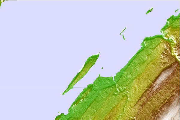
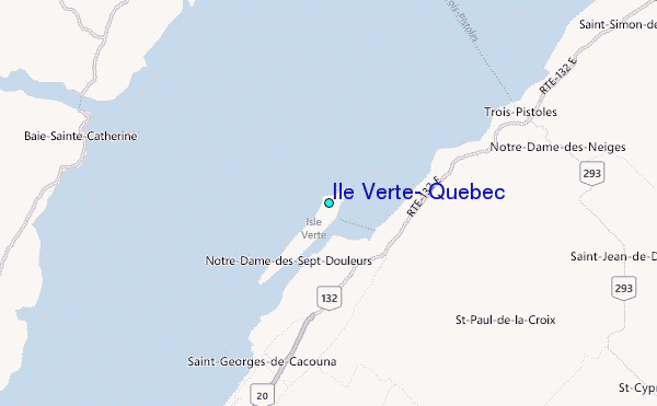
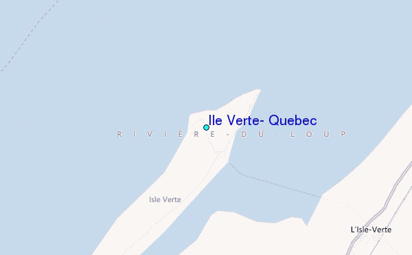
Use this relief map to navigate to tide stations, surf breaks and cities that are in the area of Ile Verte, Quebec.
Other Nearby Locations' tide tables and tide charts to Ile Verte, Quebec:
click location name for more details
 Surf breaks close to Ile Verte, Quebec:
|
||
|---|---|---|
| Closest surf break | Trayhan's | 298 mi |
| Second closest surf break | Popham Read | 299 mi |
| Third closest surf break | Doc Browns | 313 mi |
| Fourth closest surf break | Two Lights | 313 mi |
| Fifth closest surf break | Higgins Beach | 313 mi |


 Nearest
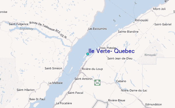