
| Distance / Altitude | Location | Report Date / Time | Live Weather | Wind | Gusts | Temp. | Visibility | Cloud |
|---|---|---|---|---|---|---|---|---|
| 3 km E / 15 m | SHIP8577 (Marine) | 2026-02-13 02:00 local (2026/02/13 07:00 GMT) | calm (5.4 km/h at 360) | — | - km | |||
| 5 km SW / 91 m | Ste-Foy(U. Laval)- Que (Canada) | 2026-02-13 04:00 local (2026/02/13 09:00 GMT) | - | wind obs. (9 kph from 220 degs) was rejected (- km/h at -) | -10°C | - | no observation | |
| 5 km NNE / 10 m | Beauport Airport (Canada) | 2026-02-13 04:00 local (2026/02/13 09:00 GMT) | - | light winds from the WSW (9 km/h at 240) | -10°C | - | no observation | |
| 9 km S / 63 m | Charny wx (Canada) | 2026-02-13 04:19 local (2026/02/13 09:19 GMT) | - | light winds from the WSW (10 km/h at 255) | -10°C | - | - - 0 | |
| 10 km E / 191 m | Beauport Airport (Quebec) | 2026-02-13 03:00 local (2026/02/13 08:00 GMT) | - | light winds from the W (6 km/h at 260) | -9°C | 0.0 | ||
| 3 km E / 3 m | SHIP2023 (Marine) | 2026-02-13 02:00 local (2026/02/13 07:00 GMT) | calm (5 km/h at 360) | -7°C | - | |||
| 3 km E / 15 m | SHIP3661 (Marine) | 2026-02-13 02:00 local (2026/02/13 07:00 GMT) | calm (5.4 km/h at 360) | — | - km | |||
| 3 km E / 15 m | SHIP7969 (Marine) | 2026-02-13 03:00 local (2026/02/13 08:00 GMT) | calm (5.4 km/h at 300) | — | - km | |||
| 3 km E / 3 m | SHIP6810 (Marine) | 2026-02-13 02:00 local (2026/02/13 07:00 GMT) | calm (5 km/h at 360) | -7°C | - | |||
| 3 km E / 3 m | SHIP8843 (Marine) | 2026-02-13 02:00 local (2026/02/13 07:00 GMT) | calm (5 km/h at 360) | -7°C | - |
| Contours: | Roads & Rivers: | Select a
tide station / surf break / city |
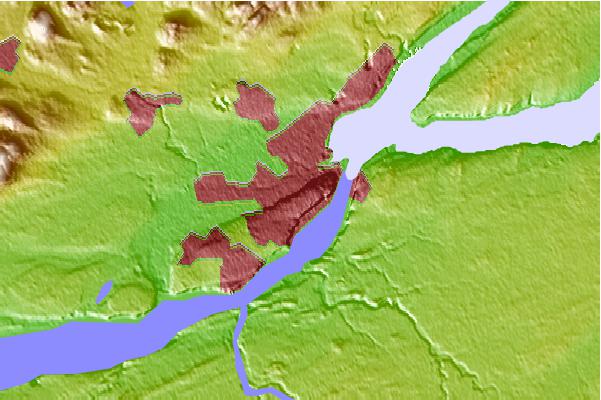
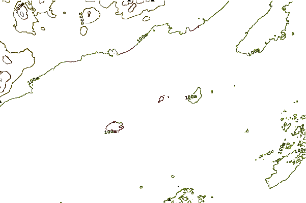
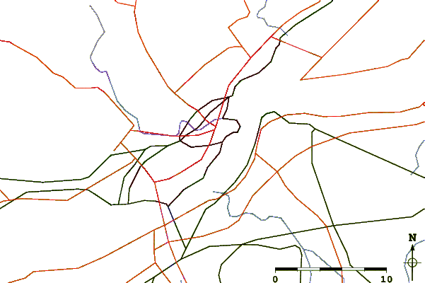
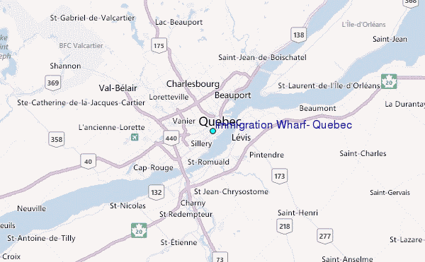
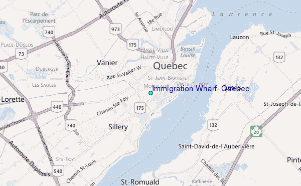
Use this relief map to navigate to tide stations, surf breaks and cities that are in the area of Immigration Wharf, Quebec.
Other Nearby Locations' tide tables and tide charts to Immigration Wharf, Quebec:
click location name for more details
 Surf breaks close to Immigration Wharf, Quebec:
|
||
|---|---|---|
| Closest surf break | Trayhan's | 219 mi |
| Second closest surf break | Popham Read | 223 mi |
| Third closest surf break | Higgins Beach | 229 mi |
| Fourth closest surf break | Doc Browns | 229 mi |
| Fifth closest surf break | Pine Point | 229 mi |


 Nearest
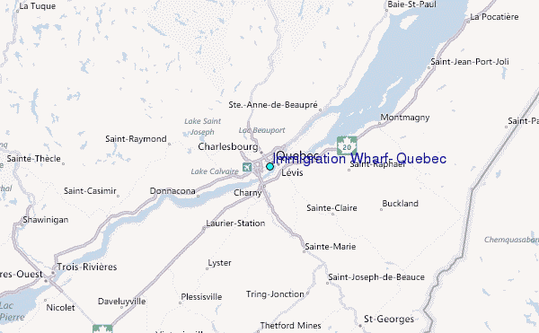