
| Distance / Altitude | Location | Report Date / Time | Live Weather | Wind | Gusts | Temp. | Visibility | Cloud |
|---|---|---|---|---|---|---|---|---|
| 83 km S / 14 m | Cartwright (Canada) | 2025-12-23 23:00 local (2025/12/24 03:00 GMT) | - | wind obs. (7 kph from 230 degs) was rejected (- km/h at -) | — | 36 km | - overcast - | |
| 86 km S / 12 m | Cartwright Airport (Newfoundland) | 2025-12-23 22:00 local (2025/12/24 02:00 GMT) | Dry and cloudy | fresh winds from the NW (31 km/h at 310) | -13°C | 14 | overcast | |
| 223 km W / 212 m | Hopedale Airport (Newfoundland) | 2025-12-23 22:00 local (2025/12/24 02:00 GMT) | - | strong winds from the S (50 km/h at 180) | -19°C | 0.0 | ||
| 223 km W / 10 m | Hopedale (Aut)- Nfld (Canada) | 2025-12-23 23:00 local (2025/12/24 03:00 GMT) | - | - (- km/h at 320) | — | - | - | |
| 244 km SW / 1 m | Goose Ua- Nfld (Canada) | 2025-12-23 23:00 local (2025/12/24 03:00 GMT) | - | - (- km/h at -) | — | - | - | |
| 246 km SW / 216 m | Goose Bay Airport (Newfoundland) | 2025-12-23 22:00 local (2025/12/24 02:00 GMT) | Dry and partly cloudy | light winds from the W (13 km/h at 260) | -21°C | 24 | few few few | |
| 256 km SSE / 1 m | Marys Harbour (Canada) | 2025-12-23 23:00 local (2025/12/24 03:00 GMT) | Continuous light snow | moderate winds from the NW (26 km/h at 320) | -11°C | 2.8 km | - overcast - | |
| 257 km SSE / 217 m | Mary's Harbour Airport (Newfoundland) | 2025-12-23 22:44 local (2025/12/24 02:44 GMT) | Dry and cloudy | moderate winds from the NW (26 km/h at 320) | -11°C | 0.0 | overcast | |
| 334 km S / 37 m | LourdesDEBlanc Sablon A- Que (Canada) | 2025-12-23 23:00 local (2025/12/24 03:00 GMT) | - | light winds from the N (19 km/h at 360) | — | 44 km | - overcast - | |
| 334 km S / 216 m | Blanc Sablon Airport (Quebec) | 2025-12-23 22:00 local (2025/12/24 02:00 GMT) | Dry and cloudy | moderate winds from the N (20 km/h at 360) | -11°C | 24 | overcast |
| Contours: | Roads & Rivers: | Select a
tide station / surf break / city |
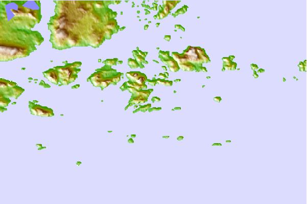
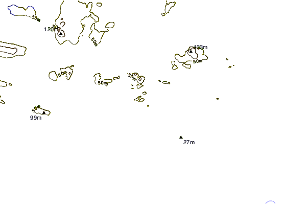
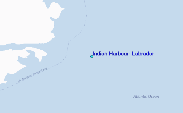
Use this relief map to navigate to tide stations, surf breaks and cities that are in the area of Indian Harbour, Labrador.
Other Nearby Locations' tide tables and tide charts to Indian Harbour, Labrador:
click location name for more details
 Surf breaks close to Indian Harbour, Labrador:
|
||
|---|---|---|
| Closest surf break | Ingonish Beach | 558 mi |
| Second closest surf break | Kennington Cove | 606 mi |
| Third closest surf break | Michaud Point | 633 mi |
| Fourth closest surf break | Martinique | 725 mi |
| Fifth closest surf break | Lawrencetown Left Point | 731 mi |


 Nearest
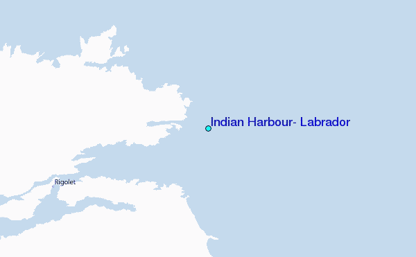