
| Distance / Altitude | Location | Report Date / Time | Live Weather | Wind | Gusts | Temp. | Visibility | Cloud |
|---|---|---|---|---|---|---|---|---|
| 0 km NE / 208 m | Ingonish Beach Airport (Nova Scotia) | 2025-12-25 07:00 local (2025/12/25 11:00 GMT) | - | light winds from the NNE (9 km/h at 20) | -3°C | 0.0 | ||
| 2 km WNW / 15 m | Ingonish (Canada) | 2025-12-25 08:02 local (2025/12/25 12:02 GMT) | - | light winds from the NW (8 km/h at 321) | -3°C | - | - - 0 | |
| 2 km SW / 11 m | Ingonish Beach Cs- NS (Canada) | 2025-12-25 07:00 local (2025/12/25 11:00 GMT) | - | wind obs. (11 kph from 250 degs) was rejected (- km/h at -) | — | - | - no observation - | |
| 6 km SSW / 6 m | Ingonish River (Canada) | 2025-12-25 07:04 local (2025/12/25 11:04 GMT) | - | wind obs. (13 kph from 98 degs) was rejected (- km/h at -) | -3°C | - | - - 0 | |
| 17 km S / 10 m | Wreck Cove (Canada) | 2025-12-25 07:37 local (2025/12/25 11:37 GMT) | - | light winds from the N (11 km/h at 4) | -3°C | - | - - 0 | |
| 18 km NNE / 13 m | Neils Harbour (Canada) | 2025-12-25 07:23 local (2025/12/25 11:23 GMT) | - | calm (0 km/h at 65) | -3°C | - | - - 0 | |
| 23 km NW / 3 m | South Harbour (Canada) | 2025-12-25 08:19 local (2025/12/25 12:19 GMT) | - | light winds from the NNW (10 km/h at 338) | -3°C | - | - - 0 | |
| 23 km N / 23 m | Smelt Brook (Canada) | 2025-12-25 07:30 local (2025/12/25 11:30 GMT) | - | calm (3 km/h at 360) | -3°C | - | - - 0 | |
| 25 km WNW / 75 m | Big Intervale (Canada) | 2025-12-25 07:42 local (2025/12/25 11:42 GMT) | - | light winds from the NNW (6 km/h at 338) | -4°C | - | - - 0 | |
| 27 km WNW / 439 m | North Mountain Airport (Nova scotia) | 2025-12-25 07:00 local (2025/12/25 11:00 GMT) | - | light winds from the N (13 km/h at 10) | -6°C | 0.0 |
| Contours: | Roads & Rivers: | Select a
tide station / surf break / city |
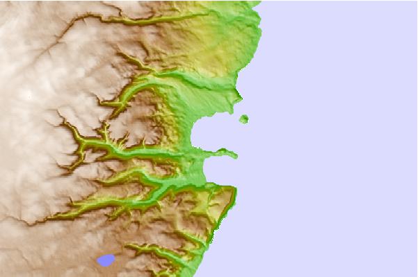
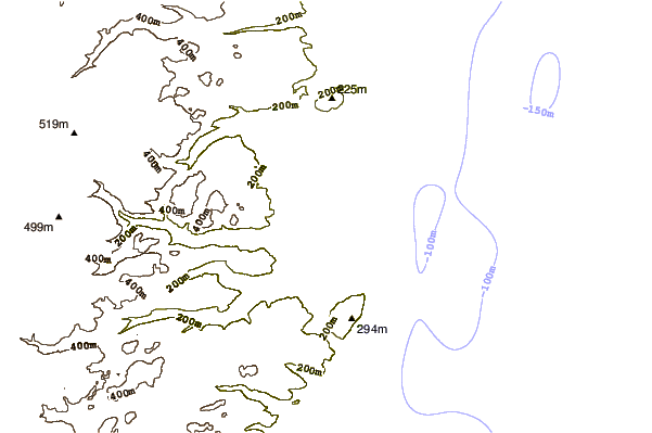
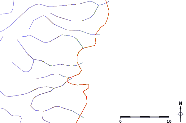
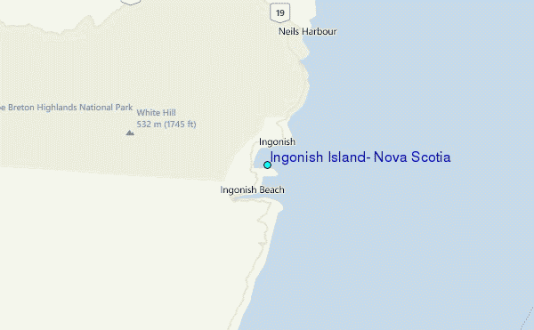
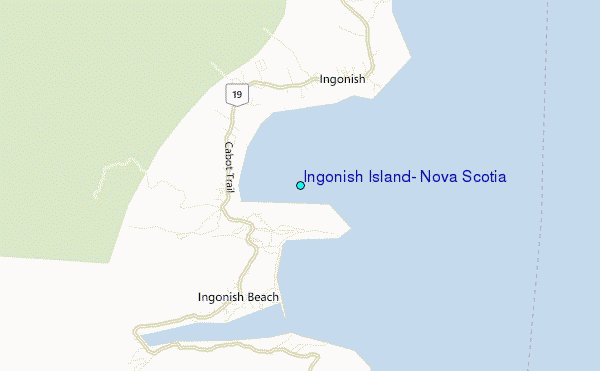
Use this relief map to navigate to tide stations, surf breaks and cities that are in the area of Ingonish Island, Nova Scotia.
Other Nearby Locations' tide tables and tide charts to Ingonish Island, Nova Scotia:
click location name for more details
 Surf breaks close to Ingonish Island, Nova Scotia:
|
||
|---|---|---|
| Closest surf break | Ingonish Beach | 2 mi |
| Second closest surf break | Kennington Cove | 57 mi |
| Third closest surf break | Michaud Point | 77 mi |
| Fourth closest surf break | Martinique | 191 mi |
| Fifth closest surf break | Lawrencetown Left Point | 200 mi |


 Nearest
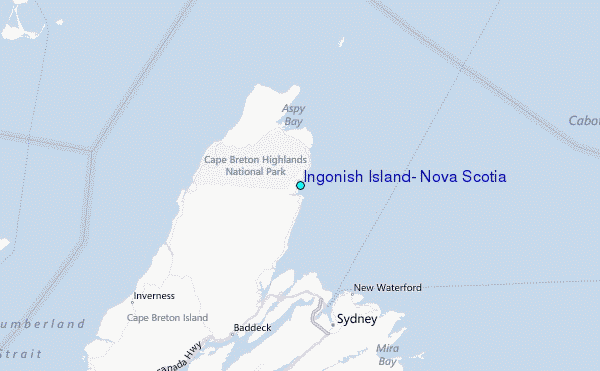