
| Distance / Altitude | Location | Report Date / Time | Live Weather | Wind | Gusts | Temp. | Visibility | Cloud |
|---|---|---|---|---|---|---|---|---|
| 1 km WSW / 217 m | Inukjuak Airport (Quebec) | 2026-05-26 23:00 local (2026/05/27 03:00 GMT) | no report | light winds from the NNE (19 km/h at 20) | 2°C | 36 km | scattered clear - | |
| 183 km NNE / 339 m | Puvirnituq Airport (Quebec) | 2026-05-26 22:00 local (2026/05/27 02:00 GMT) | Clear | light winds from the NE (13 km/h at 50) | 3°C | 14 | ||
| 224 km S / 34 m | Sanikiluaq (Canada) | 2026-05-26 23:00 local (2026/05/27 03:00 GMT) | no report | wind obs. (40 kph from 260 degs) was rejected (- km/h at -) | 4°C | - | - - - | |
| 226 km S / 237 m | Sanikiluaq Airport (N.w. Territories) | 2026-05-26 22:26 local (2026/05/27 02:26 GMT) | Fog - | light winds from the N (15 km/h at 360) | 2°C | 0 | overcast | |
| 307 km E / 171 m | Riviere Aux Feuilles- Que (Canada) | 2026-05-26 22:00 local (2026/05/27 02:00 GMT) | no report | wind obs. (40 kph from 260 degs) was rejected (- km/h at -) | 4°C | - | - | |
| 354 km S / 12 m | Kuujjuarapik Arpt (Canada) | 2026-05-26 23:00 local (2026/05/27 03:00 GMT) | - | calm (4 km/h at 310) | — | - | - no observation - | |
| 355 km S / 164 m | Kuujjuarapik Airport (Quebec) | 2026-05-26 22:00 local (2026/05/27 02:00 GMT) | Light rain | wind obs. (7 kph from 250 degs) was rejected (- km/h at -) | — | 0 | ||
| 404 km NE / 503 m | Parc National Des Pingualuit- Que (Canada) | 2026-05-26 23:00 local (2026/05/27 03:00 GMT) | no report | wind obs. (22 kph from 240 degs) was rejected (- km/h at -) | -1°C | - | - | |
| 537 km S / 195 m | LAGrandeRiviere A- Que (Canada) | 2026-05-26 23:00 local (2026/05/27 03:00 GMT) | no report | light winds from the WNW (19 km/h at 300) | 6°C | 44 km | - overcast - | |
| 539 km S / 217 m | La Grande Rivier Airport (Quebec) | 2026-05-26 22:00 local (2026/05/27 02:00 GMT) | Dry and cloudy | moderate winds from the WNW (22 km/h at 290) | 9°C | 24 | few overcast |
| Contours: | Roads & Rivers: | Select a
tide station / surf break / city |
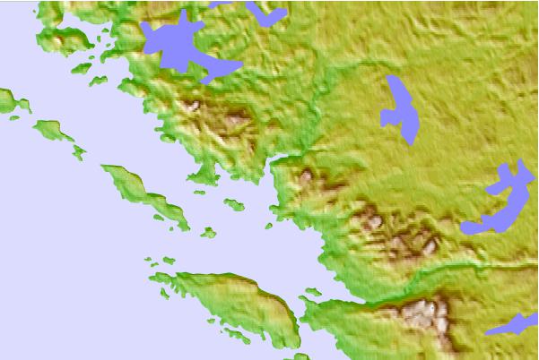
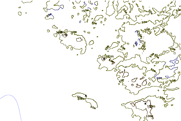
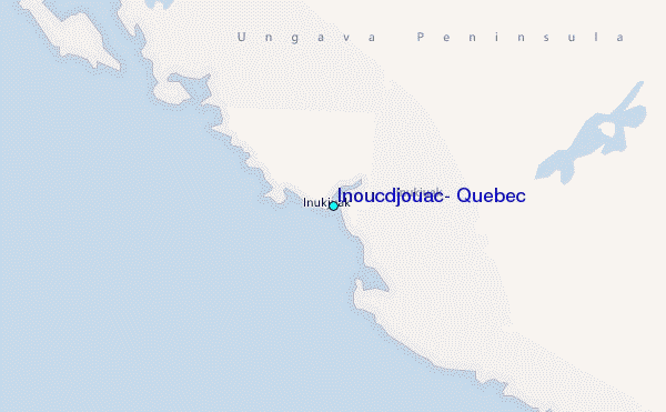
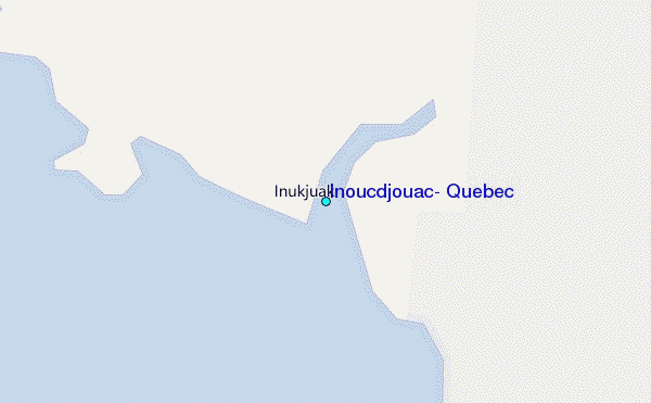
Use this relief map to navigate to tide stations, surf breaks and cities that are in the area of Inoucdjouac, Quebec.
Other Nearby Locations' tide tables and tide charts to Inoucdjouac, Quebec:
click location name for more details
 Surf breaks close to Inoucdjouac, Quebec:
|
||
|---|---|---|
| Closest surf break | Marathon | 755 mi |
| Second closest surf break | Alona Bay | 827 mi |
| Third closest surf break | Keweenaw Peninsula | 866 mi |
| Fourth closest surf break | Au Sable Point | 880 mi |
| Fifth closest surf break | Grand Marias | 880 mi |


 Nearest
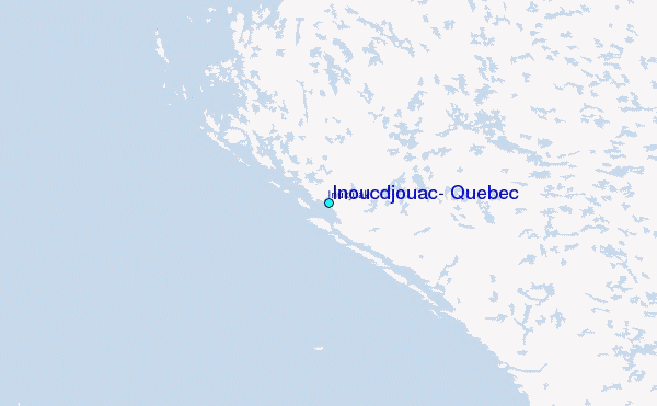