
| Distance / Altitude | Location | Report Date / Time | Live Weather | Wind | Gusts | Temp. | Visibility | Cloud |
|---|---|---|---|---|---|---|---|---|
| 7 km NE / 40 m | Providencia Isla Airport (Columbia) | 2025-12-25 06:00 local (2025/12/25 11:00 GMT) | - | light winds from the N (9 km/h at 1) | — | 0.0 | ||
| 93 km S / 164 m | San Andres Island Airport (Columbia) | 2025-12-25 06:00 local (2025/12/25 11:00 GMT) | - | light winds from the NE (19 km/h at 50) | — | 0.0 | ||
| 122 km ESE / 3 m | SHIP5218 (Marine) | 2025-12-25 06:00 local (2025/12/25 11:00 GMT) | fresh winds from the E (30 km/h at 80) | 25°C | 20.4 | |||
| 406 km N / 3 m | Western Caribbean Buoy (Marine) | 2025-12-25 06:50 local (2025/12/25 11:50 GMT) | strong winds from the NE (40 km/h at 50) | 27°C | - | |||
| 415 km S / 358 m | Limon International Airport (Costa Rica) | 2025-12-25 07:00 local (2025/12/25 12:00 GMT) | Dry and partly cloudy | light winds from the W (7 km/h at 260) | 22°C | 10.0 | few scattered broken | |
| 406 km N / - m | SHIP117 (ocean) | 2025-12-25 06:00 local (2025/12/25 11:00 GMT) | - | fresh winds from the NE (32 km/h at 50) | 27°C | - | no observation | |
| 406 km N / - m | SHIP284 (ocean) | 2025-12-25 06:00 local (2025/12/25 11:00 GMT) | - | fresh winds from the NE (32 km/h at 50) | 27°C | - | no observation | |
| 406 km N / - m | SHIP1367 (ocean) | 2025-12-25 06:00 local (2025/12/25 11:00 GMT) | - | fresh winds from the NE (29 km/h at 50) | 27°C | - | no observation | |
| 406 km N / - m | SHIP625 (ocean) | 2025-12-25 06:00 local (2025/12/25 11:00 GMT) | - | fresh winds from the NE (29 km/h at 50) | 27°C | - | no observation | |
| 406 km N / - m | SHIP1274 (ocean) | 2025-12-25 05:00 local (2025/12/25 10:00 GMT) | - | fresh winds from the NE (32 km/h at 50) | 28°C | - | no observation |
| Contours: | Roads & Rivers: | Select a
tide station / surf break / city |
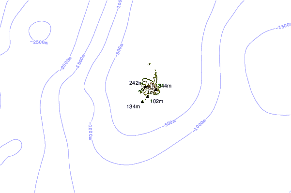

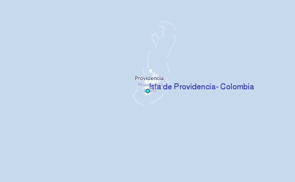
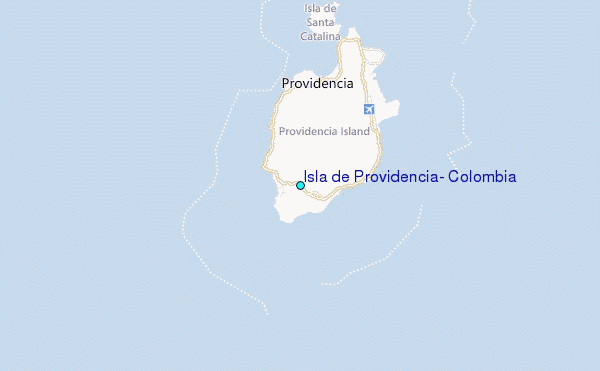
Use this relief map to navigate to tide stations, surf breaks and cities that are in the area of Isla de Providencia, Colombia.
Other Nearby Locations' tide tables and tide charts to Isla de Providencia, Colombia:
click location name for more details
 Surf breaks close to Isla de Providencia, Colombia:
|
||
|---|---|---|
| Closest surf break | Isla Uvita | 255 mi |
| Second closest surf break | Tortuguero | 255 mi |
| Third closest surf break | Playa Bonita | 256 mi |
| Fourth closest surf break | Roca Alta | 256 mi |
| Fifth closest surf break | Portete | 257 mi |


 Nearest
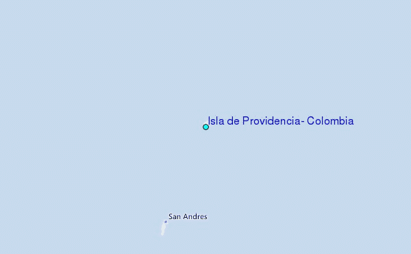