
| Distance / Altitude | Location | Report Date / Time | Live Weather | Wind | Gusts | Temp. | Visibility | Cloud |
|---|---|---|---|---|---|---|---|---|
| 3 km ENE / 52 m | Johnstown (Canada) | 2025-12-25 20:14 local (2025/12/26 00:14 GMT) | - | light winds from the NW (11 km/h at 315) | -2°C | - | - - 0 | |
| 11 km SW / 20 m | Roberta (Canada) | 2025-12-25 20:15 local (2025/12/26 00:15 GMT) | - | calm (5 km/h at 247) | -2°C | - | - - 0 | |
| 13 km NNE / 12 m | Castle Bay (Canada) | 2025-12-25 19:18 local (2025/12/25 23:18 GMT) | - | calm (2 km/h at 299) | -3°C | - | - - 0 | |
| 15 km S / 34 m | Sampsonville wx (Canada) | 2025-12-25 20:08 local (2025/12/26 00:08 GMT) | - | light winds from the NNW (11 km/h at 343) | -3°C | - | - - 0 | |
| 18 km S / 4 m | St. Peters (Canada) | 2025-12-25 19:44 local (2025/12/25 23:44 GMT) | - | light winds from the WNW (10 km/h at 303) | -2°C | - | - - 0 | |
| 19 km NW / 9 m | Port of Iona (Canada) | 2025-12-25 20:15 local (2025/12/26 00:15 GMT) | - | light winds from the WNW (10 km/h at 283) | -3°C | - | - - 0 | |
| 25 km SW / 22 m | Saint Georges Channel (Canada) | 2025-12-25 20:16 local (2025/12/26 00:16 GMT) | dry | - (- km/h at ) | — | - | - - 0 | |
| 26 km NE / 25 m | St Andrews Channel (Canada) | 2025-12-25 20:13 local (2025/12/26 00:13 GMT) | - | calm (0 km/h at 225) | -2°C | - | - - 0 | |
| 31 km ESE / 14 m | Framboise (Canada) | 2025-12-25 19:36 local (2025/12/25 23:36 GMT) | - | calm (3 km/h at 264) | -3°C | - | - - 0 | |
| 32 km NE / 3 m | Ben Eoin Yacht Club (Canada) | 2025-12-25 20:03 local (2025/12/26 00:03 GMT) | - | light winds from the NNW (6 km/h at 330) | -2°C | - | - - 0 |
| Contours: | Roads & Rivers: | Select a
tide station / surf break / city |
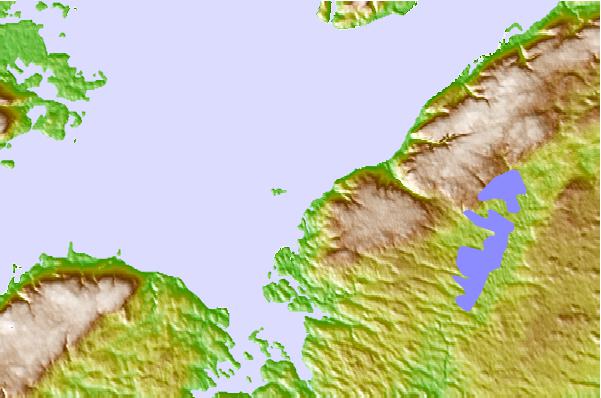
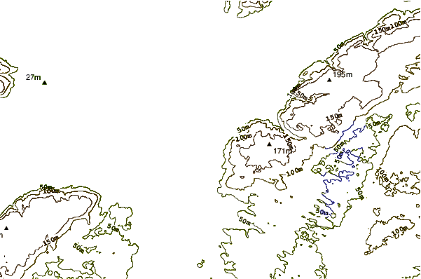
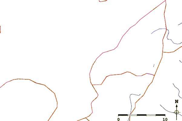
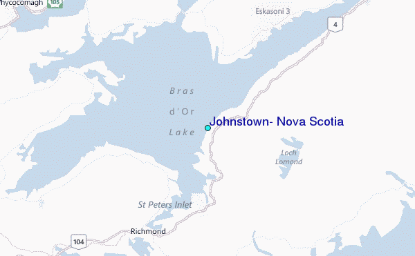
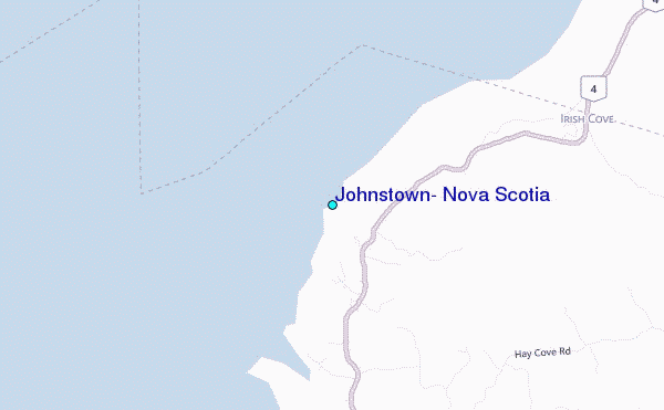
Use this relief map to navigate to tide stations, surf breaks and cities that are in the area of Johnstown, Nova Scotia.
Other Nearby Locations' tide tables and tide charts to Johnstown, Nova Scotia:
click location name for more details
 Surf breaks close to Johnstown, Nova Scotia:
|
||
|---|---|---|
| Closest surf break | Michaud Point | 16 mi |
| Second closest surf break | Kennington Cove | 34 mi |
| Third closest surf break | Ingonish Beach | 60 mi |
| Fourth closest surf break | Martinique | 140 mi |
| Fifth closest surf break | Lawrencetown Left Point | 149 mi |


 Nearest
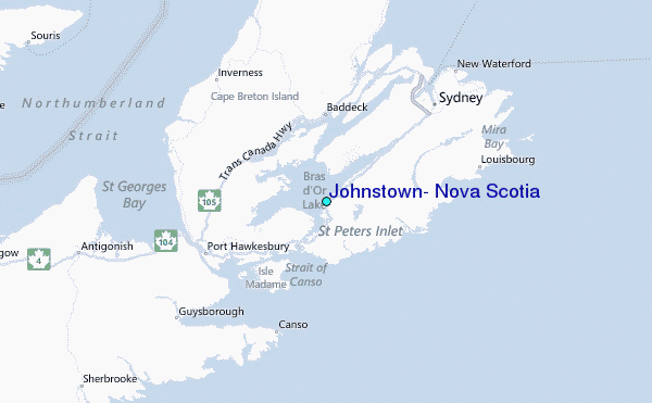