
| Distance / Altitude | Location | Report Date / Time | Live Weather | Wind | Gusts | Temp. | Visibility | Cloud |
|---|---|---|---|---|---|---|---|---|
| 150 km NE / 417 m | Zamboanga Airport (Philippines) | 2026-04-06 11:00 local (2026/04/06 03:00 GMT) | haze | wind obs. (11 kph from 270 degs) was rejected (- km/h at -) | 28°C | 10 | scattered overcast - | |
| 271 km NW / - m | SHIP854 (ocean) | 2026-04-06 12:00 local (2026/04/06 04:00 GMT) | No report | light winds from the NE (13 km/h at 50) | 32°C | 20 km | mostly cloudy | |
| 325 km WSW / 215 m | Sandakan Airport (Malaysia) | 2026-04-06 11:00 local (2026/04/06 03:00 GMT) | Haze | light winds from the NNE (11 km/h at 30) | 31°C | 32 km | few mostly cloudy - | |
| 326 km WSW / 129 m | Sandakan (Malaysia) | 2026-04-06 11:00 local (2026/04/06 03:00 GMT) | Haze | light winds from the NNE (11 km/h at 30) | 31°C | 32 km | mostly cloudy | |
| 367 km W / 15 m | ASCATB118E7N (Marine) | 2026-04-06 09:43 local (2026/04/06 01:43 GMT) | light winds from the ENE (13 km/h at 61) | — | - km | |||
| 376 km ENE / 53 m | Cotabato-Mindanao (Philippines) | 2026-04-06 11:00 local (2026/04/06 03:00 GMT) | distant precipitation but not falling at station | calm (4 km/h at 190) | 27°C | 12 | - - - | |
| 382 km NE / 5 m | Dipolog Mindanao Island (Philippines) | 2026-04-06 11:00 local (2026/04/06 03:00 GMT) | continuous light rain | wind obs. (11 kph from 250 degs) was rejected (- km/h at -) | 26°C | 8 | - - - | |
| 398 km W / 15 m | ASCATB118E8N (Marine) | 2026-04-06 09:43 local (2026/04/06 01:43 GMT) | light winds from the ENE (14 km/h at 65) | — | - km |
| Contours: | Roads & Rivers: | Select a
tide station / surf break / city |
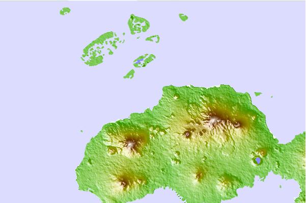
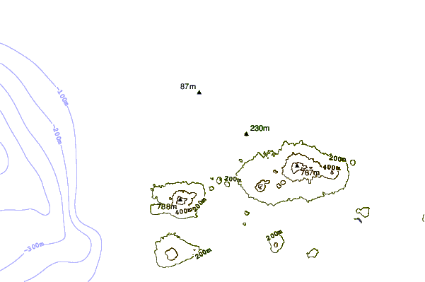
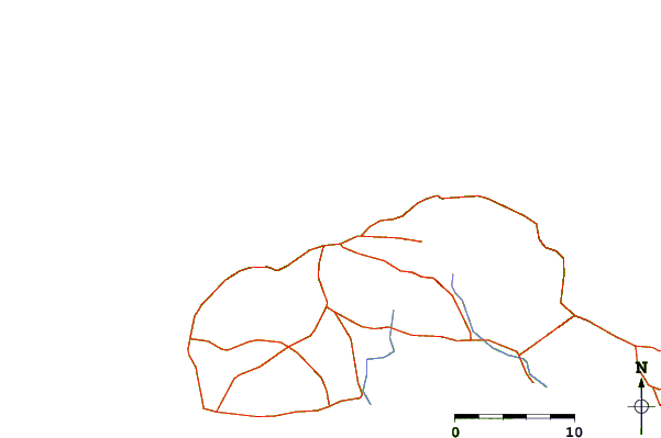
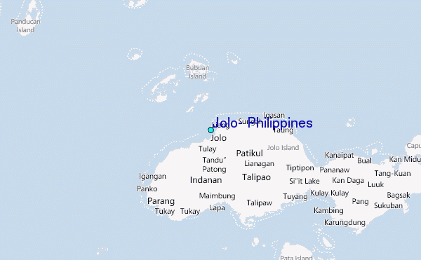
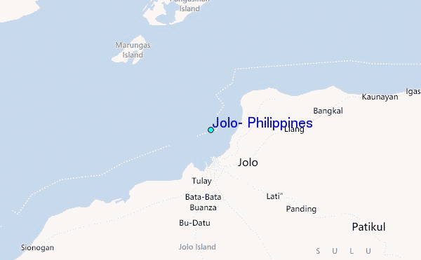
Use this relief map to navigate to tide stations, surf breaks and cities that are in the area of Jolo, Philippines.
Other Nearby Locations' tide tables and tide charts to Jolo, Philippines:
click location name for more details
 Surf breaks close to Jolo, Philippines:
|
||
|---|---|---|
| Closest surf break | Kudat (Pantai Kosuhui) | 300 mi |
| Second closest surf break | Kota Belud | 314 mi |
| Third closest surf break | Shabandar | 332 mi |
| Fourth closest surf break | Nexus | 336 mi |
| Fifth closest surf break | Nexus West End | 337 mi |


 Nearest
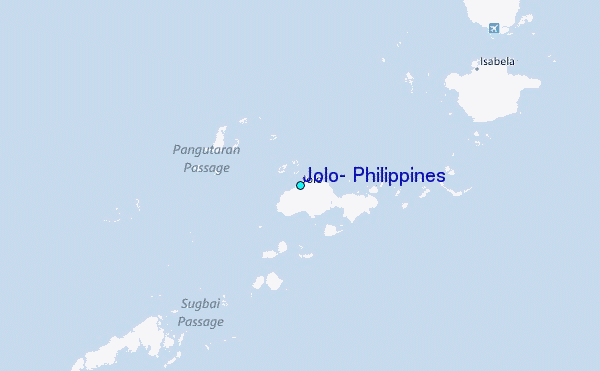