
| Distance / Altitude | Location | Report Date / Time | Live Weather | Wind | Gusts | Temp. | Visibility | Cloud |
|---|---|---|---|---|---|---|---|---|
| 150 km NE / 417 m | Zamboanga Airport (Philippines) | 2026-07-10 05:00 local (2026/07/09 21:00 GMT) | Dry and partly cloudy | light winds from the W (11 km/h at 270) | 28°C | 10.0 | few scattered | |
| 189 km NW / 0 m | lightning 147km NNW of Simbahan (Philippines) | 2026-07-10 05:16 local (2026/07/09 21:16 GMT) | Thunderstorm | (- km/h at -) | — | |||
| 195 km N / 0 m | lightning 129km WNW of Malayal (Philippines) | 2026-07-10 04:47 local (2026/07/09 20:47 GMT) | Thunderstorm | (- km/h at -) | — | |||
| 201 km NNE / 0 m | lightning 74km W of Siocon (Philippines) | 2026-07-10 05:20 local (2026/07/09 21:20 GMT) | Thunderstorm | (- km/h at -) | — | |||
| 215 km WNW / 0 m | lightning 134km NE of Cagayan (Philippines) | 2026-07-10 04:46 local (2026/07/09 20:46 GMT) | Thunderstorm | (- km/h at -) | — | |||
| 286 km NNE / 0 m | lightning 95km WNW of Kalawit (Philippines) | 2026-07-10 04:47 local (2026/07/09 20:47 GMT) | Thunderstorm | (- km/h at -) | — | |||
| 312 km ENE / 0 m | lightning 4km NE of Dimataling (Philippines) | 2026-07-10 03:01 local (2026/07/09 19:01 GMT) | Thunderstorm | (- km/h at -) | — | |||
| 325 km WSW / 215 m | Sandakan Airport (Malaysia) | 2026-07-10 04:00 local (2026/07/09 20:00 GMT) | - | wind obs. (6 kph from 1 degs) was rejected (- km/h at -) | 26°C | 10.0 | few | |
| 350 km ENE / 0 m | lightning 21km SW of Imelda (Philippines) | 2026-07-10 04:18 local (2026/07/09 20:18 GMT) | Thunderstorm | (- km/h at -) | — | |||
| 353 km SSW / 0 m | lightning 58km S of Semporna (Malaysia) | 2026-07-10 04:19 local (2026/07/09 20:19 GMT) | Thunderstorm | (- km/h at -) | — |
| Contours: | Roads & Rivers: | Select a
tide station / surf break / city |
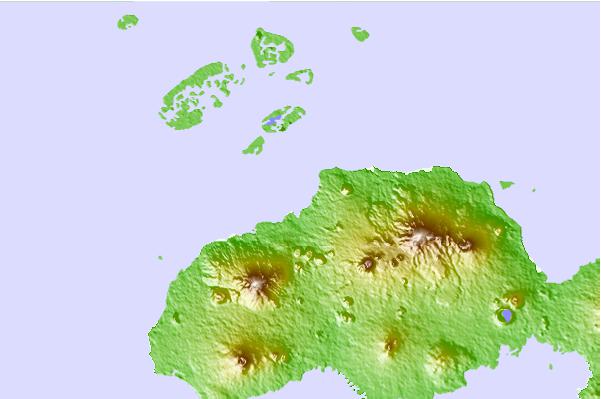
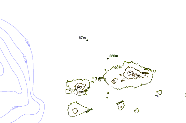
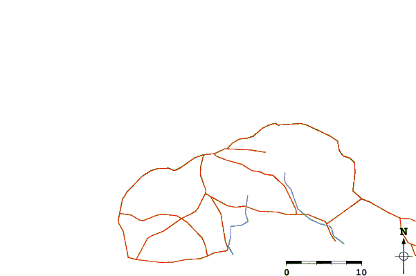
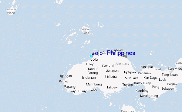
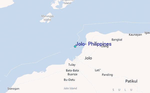
Use this relief map to navigate to tide stations, surf breaks and cities that are in the area of Jolo, Philippines.
Other Nearby Locations' tide tables and tide charts to Jolo, Philippines:
click location name for more details
 Surf breaks close to Jolo, Philippines:
|
||
|---|---|---|
| Closest surf break | Kudat (Pantai Kosuhui) | 300 mi |
| Second closest surf break | Kota Belud | 314 mi |
| Third closest surf break | Shabandar | 332 mi |
| Fourth closest surf break | Nexus | 336 mi |
| Fifth closest surf break | Nexus West End | 337 mi |


 Nearest
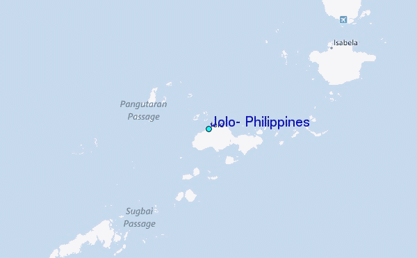