
| Distance / Altitude | Location | Report Date / Time | Live Weather | Wind | Gusts | Temp. | Visibility | Cloud |
|---|---|---|---|---|---|---|---|---|
| 17 km E / 3 m | South Iwate (buoy) (Marine) | 2025-12-25 17:02 local (2025/12/25 08:02 GMT) | - (- km/h at -) | — | - | |||
| 28 km SSW / 37 m | Ofunato (Japan) | 2025-12-25 17:00 local (2025/12/25 08:00 GMT) | Continuous light rain | light winds from the NNW (15 km/h at 330) | 7°C | 34 km | no observation | |
| 43 km N / 47 m | Miyako (Japan) | 2025-12-25 17:00 local (2025/12/25 08:00 GMT) | Continuous light rain | calm (4 km/h at 20) | 5°C | 40 km | no observation | |
| 45 km S / 3 m | North Miyagi (buoy) (Marine) | 2025-12-25 17:02 local (2025/12/25 08:02 GMT) | - (- km/h at -) | — | - | |||
| 47 km NNE / 3 m | Central Iwate (buoy) (Marine) | 2025-12-25 17:02 local (2025/12/25 08:02 GMT) | - (- km/h at -) | — | - | |||
| 70 km W / 357 m | Hanamaki Airport (Japan) | 2025-12-25 16:00 local (2025/12/25 07:00 GMT) | Light rain | light winds from the N (11 km/h at 360) | 5°C | 7.0 | few broken broken | |
| 80 km WNW / 241 m | Morioka (Japan) | 2025-12-25 17:00 local (2025/12/25 08:00 GMT) | Continuous light rain | light winds from the NNE (11 km/h at 20) | 3°C | 38 km | no observation | |
| 95 km N / 3 m | North Iwate (buoy) (Marine) | 2025-12-25 17:02 local (2025/12/25 08:02 GMT) | - (- km/h at -) | — | - | |||
| 106 km S / 45 m | Ishinomaki Point (Japan) | 2025-12-25 17:00 local (2025/12/25 08:00 GMT) | Continuous light rain | moderate winds from the NNW (20 km/h at 330) | 6°C | 5.0 km | no observation | |
| 116 km S / 3 m | Central Miyagi (buoy) (Marine) | 2025-12-25 17:02 local (2025/12/25 08:02 GMT) | - (- km/h at -) | — | - |
| Contours: | Roads & Rivers: | Select a
tide station / surf break / city |
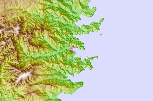
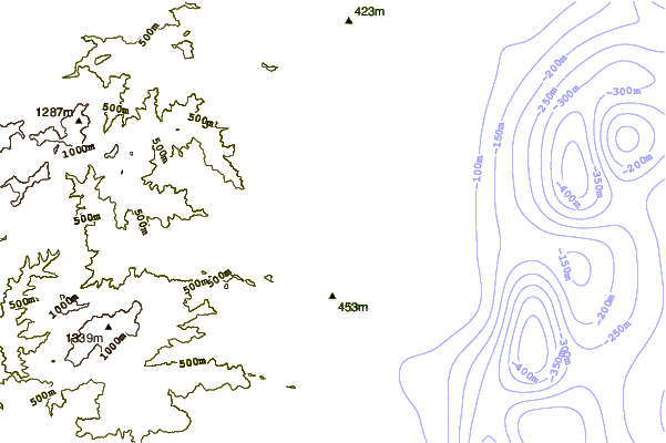
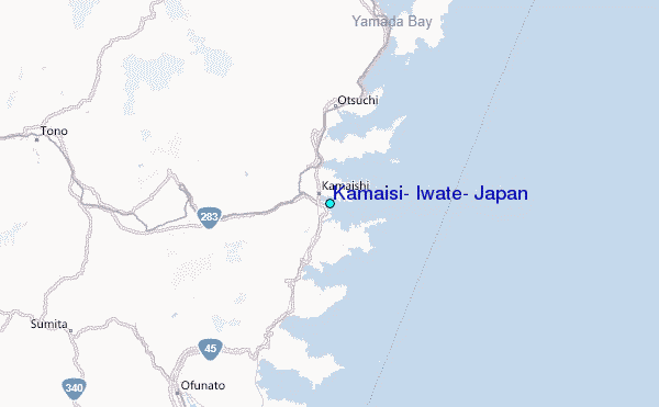
Use this relief map to navigate to tide stations, surf breaks and cities that are in the area of Kamaisi, Iwate, Japan.
Other Nearby Locations' tide tables and tide charts to Kamaisi, Iwate, Japan:
click location name for more details
 Surf breaks close to Kamaisi, Iwate, Japan:
|
||
|---|---|---|
| Closest surf break | Choshi | 253 mi |
| Second closest surf break | Katagai | 270 mi |
| Third closest surf break | Torami | 281 mi |
| Fourth closest surf break | Tsurigasaki Surfing Beach (Tokyo 2020) | 284 mi |
| Fifth closest surf break | Shida | 285 mi |


 Nearest
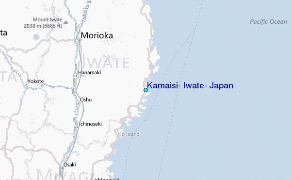