
| Distance / Altitude | Location | Report Date / Time | Live Weather | Wind | Gusts | Temp. | Visibility | Cloud |
|---|---|---|---|---|---|---|---|---|
| 48 km ESE / 3 m | Shelikof Strait- AK (Marine) | 2026-06-23 21:10 local (2026/06/24 05:10 GMT) | moderate winds from the NNE (25 km/h at 20) | 9°C | - | |||
| 64 km NE / 3 m | BUOY-DCXA2 (Marine) | 2026-06-23 21:32 local (2026/06/24 05:32 GMT) | light winds from the ENE (8 km/h at 60) | 10°C | - | |||
| 124 km WNW / 211 m | King Salmon Airport (Alaska) | 2026-06-23 19:54 local (2026/06/24 03:54 GMT) | Light rain | light winds from the WNW (7 km/h at 290) | 16°C | 16 | broken broken | |
| 128 km SSE / 14 m | Akhiok (Alaska) | 2026-06-23 19:56 local (2026/06/24 03:56 GMT) | Dry and cloudy | light winds from the S (11 km/h at 190) | 11°C | 16 | overcast | |
| 130 km SSE / 3 m | BUOY-ALIA2 (Marine) | 2026-06-23 21:00 local (2026/06/24 05:00 GMT) | calm (5 km/h at 180) | 10°C | - | |||
| 141 km WNW / 49 m | South Naknek (AK) (Alaska) | 2026-06-23 19:56 local (2026/06/24 03:56 GMT) | Dry and partly cloudy | moderate winds from the W (22 km/h at 260) | 14°C | 16 | scattered | |
| 143 km WSW / 216 m | Egegik Airport (Alaska) | 2026-06-23 19:56 local (2026/06/24 03:56 GMT) | Dry and cloudy | light winds from the WNW (11 km/h at 300) | 13°C | 16 | overcast | |
| 149 km E / 3 m | BUOY-WBXA2 (Marine) | 2026-06-23 21:32 local (2026/06/24 05:32 GMT) | light winds from the NE (8 km/h at 50) | 8°C | - | |||
| 149 km E / 3 m | BUOY-WFXA2 (Marine) | 2026-06-23 21:32 local (2026/06/24 05:32 GMT) | light winds from the NE (9 km/h at 50) | 8°C | - | |||
| 150 km E / 217 m | Kodiak Airport (Alaska) | 2026-06-23 20:43 local (2026/06/24 04:43 GMT) | Mist - | light winds from the ENE (11 km/h at 70) | 8°C | 8 | overcast |
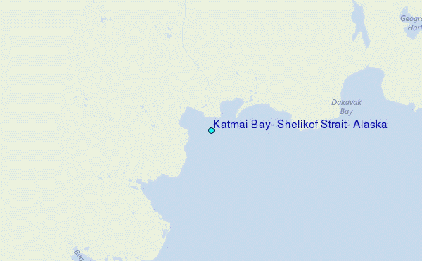
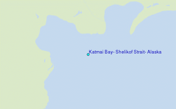
Choose Katmai Bay, Shelikof Strait, Alaska Location Map Zoom:
| Contours: | Roads & Rivers: | Select a
tide station / surf break / city |
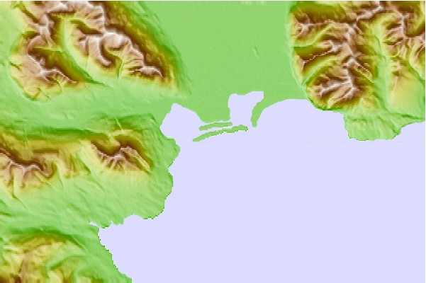
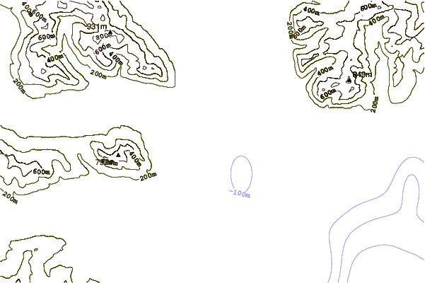
Use this relief map to navigate to tide stations, surf breaks and cities that are in the area of Katmai Bay, Shelikof Strait, Alaska.
Other Nearby Locations' tide tables and tide charts to Katmai Bay, Shelikof Strait, Alaska:
click location name for more details
 Surf breaks close to Katmai Bay, Shelikof Strait, Alaska:
|
||
|---|---|---|
| Closest surf break | Monashka Bay | 94 mi |
| Second closest surf break | Termination Point | 95 mi |
| Third closest surf break | Mill Bay | 98 mi |
| Fourth closest surf break | Fossil Beach Kodiak | 105 mi |
| Fifth closest surf break | Bird Point (Tidal Bore) | 226 mi |


 Nearest
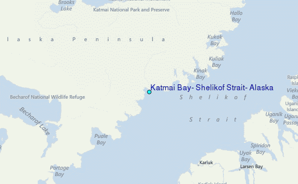