
| Distance / Altitude | Location | Report Date / Time | Live Weather | Wind | Gusts | Temp. | Visibility | Cloud |
|---|---|---|---|---|---|---|---|---|
| 37 km NW / 1 m | Herschel Island- YT (Canada) | 2026-04-11 17:00 local (2026/04/11 23:00 GMT) | no report | calm (4 km/h at 360) | — | - | - - - | |
| 69 km WSW / 244 m | Ivvavik Nat. Park- YT (Canada) | 2026-04-11 17:00 local (2026/04/11 23:00 GMT) | - | light winds from the NNE (18 km/h at 20) | — | - | - | |
| 78 km W / 13 m | Komakuk Beach- YT (Canada) | 2026-04-11 15:00 local (2026/04/11 21:00 GMT) | - | wind obs. (7 kph from 280 degs) was rejected (- km/h at -) | — | - | - - - | |
| 110 km SW / 568 m | Margaret Lake- YT (Canada) | 2026-04-11 17:00 local (2026/04/11 23:00 GMT) | - | calm (0 km/h at 150) | — | - | - - - | |
| 123 km ENE / 17 m | Pelly Island- Nwt (Canada) | 2026-04-11 17:00 local (2026/04/11 23:00 GMT) | - | wind obs. (11 kph from 290 degs) was rejected (- km/h at -) | — | - | - | |
| 183 km SE / 223 m | Aklavik Airport (N.w. Territories) | 2026-04-11 16:19 local (2026/04/11 22:19 GMT) | Dry and cloudy | light winds from the NE.(Wind varies from 350 to 050 degs) (11 km/h at 40) | -1°C | 24 | broken broken overcast | |
| 184 km ESE / 261 m | Storm Hills Airport (Canada) | 2026-04-11 17:00 local (2026/04/11 23:00 GMT) | no report | - (- km/h at -) | — | - | - | |
| 200 km S / 251 m | OldCrowRcs- YT (Canada) | 2026-04-11 15:00 local (2026/04/11 21:00 GMT) | - | wind obs. (14 kph from 80 degs) was rejected (- km/h at -) | — | - | - no observation - | |
| 206 km ESE / 197 m | Trail Valley Airport (N.w. Territories) | 2026-04-11 16:00 local (2026/04/11 22:00 GMT) | - | calm (0 km/h at 0) | -2°C | 0.0 | ||
| 207 km ESE / 85 m | Trail Valley (Canada) | 2026-04-11 17:00 local (2026/04/11 23:00 GMT) | - | calm (4 km/h at 340) | — | - | - - - |
| Contours: | Roads & Rivers: | Select a
tide station / surf break / city |
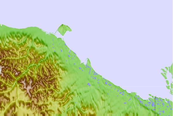
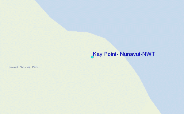
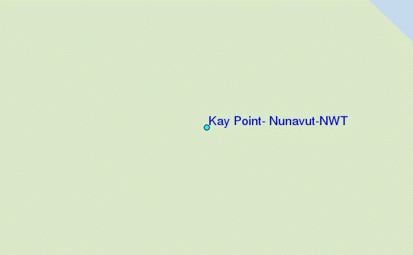
Use this relief map to navigate to tide stations, surf breaks and cities that are in the area of Kay Point, Nunavut/NWT.
Other Nearby Locations' tide tables and tide charts to Kay Point, Nunavut/NWT:
click location name for more details
 Surf breaks close to Kay Point, Nunavut/NWT:
|
||
|---|---|---|
| Closest surf break | Graveyards | 674 mi |
| Second closest surf break | Ocean Cape | 675 mi |
| Third closest surf break | Cannon Beach | 677 mi |
| Fourth closest surf break | Bird Point (Tidal Bore) | 700 mi |
| Fifth closest surf break | Termination Point | 894 mi |


 Nearest