
| Distance / Altitude | Location | Report Date / Time | Live Weather | Wind | Gusts | Temp. | Visibility | Cloud |
|---|---|---|---|---|---|---|---|---|
| 11 km WNW / 212 m | Cape Town International Airport (South Africa) | 2026-06-23 03:00 local (2026/06/23 01:00 GMT) | no report | light winds from the SW (6 km/h at 230) | 15°C | 10.0 | scattered broken - | |
| 13 km E / 124 m | Somerset West (Zambia) | 2026-06-23 03:04 local (2026/06/23 01:04 GMT) | dry | light winds from the NNE (16 km/h at 27) | 13°C | - | - - 0 | |
| 19 km WNW / 22 m | Thornton wx (South Africa) | 2026-06-23 03:42 local (2026/06/23 01:42 GMT) | dry | calm (2 km/h at 77) | 13°C | - | - - 0 | |
| 20 km WSW / 55 m | Meadowridge wx (South Africa) | 2026-06-23 03:12 local (2026/06/23 01:12 GMT) | - | calm (0 km/h at 0) | 17°C | - | - - 0 | |
| 21 km NW / 29 m | Plattekloof Glen wx (South Africa) | 2026-06-23 03:20 local (2026/06/23 01:20 GMT) | dry | wind obs. (6 kph from 23 degs) was rejected (- km/h at -) | 13°C | - | - - 0 | |
| 22 km W / 70 m | Cape Town (Zambia) | 2026-06-23 03:01 local (2026/06/23 01:01 GMT) | dry | light winds from the N (10 km/h at 0) | 13°C | - | - - 0 | |
| 23 km WNW / 19 m | Observatory wx (South Africa) | 2026-06-23 03:32 local (2026/06/23 01:32 GMT) | dry | light winds from the N (13 km/h at 359) | 13°C | - | - - 0 | |
| 24 km WSW / 624 m | Shoebury Heights wx (South Africa) | 2026-06-23 03:36 local (2026/06/23 01:36 GMT) | dry | wind obs. (8 kph from 63 degs) was rejected (- km/h at -) | 13°C | - | - - 0 | |
| 25 km WNW / 2 m | Cape Town - Portnet (South Africa) | 2026-06-23 03:00 local (2026/06/23 01:00 GMT) | no report | wind obs. (6 kph from 30 degs) was rejected (- km/h at -) | 14°C | - | - | |
| 27 km W / 97 m | Molteno Reservior (South Africa) | 2026-06-23 03:00 local (2026/06/23 01:00 GMT) | no report | - (- km/h at -) | 17°C | - | - - - |
| Contours: | Roads & Rivers: | Select a
tide station / surf break / city |
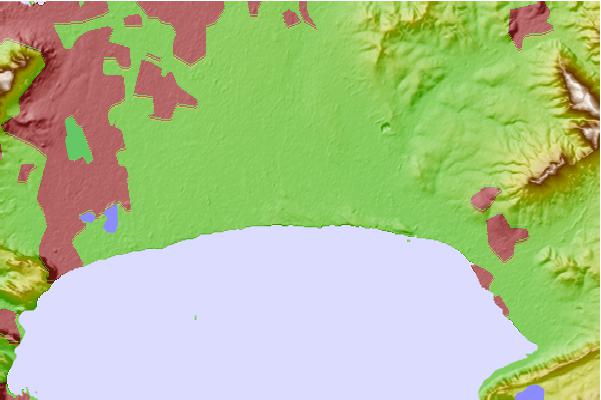
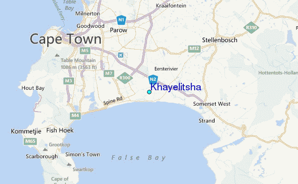
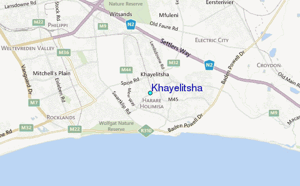
Use this relief map to navigate to tide stations, surf breaks and cities that are in the area of Khayelitsha.
Other Nearby Locations' tide tables and tide charts to Khayelitsha:
click location name for more details
 Surf breaks close to Khayelitsha:
|
||
|---|---|---|
| Closest surf break | Nine Mile Reef | 1 mi |
| Second closest surf break | Cemetery | 7 mi |
| Third closest surf break | Monwabisi Strand | 7 mi |
| Fourth closest surf break | Strand (Pipe) | 11 mi |
| Fifth closest surf break | Muizenberg | 12 mi |


 Nearest
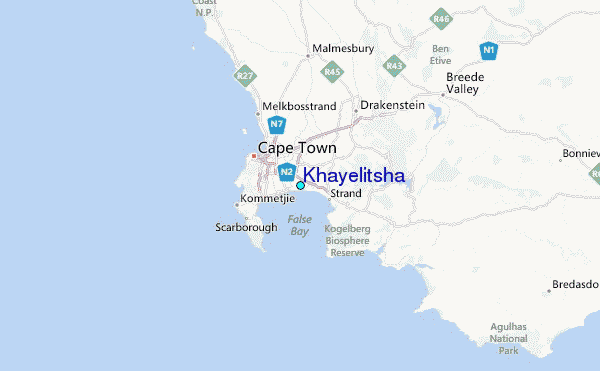