
| Distance / Altitude | Location | Report Date / Time | Live Weather | Wind | Gusts | Temp. | Visibility | Cloud |
|---|---|---|---|---|---|---|---|---|
| 2 km WNW / 27 m | Ko Sichang Island (Thailand) | 2025-12-26 19:00 local (2025/12/26 12:00 GMT) | no report | wind obs. (13 kph from 210 degs) was rejected (- km/h at -) | 31°C | - | - no observation - | |
| 10 km SE / 82 m | Laem Chabang (Thailand) | 2025-12-26 19:00 local (2025/12/26 12:00 GMT) | no report | light winds from the SW (11 km/h at 220) | 33°C | 10 | - few - | |
| 11 km E / 5 m | Ban Fang Daeng wx (Thailand) | 2025-12-26 19:12 local (2025/12/26 12:12 GMT) | - | calm (0 km/h at 0) | 34°C | - | - - 0 | |
| 12 km E / 38 m | Ban Noen Uma wx (Thailand) | 2025-12-26 19:27 local (2025/12/26 12:27 GMT) | - | calm (0 km/h at 0) | 32°C | - | - - 0 | |
| 21 km SSW / 3 m | SHIP7975 (Marine) | 2025-12-26 18:00 local (2025/12/26 11:00 GMT) | - (- km/h at -) | 29°C | - | |||
| 21 km SSW / 15 m | SHIP2726 (Marine) | 2025-12-26 18:00 local (2025/12/26 11:00 GMT) | - (- km/h at -) | — | - km | |||
| 21 km SSW / 15 m | SHIP3753 (Marine) | 2025-12-26 18:00 local (2025/12/26 11:00 GMT) | - (- km/h at -) | — | - km | |||
| 26 km NE / 48 m | Ban Suan Maphrao wx (Thailand) | 2025-12-26 19:13 local (2025/12/26 12:13 GMT) | - | calm (0 km/h at 0) | 31°C | - | - - 0 | |
| 27 km S / 61 m | Phatthaya (Thailand) | 2025-12-26 19:00 local (2025/12/26 12:00 GMT) | no report | light winds from the WSW (9 km/h at 240) | 33°C | - | - | |
| 29 km NE / 218 m | Chon Buri/Sattahip Airport (Thailand) | 2025-12-26 18:30 local (2025/12/26 11:30 GMT) | - | light winds from the NE (13 km/h at 40) | 29°C | 10.0 | few |
| Contours: | Roads & Rivers: | Select a
tide station / surf break / city |
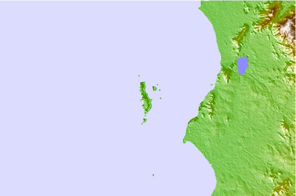
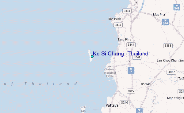
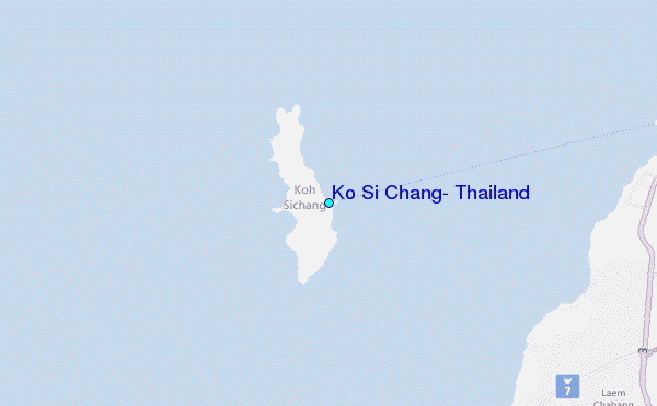
Use this relief map to navigate to tide stations, surf breaks and cities that are in the area of Ko Si Chang, Thailand.
Other Nearby Locations' tide tables and tide charts to Ko Si Chang, Thailand:
click location name for more details
 Surf breaks close to Ko Si Chang, Thailand:
|
||
|---|---|---|
| Closest surf break | Rayong Mae Ramphung Beach | 56 mi |
| Second closest surf break | Ko Samet - Sai Kaew | 60 mi |
| Third closest surf break | Hinsuay Namsay | 62 mi |
| Fourth closest surf break | Mae Phim Beach (Rayong) | 65 mi |
| Fifth closest surf break | Aho Kahi Harbor Entrance | 66 mi |


 Nearest
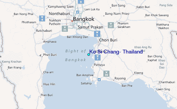