
| Distance / Altitude | Location | Report Date / Time | Live Weather | Wind | Gusts | Temp. | Visibility | Cloud |
|---|---|---|---|---|---|---|---|---|
| 48 km S / 123 m | Kuujjuaq-Ua-Que (Canada) | 2026-05-26 23:00 local (2026/05/27 03:00 GMT) | Rain | light winds from the NNW (13 km/h at 340) | 5°C | 44 km | - overcast - | |
| 50 km S / 216 m | Kuujjuaq Airport (Quebec) | 2026-05-26 22:07 local (2026/05/27 02:07 GMT) | Light rain | light winds from the NNW (13 km/h at 340) | 7°C | 24 | overcast | |
| 289 km SW / 171 m | Riviere Aux Feuilles- Que (Canada) | 2026-05-26 23:00 local (2026/05/27 03:00 GMT) | no report | wind obs. (40 kph from 260 degs) was rejected (- km/h at -) | 4°C | - | - | |
| 329 km E / 82 m | Saglek Airport (Canada) | 2026-05-26 23:00 local (2026/05/27 03:00 GMT) | - | calm (4 km/h at 230) | 7°C | - | no observation | |
| 330 km E / 207 m | Saglek (bay) Airport (Newfoundland) | 2026-05-26 22:00 local (2026/05/27 02:00 GMT) | - | wind obs. (7 kph from 140 degs) was rejected (- km/h at -) | 8°C | 0 | ||
| 424 km SSE / 521 m | Schefferville A- QC (Canada) | 2026-05-26 23:00 local (2026/05/27 03:00 GMT) | no report | light winds from the WNW (18 km/h at 300) | 10°C | - | - - - | |
| 426 km SSE / 713 m | Schefferville Airport (Quebec) | 2026-05-26 22:40 local (2026/05/27 02:40 GMT) | Dry and cloudy | light winds from the SSE (11 km/h at 150) | 6°C | 14 | broken broken overcast | |
| 435 km WNW / 503 m | Parc National Des Pingualuit- Que (Canada) | 2026-05-26 23:00 local (2026/05/27 03:00 GMT) | no report | wind obs. (22 kph from 240 degs) was rejected (- km/h at -) | -1°C | - | - | |
| 448 km ESE / 12 m | Nain- Nfld (Canada) | 2026-05-26 23:00 local (2026/05/27 03:00 GMT) | - | - (- km/h at -) | — | - | - - - | |
| 543 km W / 339 m | Puvirnituq Airport (Quebec) | 2026-05-26 22:00 local (2026/05/27 02:00 GMT) | Clear | light winds from the NE (13 km/h at 50) | 3°C | 14 |
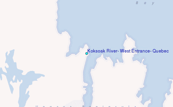
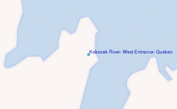
Choose Koksoak River, West Entrance, Quebec Location Map Zoom:
| Contours: | Roads & Rivers: | Select a
tide station / surf break / city |
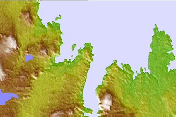
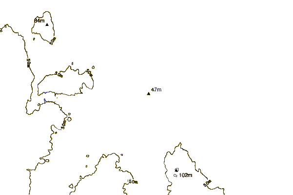
Use this relief map to navigate to tide stations, surf breaks and cities that are in the area of Koksoak River, West Entrance, Quebec.
Other Nearby Locations' tide tables and tide charts to Koksoak River, West Entrance, Quebec:
click location name for more details
 Surf breaks close to Koksoak River, West Entrance, Quebec:
|
||
|---|---|---|
| Closest surf break | Ingonish Beach | 884 mi |
| Second closest surf break | Kennington Cove | 939 mi |
| Third closest surf break | Michaud Point | 950 mi |
| Fourth closest surf break | Martinique | 981 mi |
| Fifth closest surf break | Lawrencetown Reef | 982 mi |


 Nearest
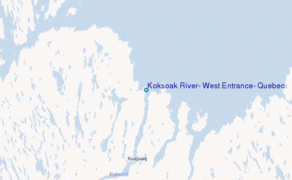