
| Distance / Altitude | Location | Report Date / Time | Live Weather | Wind | Gusts | Temp. | Visibility | Cloud |
|---|---|---|---|---|---|---|---|---|
| 113 km NE / 217 m | Pond Inlet Airport (N.w. Territories) | 2026-02-13 03:31 local (2026/02/13 08:31 GMT) | Dry and cloudy | fresh winds from the WNW (31 km/h at 290) | -28°C | 0.0 | overcast | |
| 116 km NE / 62 m | PondInletA- NU (Canada) | 2026-02-13 04:00 local (2026/02/13 09:00 GMT) | - | fresh winds from the WNW (37 km/h at 290) | — | 1.2 km | - no observation - | |
| 173 km WNW / 10 m | ArcticBayCs- NU (Canada) | 2026-02-13 04:00 local (2026/02/13 09:00 GMT) | - | moderate winds from the S (22 km/h at 170) | -29°C | - | no observation | |
| 174 km WNW / 2 m | Arctic Bay Airport (N.w. Territories) | 2026-02-13 03:00 local (2026/02/13 08:00 GMT) | - | moderate winds from the S (24 km/h at 170) | -27°C | 0.0 | ||
| 371 km S / 5 m | Hall Beach (Canada) | 2026-02-13 04:00 local (2026/02/13 09:00 GMT) | - | light winds from the WSW (13 km/h at 250) | -37°C | 36 km | - clear - | |
| 372 km S / 210 m | Hall Beach Airport (N.w. Territories) | 2026-02-13 03:00 local (2026/02/13 08:00 GMT) | Dry and partly cloudy | light winds from the W (13 km/h at 270) | -36°C | 14 | broken | |
| 474 km ESE / 62 m | Cylde Airport (Canada) | 2026-02-13 04:00 local (2026/02/13 09:00 GMT) | - | wind obs. (20 kph from 250 degs) was rejected (- km/h at -) | — | 36 km | - overcast - | |
| 475 km ESE / 217 m | Cylde Airport (N.w. Territories) | 2026-02-13 03:00 local (2026/02/13 08:00 GMT) | Dry and cloudy | moderate winds from the WSW (28 km/h at 240) | -15°C | 14 | overcast | |
| 487 km N / 44 m | Grise Fiord Climate- NU (Canada) | 2026-02-13 04:00 local (2026/02/13 09:00 GMT) | - | wind obs. (17 kph from 130 degs) was rejected (- km/h at -) | — | - | - no observation - | |
| 521 km SSW / 17 m | Kugaaruk Climate (Canada) | 2026-02-13 04:00 local (2026/02/13 09:00 GMT) | - | light winds from the WSW (17 km/h at 240) | -32°C | - | no observation |
| Contours: | Roads & Rivers: | Select a
tide station / surf break / city |
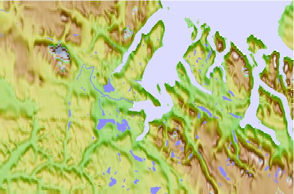
Use this relief map to navigate to tide stations, surf breaks and cities that are in the area of Koluktoo Bay, Nunavut.
Other Nearby Locations' tide tables and tide charts to Koluktoo Bay, Nunavut:
click location name for more details
 Surf breaks close to Koluktoo Bay, Nunavut:
|
||
|---|---|---|
| Closest surf break | Garur | 1528 mi |
| Second closest surf break | Hafnir | 1536 mi |
| Third closest surf break | Grotta | 1538 mi |
| Fourth closest surf break | Eyvik | 1542 mi |
| Fifth closest surf break | Sandvik | 1543 mi |


 Nearest