
| Distance / Altitude | Location | Report Date / Time | Live Weather | Wind | Gusts | Temp. | Visibility | Cloud |
|---|---|---|---|---|---|---|---|---|
| 49 km NE / 416 m | Amami Airport (Japan) | 2026-05-25 00:00 local (2026/05/24 15:00 GMT) | Dry and partly cloudy | calm (2 km/h at 270) | 23°C | 6.0 | no significant cloud | |
| 62 km ENE / 6 m | Kikai Island Airport (Japan) | 2026-05-25 00:00 local (2026/05/24 15:00 GMT) | Dry and partly cloudy | calm (4 km/h at 1) | 23°C | 9.0 | no cloud broken broken | |
| 69 km SE / 15 m | SHIP5846 (Marine) | 2026-05-25 00:00 local (2026/05/24 15:00 GMT) | calm (5.4 km/h at 80) | 24°C | 3.2 km | |||
| 103 km SSW / 29 m | Okinoerabu/okier (Japan) | 2026-05-25 00:00 local (2026/05/24 15:00 GMT) | Mist - | calm (2 km/h at 1) | 24°C | 5.0 | overcast | |
| 152 km SSW / 16 m | Yoron Island Airport (Japan) | 2026-05-25 00:00 local (2026/05/24 15:00 GMT) | Dry and partly cloudy | light winds from the SSE (7 km/h at 150) | 24°C | 9.0 | no significant cloud | |
| 69 km SE / 3 m | SHIP4126 (Marine) | 2026-05-25 00:00 local (2026/05/24 15:00 GMT) | calm (5 km/h at 80) | 23°C | 3.7 | |||
| 69 km SE / 15 m | SHIP4353 (Marine) | 2026-05-25 00:00 local (2026/05/24 15:00 GMT) | calm (5.4 km/h at 80) | 24°C | 3.2 km | |||
| 101 km WSW / 15 m | SHIP4286 (Marine) | 2026-05-25 00:00 local (2026/05/24 15:00 GMT) | moderate winds from the ESE (22.32 km/h at 110) | 24°C | 8.1 km | |||
| 101 km WSW / 3 m | SHIP4132 (Marine) | 2026-05-25 00:00 local (2026/05/24 15:00 GMT) | moderate winds from the ESE (22 km/h at 110) | 21°C | 9.3 | |||
| 101 km WSW / 3 m | SHIP5789 (Marine) | 2026-05-25 00:00 local (2026/05/24 15:00 GMT) | moderate winds from the ESE (22 km/h at 110) | 21°C | 9.3 |
| Contours: | Roads & Rivers: | Select a
tide station / surf break / city |
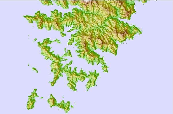
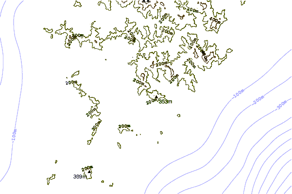
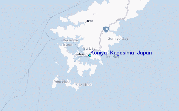
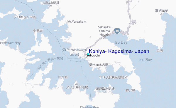
Use this relief map to navigate to tide stations, surf breaks and cities that are in the area of Koniya, Kagosima, Japan.
Other Nearby Locations' tide tables and tide charts to Koniya, Kagosima, Japan:
click location name for more details
 Surf breaks close to Koniya, Kagosima, Japan:
|
||
|---|---|---|
| Closest surf break | Ko-Chan (Hedo Point) | 110 mi |
| Second closest surf break | Oku | 110 mi |
| Third closest surf break | Rocky Point | 111 mi |
| Fourth closest surf break | Ada | 116 mi |
| Fifth closest surf break | Aha Rivermouth | 117 mi |


 Nearest
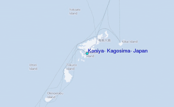