
| Distance / Altitude | Location | Report Date / Time | Live Weather | Wind | Gusts | Temp. | Visibility | Cloud |
|---|---|---|---|---|---|---|---|---|
| 4 km ENE / 17 m | Yonaguni Airport (Japan) | 2025-12-26 05:00 local (2025/12/25 20:00 GMT) | Light rain | near gales from the NNE (52 km/h at 20) | 18°C | 8.0 | few broken overcast | |
| 8 km ENE / 36 m | Yonagunijima Island (Japan) | 2025-12-26 06:00 local (2025/12/25 21:00 GMT) | Rain and snow or hail | strong winds from the NNE (41 km/h at 20) | 17°C | 40 km | - no observation - | |
| 84 km E / 11 m | Iriomotejima (Japan) | 2025-12-26 06:00 local (2025/12/25 21:00 GMT) | Clear skies | light winds from the NNE (17 km/h at 30) | 17°C | 39 km | no observation | |
| 126 km E / 15 m | Ishigakijima (Japan) | 2025-12-26 05:00 local (2025/12/25 20:00 GMT) | Dry and cloudy | fresh winds from the N (37 km/h at 10) | 17°C | 10.0 | few scattered overcast | |
| 139 km E / 77 m | Akaishi (Japan) | 2025-12-26 06:00 local (2025/12/25 21:00 GMT) | - | strong winds from the N (43 km/h at 350) | 17°C | - | - - 0 | |
| 143 km W / 74 m | Tianliaogang wx (Taiwan) | 2025-12-26 06:22 local (2025/12/25 21:22 GMT) | - | wind obs. (0 kph from 0 degs) was rejected (- km/h at -) | 13°C | - | - - 0 | |
| 155 km SW / 126 m | Chih-Hsiao-Ts'un wx (Taiwan) | 2025-12-26 06:01 local (2025/12/25 21:01 GMT) | - | calm (0 km/h at 276) | — | - | - - 0 | |
| 156 km W / 10 m | Da’an wx (Taiwan) | 2025-12-26 06:44 local (2025/12/25 21:44 GMT) | - | - (- km/h at ) | 17°C | - | - - 0 | |
| 156 km W / 5 m | Miaomeicun wx (Taiwan) | 2025-12-26 06:24 local (2025/12/25 21:24 GMT) | - | calm (0 km/h at 0) | 22°C | - | - - 0 | |
| 156 km W / 194 m | Taibei (Taiwan) | 2025-12-26 06:00 local (2025/12/25 21:00 GMT) | - | wind obs. (18 kph from 360 degs) was rejected (- km/h at -) | — | 15 | - - - |
| Contours: | Roads & Rivers: | Select a
tide station / surf break / city |
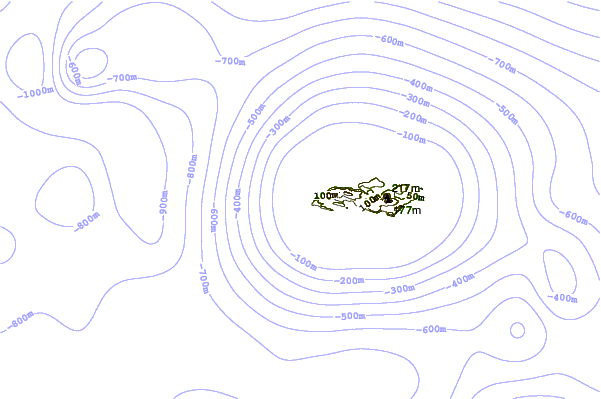
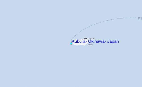
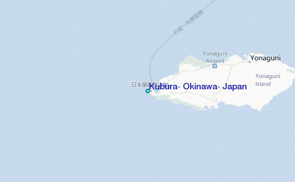
Use this relief map to navigate to tide stations, surf breaks and cities that are in the area of Kubura, Okinawa, Japan.
Other Nearby Locations' tide tables and tide charts to Kubura, Okinawa, Japan:
click location name for more details
 Surf breaks close to Kubura, Okinawa, Japan:
|
||
|---|---|---|
| Closest surf break | Sunrise | 69 mi |
| Second closest surf break | The Core | 73 mi |
| Third closest surf break | Lightning Bolt | 74 mi |
| Fourth closest surf break | Barrels | 75 mi |
| Fifth closest surf break | Fulung Beach | 75 mi |


 Nearest
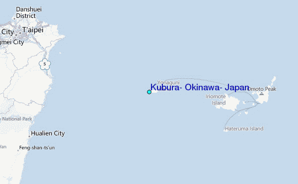