
| Distance / Altitude | Location | Report Date / Time | Live Weather | Wind | Gusts | Temp. | Visibility | Cloud |
|---|---|---|---|---|---|---|---|---|
| 41 km SSW / 212 m | Chignik Bay Airport (Alaska) | 2025-12-25 01:56 local (2025/12/25 10:56 GMT) | - | wind obs. (6 kph from 160 degs) was rejected (- km/h at -) | 1°C | 16 | few | |
| 111 km NNE / 18 m | Pilot Point (Alaska) | 2025-12-25 01:56 local (2025/12/25 10:56 GMT) | - | moderate winds from the NE (20 km/h at 40) | -8°C | 14 | few | |
| 134 km WSW / 3 m | BUOY-CPSA2 (Marine) | 2025-12-25 03:02 local (2025/12/25 12:02 GMT) | moderate winds from the NE (21 km/h at 40) | 0°C | - | |||
| 208 km SW / 4 m | Nelson Lagoon Airport (Alaska) | 2025-12-25 01:56 local (2025/12/25 10:56 GMT) | - | moderate winds from the NE (24 km/h at 40) | 0°C | 0.0 | ||
| 208 km SW / 3 m | BUOY-NLXA2 (Marine) | 2025-12-25 03:02 local (2025/12/25 12:02 GMT) | moderate winds from the E (24 km/h at 90) | 1°C | - | |||
| 235 km E / 14 m | Akhiok (Alaska) | 2025-12-25 01:56 local (2025/12/25 10:56 GMT) | - | moderate winds from the WNW (26 km/h at 300) | 2°C | 0.0 | ||
| 244 km NNE / 211 m | King Salmon Airport (Alaska) | 2025-12-25 01:54 local (2025/12/25 10:54 GMT) | Clear | light winds from the N (9 km/h at 350) | -12°C | 16 | ||
| 267 km ENE / 3 m | Shelikof Strait- AK (Marine) | 2025-12-25 02:50 local (2025/12/25 11:50 GMT) | light winds from the E (18 km/h at 80) | 4°C | - | |||
| 270 km ENE / - m | SHIP767 (ocean) | 2025-12-25 02:00 local (2025/12/25 11:00 GMT) | - | light winds from the W (11 km/h at 270) | 4°C | - | no observation | |
| 270 km ENE / - m | SHIP1190 (ocean) | 2025-12-25 02:00 local (2025/12/25 11:00 GMT) | - | light winds from the W (14 km/h at 270) | 4°C | - | no observation |
| Contours: | Roads & Rivers: | Select a
tide station / surf break / city |
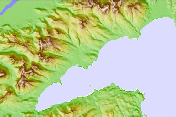
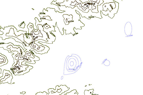
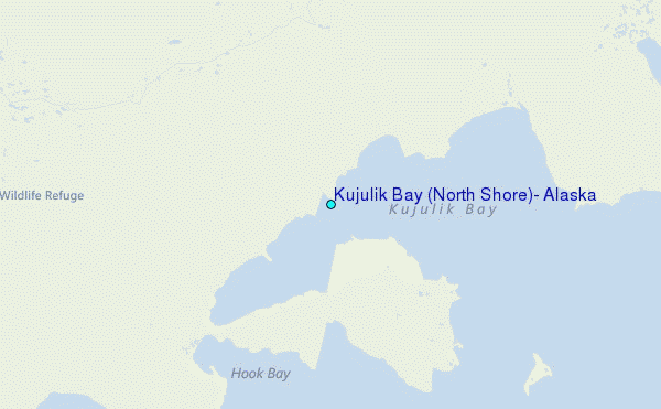
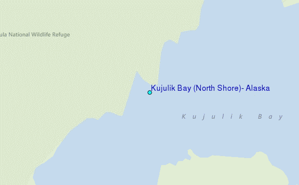
Use this relief map to navigate to tide stations, surf breaks and cities that are in the area of Kujulik Bay (North Shore), Alaska.
Other Nearby Locations' tide tables and tide charts to Kujulik Bay (North Shore), Alaska:
click location name for more details
 Surf breaks close to Kujulik Bay (North Shore), Alaska:
|
||
|---|---|---|
| Closest surf break | Fossil Beach Kodiak | 219 mi |
| Second closest surf break | Monashka Bay | 224 mi |
| Third closest surf break | Termination Point | 226 mi |
| Fourth closest surf break | Mill Bay | 227 mi |
| Fifth closest surf break | Bird Point (Tidal Bore) | 369 mi |


 Nearest
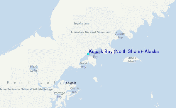