
| Distance / Altitude | Location | Report Date / Time | Live Weather | Wind | Gusts | Temp. | Visibility | Cloud |
|---|---|---|---|---|---|---|---|---|
| 47 km ESE / 39 m | Yakushima(47836-1) (Japan) | 2025-12-26 10:00 local (2025/12/26 01:00 GMT) | Continuous light rain | strong winds from the NW (48 km/h at 310) | 10°C | 40 km | - no observation - | |
| 73 km E / 328 m | Tanegashima Airport (Japan) | 2025-12-26 09:00 local (2025/12/26 00:00 GMT) | Dry and partly cloudy | fresh winds from the NNW (31 km/h at 330) | 6°C | 10.0 | few broken | |
| 82 km ENE / 38 m | Tanegashima (Japan) | 2025-12-26 10:00 local (2025/12/26 01:00 GMT) | - | strong winds from the NNW (50 km/h at 330) | 8°C | 40 km | no observation | |
| 89 km N / 31 m | Makurazaki (Japan) | 2025-12-26 10:00 local (2025/12/26 01:00 GMT) | Continuous light rain | fresh winds from the NNW (31 km/h at 330) | 7°C | 40 km | no observation | |
| 106 km N / 20 m | Kaseda-shirakame wx (Japan) | 2025-12-26 10:35 local (2025/12/26 01:35 GMT) | - | light winds from the N (16 km/h at 9) | 5°C | - | - - 0 | |
| 126 km NNE / 32 m | Kagoshima (Japan) | 2025-12-26 10:00 local (2025/12/26 01:00 GMT) | - | light winds from the NNW (17 km/h at 330) | 6°C | 40 km | - no observation - | |
| 156 km NNE / 474 m | Kagoshima Airport (Japan) | 2025-12-26 09:00 local (2025/12/26 00:00 GMT) | Dry and partly cloudy | fresh winds from the NNW (31 km/h at 330) | 2°C | 10.0 | few broken - | |
| 164 km NNE / 155 m | Miyakonojo (Japan) | 2025-12-26 10:00 local (2025/12/26 01:00 GMT) | - | light winds from the WNW (7 km/h at 290) | 5°C | 40 km | no observation | |
| 169 km NE / 15 m | Aburatsu (Japan) | 2025-12-26 10:00 local (2025/12/26 01:00 GMT) | - | moderate winds from the WNW (24 km/h at 300) | 7°C | 40 km | no observation | |
| 171 km N / 45 m | Akune (Japan) | 2025-12-26 10:00 local (2025/12/26 01:00 GMT) | - | moderate winds from the N (24 km/h at 360) | 5°C | 40 km | no observation |
| Contours: | Roads & Rivers: | Select a
tide station / surf break / city |
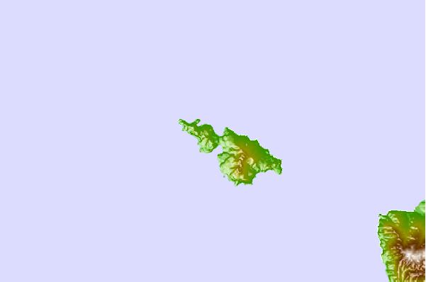
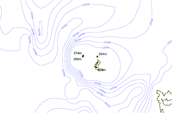
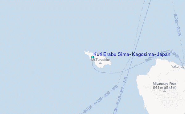
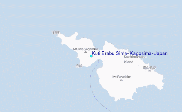
Use this relief map to navigate to tide stations, surf breaks and cities that are in the area of Kuti Erabu Sima, Kagosima, Japan.
Other Nearby Locations' tide tables and tide charts to Kuti Erabu Sima, Kagosima, Japan:
click location name for more details
 Surf breaks close to Kuti Erabu Sima, Kagosima, Japan:
|
||
|---|---|---|
| Closest surf break | Nagata | 90 mi |
| Second closest surf break | Cape Toi | 93 mi |
| Third closest surf break | Kojima | 98 mi |
| Fourth closest surf break | Nichinan | 107 mi |
| Fifth closest surf break | Unnamed | 108 mi |


 Nearest
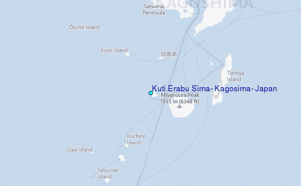