
| Distance / Altitude | Location | Report Date / Time | Live Weather | Wind | Gusts | Temp. | Visibility | Cloud |
|---|---|---|---|---|---|---|---|---|
| 50 km ENE / 241 m | Wakkanai (Japan) | 2025-12-26 10:00 local (2025/12/26 01:00 GMT) | Continuous light snow | fresh winds from the NNE (30 km/h at 20) | -4°C | 4.8 km | no observation | |
| 57 km ENE / 317 m | Wakkanai Airport (Japan) | 2025-12-26 09:00 local (2025/12/26 00:00 GMT) | Dry and partly cloudy | fresh winds from the N (30 km/h at 10) | -5°C | 10.0 | few broken broken | |
| 65 km WNW / 15 m | ASCATB141E46N (Marine) | 2025-12-26 08:35 local (2025/12/25 23:35 GMT) | strong winds from the NNE (40 km/h at 14) | — | - km | |||
| 80 km SSW / 15 m | ASCATB141E45N (Marine) | 2025-12-26 08:35 local (2025/12/25 23:35 GMT) | fresh winds from the N (36 km/h at 9) | — | - km | |||
| 102 km SSE / 13 m | Haboro (Japan) | 2025-12-26 10:00 local (2025/12/26 01:00 GMT) | Continuous light snow | light winds from the NE (17 km/h at 40) | -4°C | 40 km | no observation | |
| 117 km ESE / 8 m | Kitamiesashi (Japan) | 2025-12-26 10:00 local (2025/12/26 01:00 GMT) | Continuous light snow | light winds from the NNW (13 km/h at 330) | -4°C | 1.4 km | - no observation - | |
| 129 km W / 15 m | ASCATB140E46N (Marine) | 2025-12-26 08:35 local (2025/12/25 23:35 GMT) | near gales from the NNW (51 km/h at 342) | — | - km | |||
| 129 km ENE / 15 m | ASCATB143E46N (Marine) | 2025-12-26 08:35 local (2025/12/25 23:35 GMT) | fresh winds from the N (36 km/h at 349) | — | - km | |||
| 140 km SW / 15 m | ASCATB140E45N (Marine) | 2025-12-26 08:35 local (2025/12/25 23:35 GMT) | near gales from the NNW (51 km/h at 342) | — | - km | |||
| 143 km SSE / 28 m | Rumoi (Japan) | 2025-12-26 10:00 local (2025/12/26 01:00 GMT) | Continuous light snow | light winds from the N (11 km/h at 10) | -3°C | 40 km | no observation |
| Contours: | Roads & Rivers: | Select a
tide station / surf break / city |
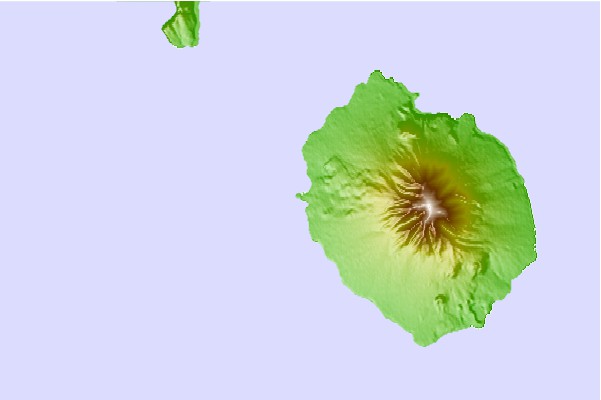
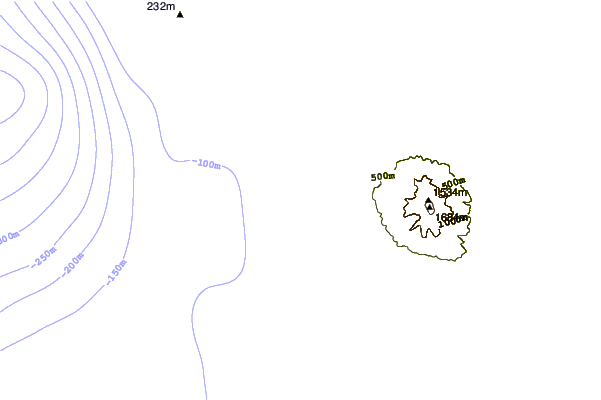
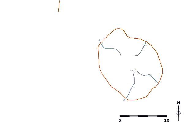
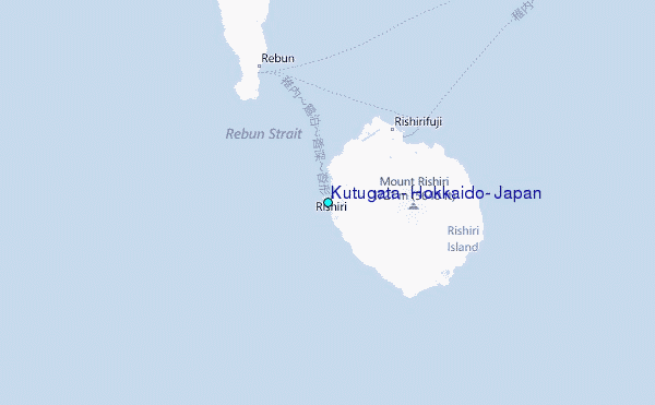
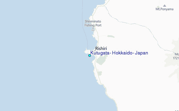
Use this relief map to navigate to tide stations, surf breaks and cities that are in the area of Kutugata, Hokkaido, Japan.
Other Nearby Locations' tide tables and tide charts to Kutugata, Hokkaido, Japan:
click location name for more details
 Surf breaks close to Kutugata, Hokkaido, Japan:
|
||
|---|---|---|
| Closest surf break | Livadia | 451 mi |
| Second closest surf break | Gornostay | 474 mi |
| Third closest surf break | Patrokl | 477 mi |
| Fourth closest surf break | Choshi | 655 mi |
| Fifth closest surf break | Katagai | 668 mi |


 Nearest
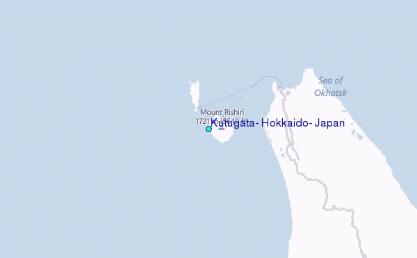