
| Distance / Altitude | Location | Report Date / Time | Live Weather | Wind | Gusts | Temp. | Visibility | Cloud |
|---|---|---|---|---|---|---|---|---|
| 48 km SSE / - m | SHIP349 (ocean) | 2025-12-25 21:00 local (2025/12/26 01:00 GMT) | - | fresh winds from the NW (36 km/h at 320) | 3°C | - | no observation | |
| 48 km SSE / 3 m | La Have Bank Buoy (Marine) | 2025-12-25 21:00 local (2025/12/26 01:00 GMT) | fresh winds from the NW (36 km/h at 320) | 3°C | - | |||
| 118 km W / 6 m | Baccaro Pt- NS (Canada) | 2025-12-25 21:00 local (2025/12/26 01:00 GMT) | - | wind obs. (18 kph from 260 degs) was rejected (- km/h at -) | — | - | - - - | |
| 124 km NW / 217 m | Western Head Airport (Nova Scotia) | 2025-12-25 20:00 local (2025/12/26 00:00 GMT) | - | light winds from the N (17 km/h at 350) | -5°C | 0.0 | ||
| 118 km W / 6 m | Baccaro Pt- NS (Canada) | 2025-12-25 21:00 local (2025/12/26 01:00 GMT) | - | wind obs. (18 kph from 260 degs) was rejected (- km/h at -) | — | - | - - - | |
| 124 km WNW / 3 m | SHIP5341 (Marine) | 2025-12-25 19:00 local (2025/12/25 23:00 GMT) | moderate winds from the NE (26 km/h at 50) | -5°C | - | |||
| 124 km NW / 217 m | Western Head Airport (Nova Scotia) | 2025-12-25 20:00 local (2025/12/26 00:00 GMT) | - | light winds from the N (17 km/h at 350) | -5°C | 0.0 | ||
| 124 km WNW / 3 m | SHIP7402 (Marine) | 2025-12-25 19:00 local (2025/12/25 23:00 GMT) | moderate winds from the NE (26 km/h at 50) | -5°C | - | |||
| 124 km WNW / 3 m | SHIP6416 (Marine) | 2025-12-25 20:00 local (2025/12/26 00:00 GMT) | moderate winds from the NE (22 km/h at 40) | -5°C | - | |||
| 124 km WNW / 3 m | SHIP4904 (Marine) | 2025-12-25 21:00 local (2025/12/26 01:00 GMT) | calm (4 km/h at 360) | -5°C | - |
| Contours: | Roads & Rivers: | Select a
tide station / surf break / city |


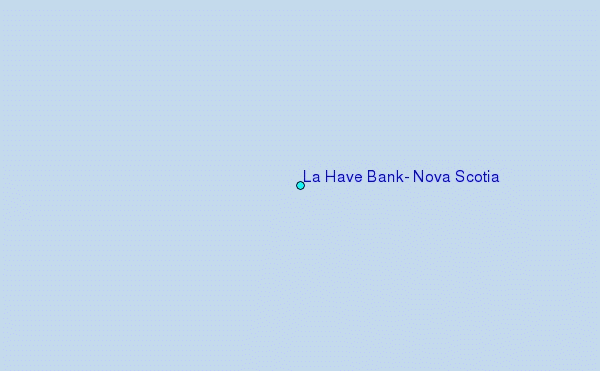
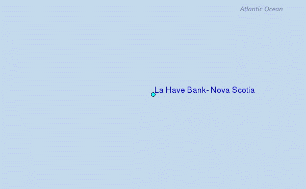
Use this relief map to navigate to tide stations, surf breaks and cities that are in the area of La Have Bank, Nova Scotia.
Other Nearby Locations' tide tables and tide charts to La Have Bank, Nova Scotia:
click location name for more details
 Surf breaks close to La Have Bank, Nova Scotia:
|
||
|---|---|---|
| Closest surf break | Summerville | 77 mi |
| Second closest surf break | White Point Beach | 77 mi |
| Third closest surf break | Scotts Bay | 78 mi |
| Fourth closest surf break | Western Head Point | 78 mi |
| Fifth closest surf break | Western Head Reef | 78 mi |


 Nearest
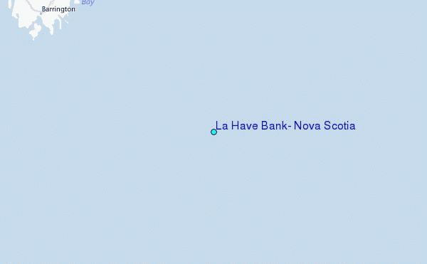