
| Distance / Altitude | Location | Report Date / Time | Live Weather | Wind | Gusts | Temp. | Visibility | Cloud |
|---|---|---|---|---|---|---|---|---|
| 117 km E / 211 m | Guayaquil/José Joaquín de Olmedo International Airport (Ecuador) | 2026-04-03 21:00 local (2026/04/04 02:00 GMT) | - | moderate winds from the SW (20 km/h at 220) | 27°C | 10.0 | few | |
| 143 km N / 190 m | Manta/Eloy Alfaro International Airport (Ecuador) | 2026-04-03 21:00 local (2026/04/04 02:00 GMT) | Dry and partly cloudy | light winds from the SW (6 km/h at 230) | 24°C | 10.0 | scattered - - | |
| 156 km SSE / 158 m | Tumbes Pedro Canga Rodríguez Airport (Peru) | 2026-04-03 21:00 local (2026/04/04 02:00 GMT) | - | light winds from the WNW (6 km/h at 300) | 25°C | 10.0 | few | |
| 228 km ESE / 2531 m | Cuenca/Mariscal Airport (Ecuador) | 2026-04-03 21:00 local (2026/04/04 02:00 GMT) | Dry and partly cloudy | wind obs. (13 kph from 50 degs) was rejected (- km/h at -) | 15°C | 10.0 | broken | |
| 263 km S / 220 m | Talara/Cap. FAP Víctor Montes Arias International Airport (Peru) | 2026-04-03 22:00 local (2026/04/04 03:00 GMT) | Dry and partly cloudy | light winds from the SSE (19 km/h at 160) | 24°C | 10.0 | scattered | |
| 293 km ENE / 2768 m | Latacunga/Cotopaxi Airport (Ecuador) | 2026-04-03 21:00 local (2026/04/04 02:00 GMT) | - | moderate winds from the S (20 km/h at 180) | 11°C | 10.0 | few | |
| 300 km ENE / 3200 m | Latacunga (Ecuador) | 2026-04-03 22:09 local (2026/04/04 03:09 GMT) | dry | calm (0 km/h at 121) | 10°C | - | - - 0 | |
| 328 km S / 1 m | Piura/Capitán FAP Guillermo Concha Iberico International Airport (Peru) | 2026-04-03 21:00 local (2026/04/04 02:00 GMT) | - | light winds from the SSW (19 km/h at 200) | — | 0.0 | ||
| 368 km NE / 2400 m | Quito New International Airport (Ecuador) | 2026-04-03 21:00 local (2026/04/04 02:00 GMT) | Dry and partly cloudy | calm (4 km/h at 30) | 13°C | 10.0 | scattered | |
| 423 km NE / 2952 m | AEP Yuracrucito (Ecuador) | 2026-04-03 22:00 local (2026/04/04 03:00 GMT) | - | calm (2 km/h at 168) | 11°C | - | - - 0 |
| Contours: | Roads & Rivers: | Select a
tide station / surf break / city |
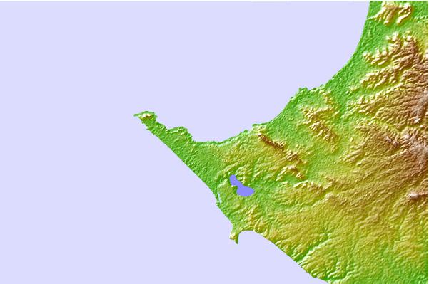
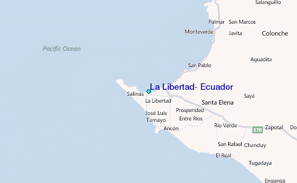
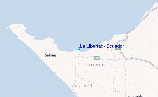
Use this relief map to navigate to tide stations, surf breaks and cities that are in the area of La Libertad, Ecuador.
Other Nearby Locations' tide tables and tide charts to La Libertad, Ecuador:
click location name for more details
 Surf breaks close to La Libertad, Ecuador:
|
||
|---|---|---|
| Closest surf break | Punta San Lorenzo | 1 mi |
| Second closest surf break | El Miramar | 1 mi |
| Third closest surf break | Elle Muelle de Ecuasal | 3 mi |
| Fourth closest surf break | La FAE | 3 mi |
| Fifth closest surf break | Punta Chulluype | 3 mi |


 Nearest
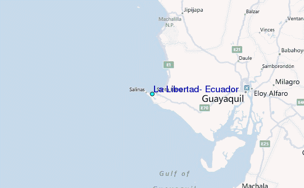