
| Distance / Altitude | Location | Report Date / Time | Live Weather | Wind | Gusts | Temp. | Visibility | Cloud |
|---|---|---|---|---|---|---|---|---|
| 20 km NE / 146 m | Riviere -DU -Loup- Que (Canada) | 2026-07-26 10:00 local (2026/07/26 14:00 GMT) | no report | light winds from the SW (7 km/h at 230) | 24°C | - | - - - | |
| 20 km ENE / 197 m | Rivière-du-Loup Airport (Quebec) | 2026-07-26 09:00 local (2026/07/26 13:00 GMT) | - | calm (4 km/h at 140) | 19°C | 0.0 | ||
| 39 km SSW / 3 m | SHIP1160 (Marine) | 2026-07-26 09:00 local (2026/07/26 13:00 GMT) | fresh winds from the NNE (30 km/h at 20) | — | - | |||
| 43 km S / 31 m | LA Pocatiere- Que (Canada) | 2026-07-26 10:00 local (2026/07/26 14:00 GMT) | no report | light winds from the SW (18 km/h at 230) | 26°C | - | - - - | |
| 43 km S / 198 m | LA Pocatiere Airport (Quebec) | 2026-07-26 09:00 local (2026/07/26 13:00 GMT) | - | calm (0 km/h at 0) | 20°C | 0.0 | ||
| 43 km S / 198 m | LA Pocatiere Airport (Quebec) | 2026-07-26 09:00 local (2026/07/26 13:00 GMT) | - | calm (0 km/h at 0) | 20°C | 0.0 | ||
| 44 km NNE / 216 m | Ile Rouge Airport (Quebec) | 2026-07-26 09:00 local (2026/07/26 13:00 GMT) | - | light winds from the E (11 km/h at 80) | 11°C | 0.0 | ||
| 44 km NNE / 6 m | Ile Rouge- Que (Canada) | 2026-07-26 08:00 local (2026/07/26 12:00 GMT) | no report | light winds from the SSW (18 km/h at 200) | 15°C | - | - - - | |
| 49 km N / 7 m | Pointe DE L islet- Que (Canada) | 2026-07-26 08:00 local (2026/07/26 12:00 GMT) | no report | wind obs. (22 kph from 280 degs) was rejected (- km/h at -) | 23°C | - | - - - | |
| 58 km SSW / 15 m | SHIP1782 (Marine) | 2026-07-26 09:00 local (2026/07/26 13:00 GMT) | moderate winds from the ENE (24.12 km/h at 60) | — | - km |
| Contours: | Roads & Rivers: | Select a
tide station / surf break / city |
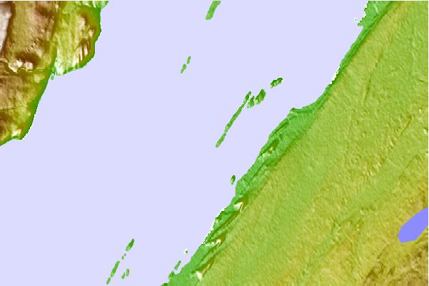
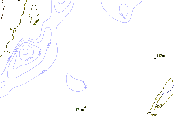
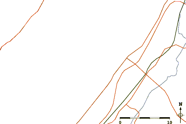
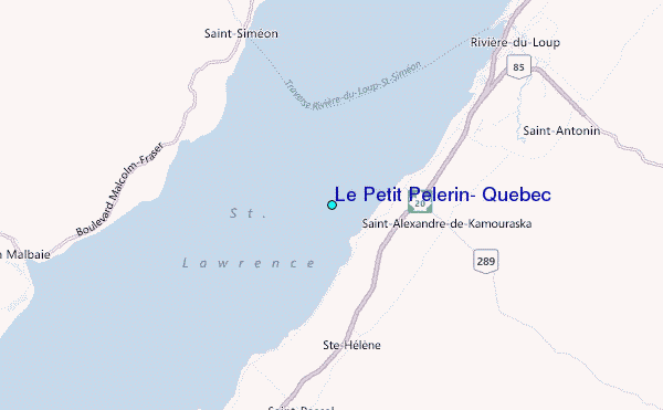
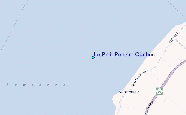
Use this relief map to navigate to tide stations, surf breaks and cities that are in the area of Le Petit Pelerin, Quebec.
Other Nearby Locations' tide tables and tide charts to Le Petit Pelerin, Quebec:
click location name for more details
 Surf breaks close to Le Petit Pelerin, Quebec:
|
||
|---|---|---|
| Closest surf break | Trayhan's | 273 mi |
| Second closest surf break | Popham Read | 274 mi |
| Third closest surf break | Doc Browns | 287 mi |
| Fourth closest surf break | Higgins Beach | 287 mi |
| Fifth closest surf break | Two Lights | 287 mi |


 Nearest
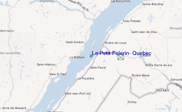