
| Distance / Altitude | Location | Report Date / Time | Live Weather | Wind | Gusts | Temp. | Visibility | Cloud |
|---|---|---|---|---|---|---|---|---|
| 94 km NW / 3 m | SHIP1904 (Marine) | 2024-04-26 13:00 local (2024/04/26 17:00 GMT) | - (- km/h at -) | 29°C | - | |||
| 205 km NW / 203 m | Guantanamo Bay Airport (Cuba) | 2024-04-26 13:00 local (2024/04/26 17:00 GMT) | - | wind obs. (120 kph from 261 degs) was rejected (- km/h at -) | 32°C | 16 | few | |
| 206 km E / 256 m | Port-Au-prince Airport (Haiti) | 2024-04-26 13:00 local (2024/04/26 17:00 GMT) | Dry and partly cloudy | light winds from the E (19 km/h at 80) | — | 8.0 | scattered broken | |
| 251 km WNW / 209 m | Santiago De Cuba Airport (Cuba) | 2024-04-26 12:50 local (2024/04/26 16:50 GMT) | Dry and partly cloudy | light winds from the S.(Wind varies from 140 to 230 degs) (15 km/h at 180) | 31°C | 9.0 | scattered | |
| 268 km NE / 2 m | Cap-haitien Airport (Haiti) | 2024-04-26 12:52 local (2024/04/26 16:52 GMT) | Dry and partly cloudy | light winds from the N (17 km/h at 10) | 29°C | 9.0 | scattered broken |
| Contours: | Roads & Rivers: | Select a
tide station / surf break / city |
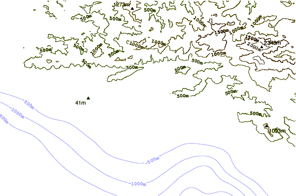
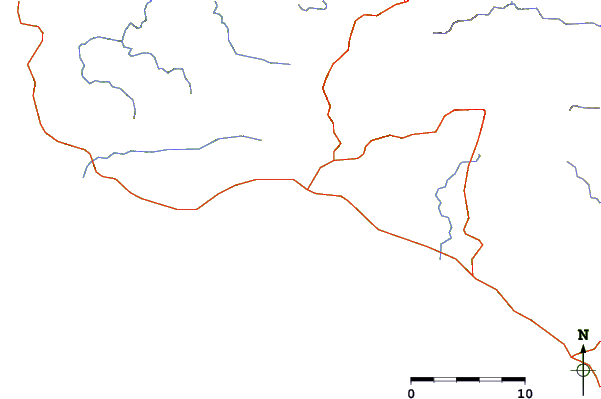
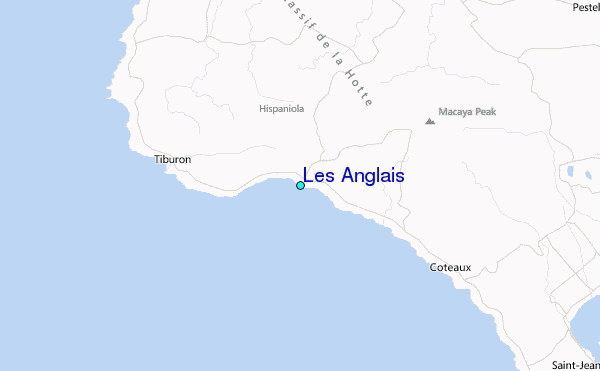
Use this relief map to navigate to tide stations, surf breaks and cities that are in the area of Les Anglais.
Other Nearby Locations' tide tables and tide charts to Les Anglais:
click location name for more details
 Surf breaks close to Les Anglais:
|
||
|---|---|---|
| Closest surf break | Jacmel | 110 mi |
| Second closest surf break | The Ranch | 132 mi |
| Third closest surf break | Long Bay | 139 mi |
| Fourth closest surf break | Boston Bay | 139 mi |
| Fifth closest surf break | Winnifred Beach | 142 mi |

 Nearest
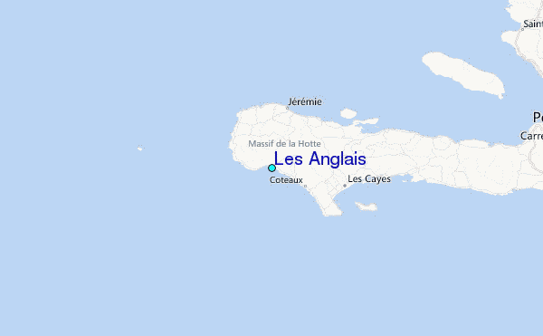