
| Distance / Altitude | Location | Report Date / Time | Live Weather | Wind | Gusts | Temp. | Visibility | Cloud |
|---|---|---|---|---|---|---|---|---|
| 29 km WNW / 329 m | lightning 8km SW of Chambellan (Haiti) | 2026-07-09 15:34 local (2026/07/09 19:34 GMT) | Thunderstorm | (- km/h at -) | — | |||
| 50 km NW / 0 m | lightning 14km NNW of Dame-Marie (Haiti) | 2026-07-09 15:48 local (2026/07/09 19:48 GMT) | Thunderstorm | (- km/h at -) | — | |||
| 67 km W / 0 m | lightning 40km WNW of Les Irois (Haiti) | 2026-07-09 15:50 local (2026/07/09 19:50 GMT) | Thunderstorm | (- km/h at -) | — | |||
| 84 km E / 260 m | lightning 12km NNW of Aquin (Haiti) | 2026-07-09 15:47 local (2026/07/09 19:47 GMT) | Thunderstorm | (- km/h at -) | — | |||
| 111 km N / 15 m | SHIP2629 (Marine) | 2026-07-09 14:00 local (2026/07/09 18:00 GMT) | moderate winds from the ENE (25.92 km/h at 60) | 30°C | 17.7 km | |||
| 111 km N / 3 m | SHIP3373 (Marine) | 2026-07-09 14:00 local (2026/07/09 18:00 GMT) | moderate winds from the ENE (26 km/h at 60) | 34°C | 20.4 | |||
| 111 km N / 3 m | SHIP1129 (Marine) | 2026-07-09 14:00 local (2026/07/09 18:00 GMT) | moderate winds from the ENE (26 km/h at 60) | 34°C | 20.4 | |||
| 111 km N / 3 m | SHIP2969 (Marine) | 2026-07-09 14:00 local (2026/07/09 18:00 GMT) | moderate winds from the ENE (26 km/h at 60) | 34°C | 20.4 | |||
| 111 km N / 15 m | SHIP6139 (Marine) | 2026-07-09 14:00 local (2026/07/09 18:00 GMT) | moderate winds from the ENE (25.92 km/h at 60) | 30°C | 17.7 km | |||
| 111 km N / 3 m | SHIP1032 (Marine) | 2026-07-09 14:00 local (2026/07/09 18:00 GMT) | moderate winds from the ENE (26 km/h at 60) | 34°C | 20.4 |
| Contours: | Roads & Rivers: | Select a
tide station / surf break / city |
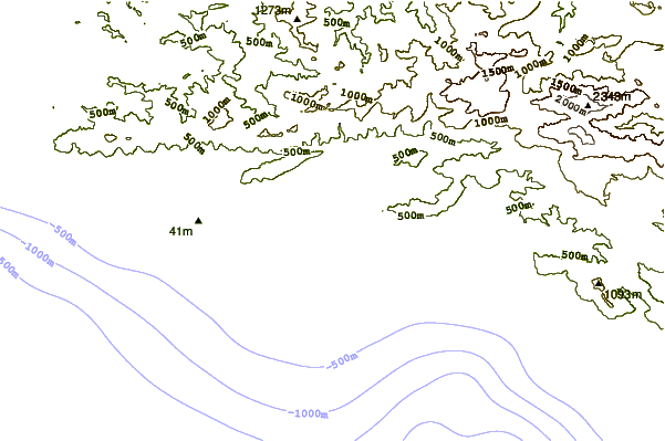
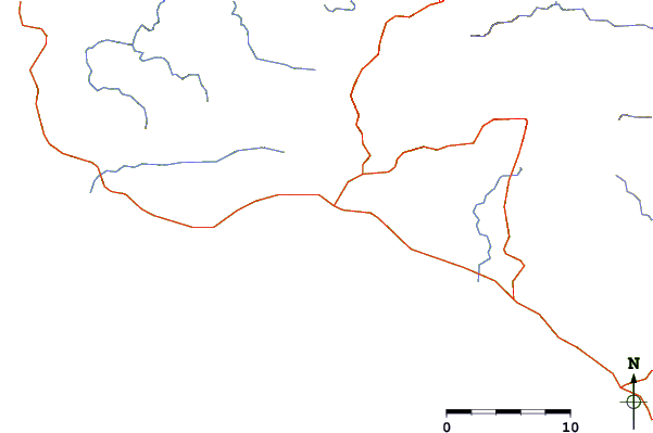
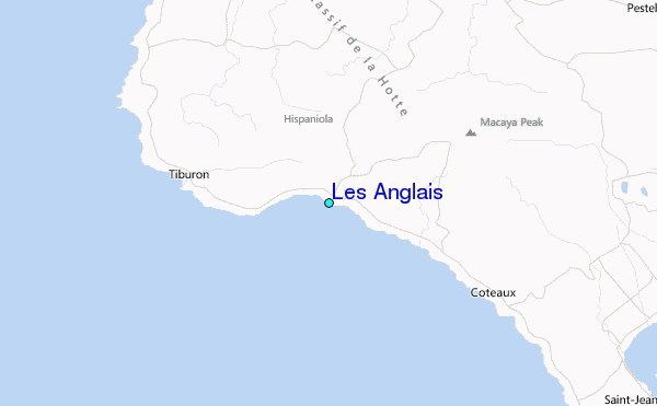
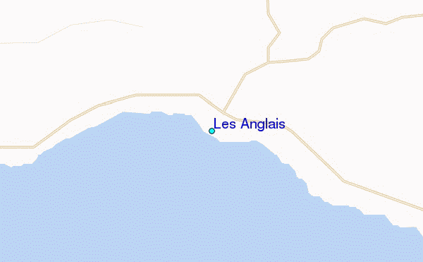
Use this relief map to navigate to tide stations, surf breaks and cities that are in the area of Les Anglais.
Other Nearby Locations' tide tables and tide charts to Les Anglais:
click location name for more details
 Surf breaks close to Les Anglais:
|
||
|---|---|---|
| Closest surf break | Jacmel | 110 mi |
| Second closest surf break | The Ranch | 132 mi |
| Third closest surf break | Long Bay | 139 mi |
| Fourth closest surf break | Boston Bay | 139 mi |
| Fifth closest surf break | Winnifred Beach | 142 mi |


 Nearest
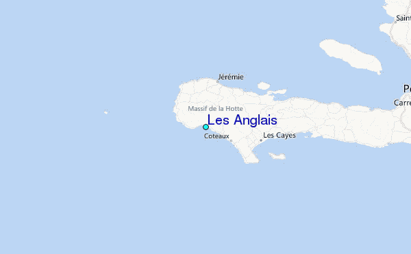