
| Distance / Altitude | Location | Report Date / Time | Live Weather | Wind | Gusts | Temp. | Visibility | Cloud |
|---|---|---|---|---|---|---|---|---|
| 88 km SSW / 155 m | Kalumburu (Australia) | 2026-04-30 08:00 local (2026/04/30 00:00 GMT) | no report | - (- km/h at -) | 23°C | - | - | |
| 101 km SW / 52 m | Truscott (Australia) | 2026-04-30 09:00 local (2026/04/30 01:00 GMT) | Clear skies | light winds from the ESE (13 km/h at 110) | 29°C | - | - no observation - | |
| 125 km WSW / 415 m | Troughton Island (Australia) | 2026-04-30 09:00 local (2026/04/30 01:00 GMT) | no report | wind obs. (15 kph from 40 degs) was rejected (- km/h at -) | 26°C | - | - no observation - | |
| 201 km S / 386 m | Doongan (Australia) | 2026-04-30 09:00 local (2026/04/30 01:00 GMT) | State of sky unchanged | light winds from the NE (13 km/h at 50) | 28°C | 40 km | clear | |
| 208 km SSE / 4 m | Wyndham Aerodrome (Australia) | 2026-04-30 09:00 local (2026/04/30 01:00 GMT) | no report | light winds from the E (17 km/h at 90) | 25°C | - | - no observation - | |
| 216 km SW / 15 m | SHIP8440 (Marine) | 2026-04-30 07:00 local (2026/04/29 23:00 GMT) | - (- km/h at -) | 29°C | - km | |||
| 216 km SW / 15 m | SHIP4461 (Marine) | 2026-04-30 07:00 local (2026/04/29 23:00 GMT) | - (- km/h at -) | 29°C | - km | |||
| 216 km SW / 15 m | SHIP6577 (Marine) | 2026-04-30 07:00 local (2026/04/29 23:00 GMT) | - (- km/h at -) | 29°C | - km | |||
| 216 km SW / 15 m | SHIP2556 (Marine) | 2026-04-30 07:00 local (2026/04/29 23:00 GMT) | - (- km/h at -) | 29°C | - km | |||
| 216 km SW / 15 m | SHIP7686 (Marine) | 2026-04-30 08:00 local (2026/04/30 00:00 GMT) | - (- km/h at -) | 29°C | - km |
| Contours: | Roads & Rivers: | Select a
tide station / surf break / city |
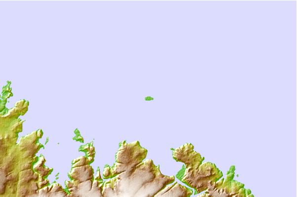
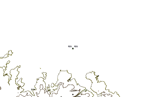
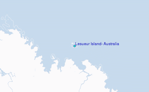
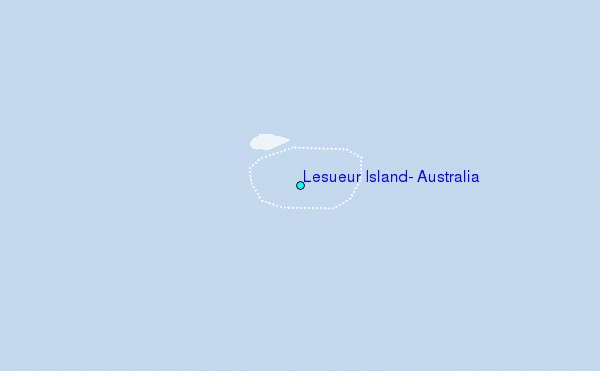
Use this relief map to navigate to tide stations, surf breaks and cities that are in the area of Lesueur Island, Australia.
Other Nearby Locations' tide tables and tide charts to Lesueur Island, Australia:
click location name for more details
 Surf breaks close to Lesueur Island, Australia:
|
||
|---|---|---|
| Closest surf break | Fannie Bay | 258 mi |
| Second closest surf break | Rapid Creek - Reef | 260 mi |
| Third closest surf break | Rapid Creek - Bar | 261 mi |
| Fourth closest surf break | Rapid Creek - Beach | 262 mi |
| Fifth closest surf break | Casuarina (Darwin) | 265 mi |


 Nearest
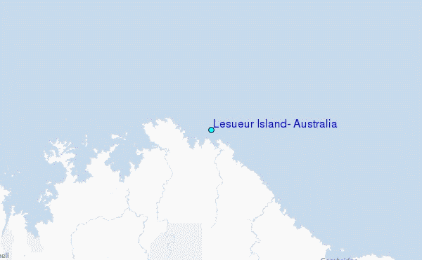