
| Distance / Altitude | Location | Report Date / Time | Live Weather | Wind | Gusts | Temp. | Visibility | Cloud |
|---|---|---|---|---|---|---|---|---|
| 24 km E / 15 m | SHIP4604 (Marine) | 2026-06-22 11:00 local (2026/06/22 03:00 GMT) | strong winds from the ESE (43.2 km/h at 120) | 27°C | - km | |||
| 262 km SE / 45 m | Kununurra Airport (Australia) | 2026-06-22 12:30 local (2026/06/22 04:30 GMT) | Dry and partly cloudy | light winds from the SE (17 km/h at 140) | 27°C | 10.0 | no cloud broken - | |
| 420 km ENE / 218 m | Darwin Airport (Australia) | 2026-06-22 12:30 local (2026/06/22 04:30 GMT) | Dry and partly cloudy | moderate winds from the E (24 km/h at 80) | 30°C | 10.0 | no cloud | |
| 421 km ENE / 35 m | Darwin Airport (Australia) | 2026-06-22 12:30 local (2026/06/22 04:30 GMT) | Dry and partly cloudy | moderate winds from the E (24 km/h at 80) | 30°C | 10.0 | no cloud broken broken | |
| 446 km ENE / 62 m | Herbert (Australia) | 2026-06-22 12:44 local (2026/06/22 04:44 GMT) | dry | wind obs. (6 kph from 10 degs) was rejected (- km/h at -) | 29°C | - | - - 0 | |
| 47 km ENE / 15 m | SHIP7981 (Marine) | 2026-06-22 12:00 local (2026/06/22 04:00 GMT) | fresh winds from the SE (36.0 km/h at 130) | 27°C | - km | |||
| 47 km ENE / 15 m | SHIP1611 (Marine) | 2026-06-22 12:00 local (2026/06/22 04:00 GMT) | fresh winds from the SE (36.0 km/h at 130) | 27°C | - km | |||
| 47 km ENE / 15 m | SHIP5749 (Marine) | 2026-06-22 12:00 local (2026/06/22 04:00 GMT) | fresh winds from the SE (36.0 km/h at 130) | 27°C | - km | |||
| 58 km ENE / 15 m | SHIP950 (Marine) | 2026-06-22 13:00 local (2026/06/22 05:00 GMT) | fresh winds from the ESE (36.0 km/h at 120) | 27°C | - km | |||
| 262 km SE / 45 m | Kununurra Airport (Australia) | 2026-06-22 12:30 local (2026/06/22 04:30 GMT) | Dry and partly cloudy | light winds from the SE (17 km/h at 140) | 27°C | 10.0 | no cloud broken - |
| Contours: | Roads & Rivers: | Select a
tide station / surf break / city |
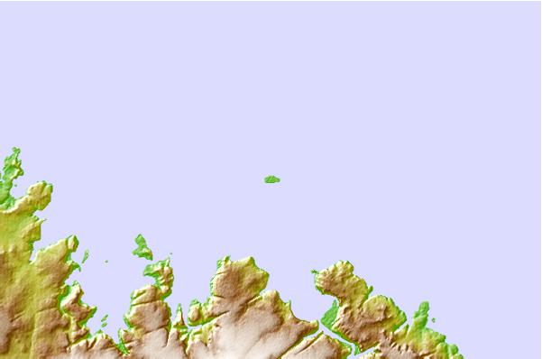
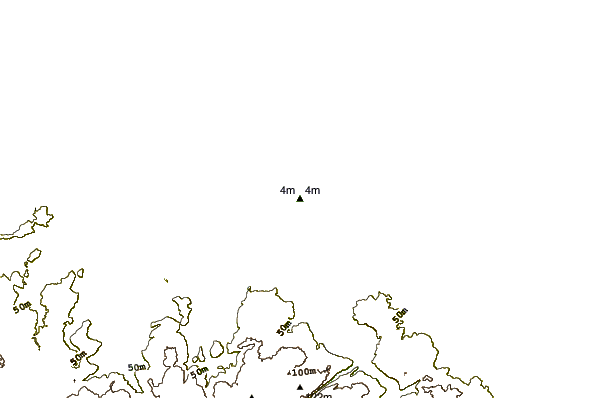
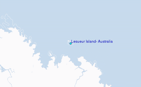
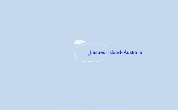
Use this relief map to navigate to tide stations, surf breaks and cities that are in the area of Lesueur Island, Australia.
Other Nearby Locations' tide tables and tide charts to Lesueur Island, Australia:
click location name for more details
 Surf breaks close to Lesueur Island, Australia:
|
||
|---|---|---|
| Closest surf break | Fannie Bay | 258 mi |
| Second closest surf break | Rapid Creek - Reef | 260 mi |
| Third closest surf break | Rapid Creek - Bar | 261 mi |
| Fourth closest surf break | Rapid Creek - Beach | 262 mi |
| Fifth closest surf break | Casuarina (Darwin) | 265 mi |


 Nearest
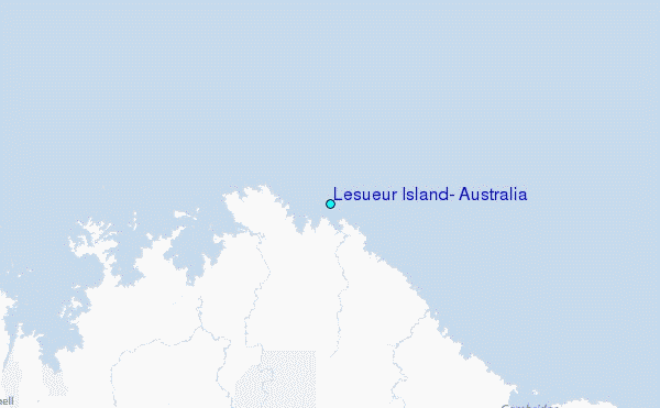