
| Distance / Altitude | Location | Report Date / Time | Live Weather | Wind | Gusts | Temp. | Visibility | Cloud |
|---|---|---|---|---|---|---|---|---|
| 28 km WNW / 217 m | Frobisher/Iqaluit Airport (N.w. Territories) | 2025-12-25 18:00 local (2025/12/25 23:00 GMT) | Dry and partly cloudy | wind obs. (9 kph from 190 degs) was rejected (- km/h at -) | -15°C | 24 | scattered broken | |
| 29 km WNW / 34 m | Iqaluit (Canada) | 2025-12-25 19:00 local (2025/12/26 00:00 GMT) | - | calm (4 km/h at 150) | — | - | - | |
| 305 km NNE / 23 m | Pangnirtung- NU (Canada) | 2025-12-25 19:00 local (2025/12/26 00:00 GMT) | - | calm (4 km/h at 130) | — | - | - | |
| 305 km NNE / 322 m | Pangnirtung Airport (N.w. Territories) | 2025-12-25 17:27 local (2025/12/25 22:27 GMT) | - | wind obs. (17 kph from 150 degs) was rejected (- km/h at -) | — | 13 | few broken scattered | |
| 420 km W / 217 m | Cape Dorset Airport (N.w. Territories) | 2025-12-25 18:31 local (2025/12/25 23:31 GMT) | - | light winds from the W (7 km/h at 280) | -18°C | 14 | ||
| 421 km W / 50 m | Cape Dorset Climate- NU (Canada) | 2025-12-25 19:00 local (2025/12/26 00:00 GMT) | - | moderate winds from the WSW (22 km/h at 250) | — | - | - - - | |
| 478 km NNE / 6 m | Qikiqtarjuaq Airport (Canada) | 2025-12-25 19:00 local (2025/12/26 00:00 GMT) | - | calm (4 km/h at 20) | — | - | - - - | |
| 481 km NNE / 707 m | Broughton Island Airport (N.w. Territories) | 2025-12-25 18:00 local (2025/12/25 23:00 GMT) | Clear | calm (0 km/h at 0) | -24°C | 14 | ||
| 613 km S / 216 m | Kuujjuaq Airport (Quebec) | 2025-12-25 18:00 local (2025/12/25 23:00 GMT) | Ice crystals | light winds from the SW (6 km/h at 230) | -24°C | 24 | scattered | |
| 626 km SSW / 339 m | Puvirnituq Airport (Quebec) | 2025-12-25 18:08 local (2025/12/25 23:08 GMT) | Light snow | light winds from the W (13 km/h at 260) | -19°C | 14 | overcast |
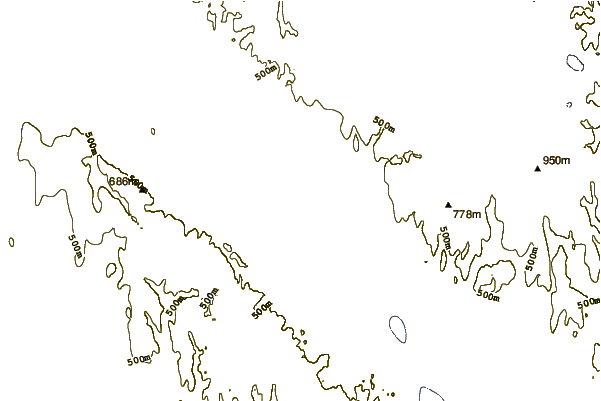
| Contours: | Roads & Rivers: | Select a
tide station / surf break / city |
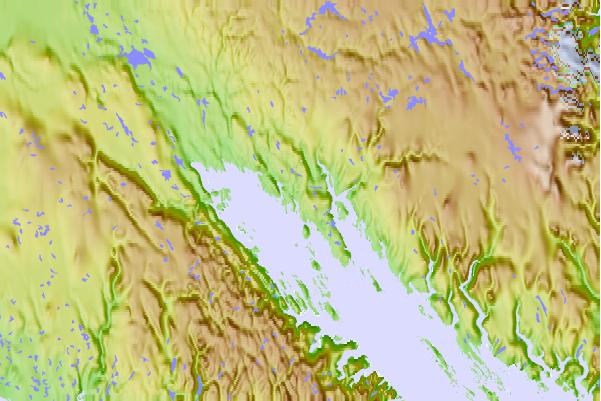
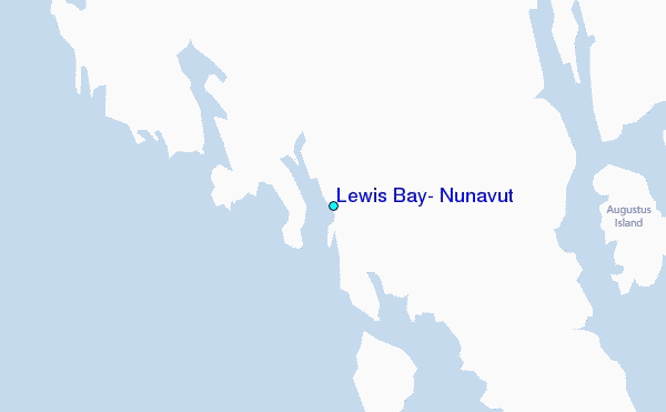
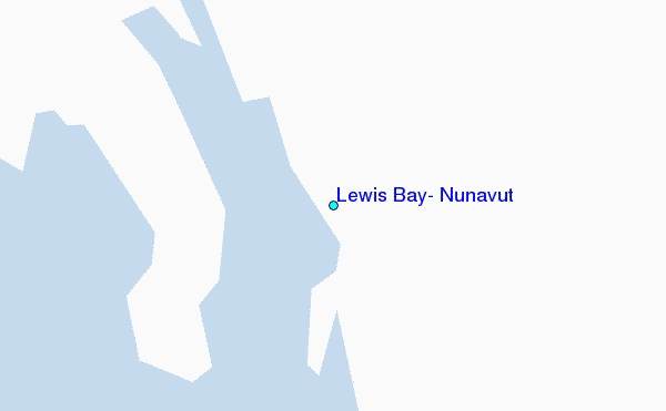
Use this relief map to navigate to tide stations, surf breaks and cities that are in the area of Lewis Bay, Nunavut.
Other Nearby Locations' tide tables and tide charts to Lewis Bay, Nunavut:
click location name for more details
 Surf breaks close to Lewis Bay, Nunavut:
|
||
|---|---|---|
| Closest surf break | Ingonish Beach | 1209 mi |
| Second closest surf break | Marathon | 1240 mi |
| Third closest surf break | Kennington Cove | 1264 mi |
| Fourth closest surf break | Michaud Point | 1279 mi |
| Fifth closest surf break | Alona Bay | 1302 mi |


 Nearest
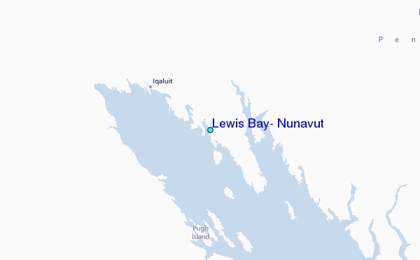