
| Distance / Altitude | Location | Report Date / Time | Live Weather | Wind | Gusts | Temp. | Visibility | Cloud |
|---|---|---|---|---|---|---|---|---|
| 47 km SE / 151 m | GanderIntl A- Nfld (Canada) | 2026-04-01 12:30 local (2026/04/01 15:00 GMT) | - | moderate winds from the NNE (22 km/h at 30) | -7°C | 2.0 km | - no observation - | |
| 47 km SE / 151 m | Gander International Airport (Canada) | 2026-04-01 12:30 local (2026/04/01 15:00 GMT) | - | wind obs. (25 kph from 230 degs) was rejected (- km/h at -) | — | 2.0 km | - no observation - | |
| 47 km SE / 217 m | Gander International Airport (Newfoundland) | 2026-04-01 11:30 local (2026/04/01 14:00 GMT) | - | moderate winds from the NNE (20 km/h at 30) | — | 2 | broken | |
| 52 km NNE / 207 m | Twillingate Airport (Newfoundland) | 2026-04-01 11:30 local (2026/04/01 14:00 GMT) | - | light winds from the ENE (9 km/h at 60) | -4°C | 0.0 | ||
| 53 km NNE / 92 m | Twillingate(Aut)-Nfld (Canada) | 2026-04-01 12:30 local (2026/04/01 15:00 GMT) | - | wind obs. (29 kph from 220 degs) was rejected (- km/h at -) | — | - | - no observation - | |
| 80 km SW / 103 m | Badger(Aut)-Nfld (Canada) | 2026-04-01 12:30 local (2026/04/01 15:00 GMT) | - | light winds from the SW (11 km/h at 220) | — | - | - no observation - | |
| 88 km NW / 140 m | La Scie, Newfoundland (Canada) | 2026-04-01 12:30 local (2026/04/01 15:00 GMT) | - | wind obs. (14 kph from 230 degs) was rejected (- km/h at -) | — | - | - no observation - | |
| 109 km SE / 107 m | Terra Nova Nat Park Cs- Nfld (Canada) | 2026-04-01 12:30 local (2026/04/01 15:00 GMT) | no report | light winds from the NNE (7 km/h at 30) | -3°C | - | - no observation - | |
| 109 km E / 19 m | PoolsIsland-Nfld (Canada) | 2026-04-01 12:30 local (2026/04/01 15:00 GMT) | - | wind obs. (18 kph from 180 degs) was rejected (- km/h at -) | — | - | - no observation - | |
| 110 km SE / 216 m | Terra Nova Airport (Newfoundland) | 2026-04-01 11:30 local (2026/04/01 14:00 GMT) | - | light winds from the NNE (7 km/h at 30) | -5°C | 0.0 |
| Contours: | Roads & Rivers: | Select a
tide station / surf break / city |
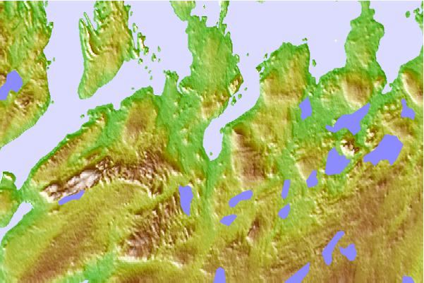
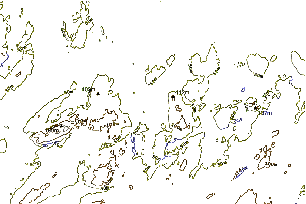
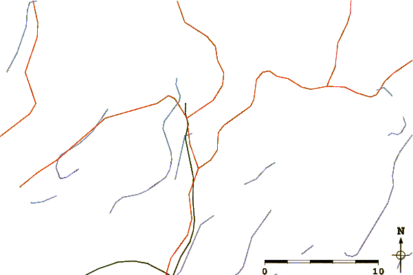
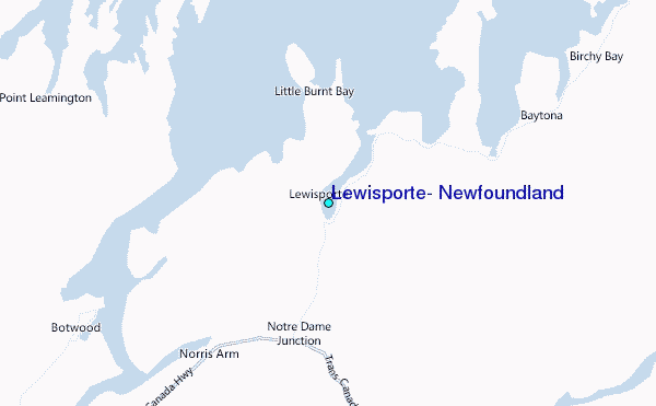
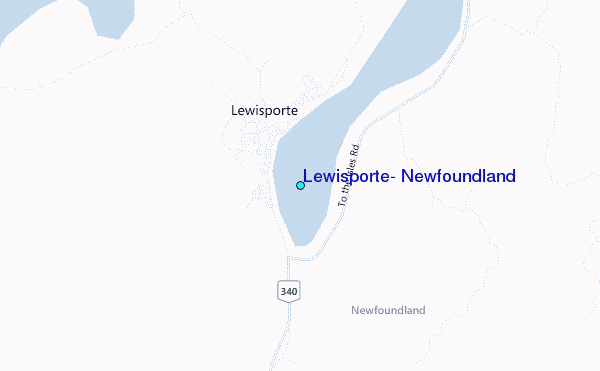
Use this relief map to navigate to tide stations, surf breaks and cities that are in the area of Lewisporte, Newfoundland.
Other Nearby Locations' tide tables and tide charts to Lewisporte, Newfoundland:
click location name for more details
 Surf breaks close to Lewisporte, Newfoundland:
|
||
|---|---|---|
| Closest surf break | Ingonish Beach | 305 mi |
| Second closest surf break | Kennington Cove | 329 mi |
| Third closest surf break | Michaud Point | 365 mi |
| Fourth closest surf break | Martinique | 495 mi |
| Fifth closest surf break | Lawrencetown Left Point | 503 mi |


 Nearest
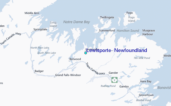