
| Distance / Altitude | Location | Report Date / Time | Live Weather | Wind | Gusts | Temp. | Visibility | Cloud |
|---|---|---|---|---|---|---|---|---|
| 3 km SE / 25 m | List/Sylt (Germany) | 2025-12-26 06:00 local (2025/12/26 05:00 GMT) | - | light winds from the ENE (14 km/h at 70) | — | 70 | - - - | |
| 13 km S / 219 m | Westerland/Sylt Airport (Germany) | 2025-12-26 05:20 local (2025/12/26 04:20 GMT) | Dry and partly cloudy | light winds from the ESE (6 km/h at 110) | -5°C | 1.3 | no cloud | |
| 21 km NNE / 9 m | RoemoeJuvre (Denmark) | 2025-12-26 06:00 local (2025/12/26 05:00 GMT) | Clear skies | light winds from the E (9 km/h at 80) | -2°C | 38 km | clear | |
| 21 km ESE / 4 m | Højer wx (Denmark) | 2025-12-26 06:14 local (2025/12/26 05:14 GMT) | - | calm (3 km/h at 59) | -4°C | - | - - 0 | |
| 34 km NNE / 5 m | Vester Vedsted (Denmark and Faroe Islands) | 2025-12-26 04:00 local (2025/12/26 03:00 GMT) | - | wind obs. (19 kph from 250 degs) was rejected (- km/h at -) | — | - | - | |
| 38 km ESE / 14 m | Leck/Flensburg (Germany) | 2025-12-26 06:11 local (2025/12/26 05:11 GMT) | - | calm (0 km/h at 360) | -5°C | - | - - 0 | |
| 48 km N / 1 m | Måde wx (Denmark) | 2025-12-26 06:21 local (2025/12/26 05:21 GMT) | - | calm (5 km/h at 19) | -2°C | - | - - 0 | |
| 54 km N / 4 m | Hjerting wx (Denmark) | 2025-12-26 06:25 local (2025/12/26 05:25 GMT) | - | calm (0 km/h at 0) | -4°C | - | - - 0 | |
| 55 km N / 219 m | Esbjerg Airport (Denmark) | 2025-12-26 05:20 local (2025/12/26 04:20 GMT) | - | light winds from the S (9 km/h at 180) | -4°C | 10.0 | ||
| 56 km NNE / 29 m | EsbjergLufthavn (Denmark) | 2025-12-26 04:00 local (2025/12/26 03:00 GMT) | - | wind obs. (17 kph from 240 degs) was rejected (- km/h at -) | — | 35 | - scattered - |
| Contours: | Roads & Rivers: | Select a
tide station / surf break / city |
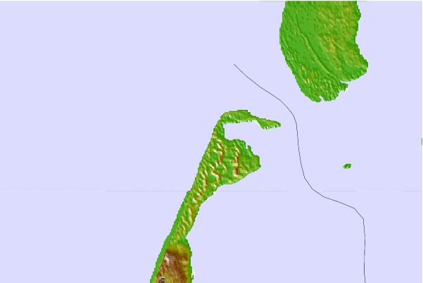
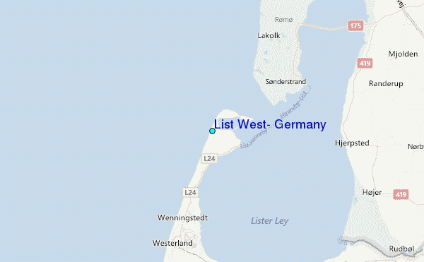
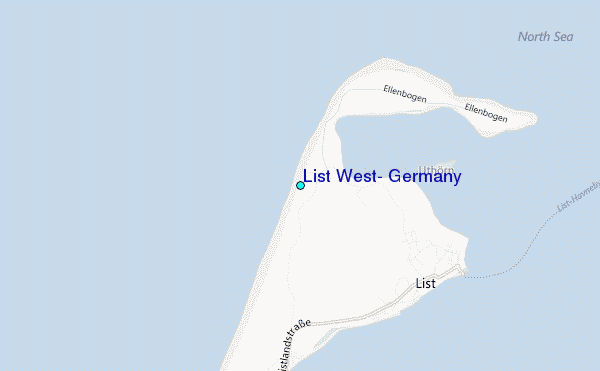
Use this relief map to navigate to tide stations, surf breaks and cities that are in the area of List West, Germany.
Other Nearby Locations' tide tables and tide charts to List West, Germany:
click location name for more details
 Surf breaks close to List West, Germany:
|
||
|---|---|---|
| Closest surf break | Buhne Kampen (Sylt) | 2 mi |
| Second closest surf break | Sturmhaube Kampen (Sylt) | 3 mi |
| Third closest surf break | Nordseeklinik Westerland (Sylt) | 5 mi |
| Fourth closest surf break | Brandenburg Westerland (Sylt) | 9 mi |
| Fifth closest surf break | Oase zur Sonne Westerland (Sylt) | 11 mi |


 Nearest
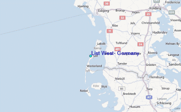