
| Distance / Altitude | Location | Report Date / Time | Live Weather | Wind | Gusts | Temp. | Visibility | Cloud |
|---|---|---|---|---|---|---|---|---|
| 22 km SE / 202 m | Puerto Barrios Airport (Guatemala) | 2026-05-04 06:00 local (2026/05/04 12:00 GMT) | Dry and cloudy | calm (0 km/h at 0) | 26°C | 8.0 | scattered overcast | |
| 75 km S / 1402 m | Yoro Airport (Honduras) | 2026-05-04 06:00 local (2026/05/04 12:00 GMT) | Dry and partly cloudy | wind obs. (7 kph from 50 degs) was rejected (- km/h at -) | 21°C | 10.0 | scattered | |
| 91 km E / 3 m | SHIP7524 (Marine) | 2026-05-04 06:00 local (2026/05/04 12:00 GMT) | - (- km/h at -) | 26°C | - | |||
| 91 km E / 3 m | SHIP7257 (Marine) | 2026-05-04 05:00 local (2026/05/04 11:00 GMT) | - (- km/h at -) | 28°C | - | |||
| 91 km E / 3 m | SHIP3190 (Marine) | 2026-05-04 05:00 local (2026/05/04 11:00 GMT) | - (- km/h at -) | 28°C | - | |||
| 91 km E / 3 m | SHIP1876 (Marine) | 2026-05-04 05:00 local (2026/05/04 11:00 GMT) | - (- km/h at -) | 28°C | - | |||
| 91 km E / 15 m | SHIP9464 (Marine) | 2026-05-04 05:00 local (2026/05/04 11:00 GMT) | - (- km/h at -) | — | - km | |||
| 91 km E / 15 m | SHIP8763 (Marine) | 2026-05-04 06:00 local (2026/05/04 12:00 GMT) | - (- km/h at -) | — | - km | |||
| 91 km E / 3 m | SHIP10883 (Marine) | 2026-05-04 07:00 local (2026/05/04 13:00 GMT) | - (- km/h at -) | 26°C | - | |||
| 91 km E / 3 m | SHIP4055 (Marine) | 2026-05-04 05:00 local (2026/05/04 11:00 GMT) | - (- km/h at -) | 28°C | - |
| Contours: | Roads & Rivers: | Select a
tide station / surf break / city |
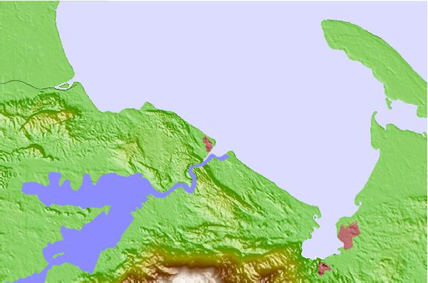
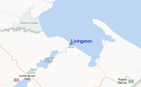
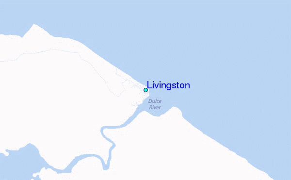
Use this relief map to navigate to tide stations, surf breaks and cities that are in the area of Livingston.
Other Nearby Locations' tide tables and tide charts to Livingston:
click location name for more details
 Surf breaks close to Livingston:
|
||
|---|---|---|
| Closest surf break | East Point Long Cay | 132 mi |
| Second closest surf break | Palma Real | 149 mi |
| Third closest surf break | San Pedro South Reef Pass | 152 mi |
| Fourth closest surf break | San Pedro North Reef Pass | 155 mi |
| Fifth closest surf break | Fishermans Point | 166 mi |


 Nearest
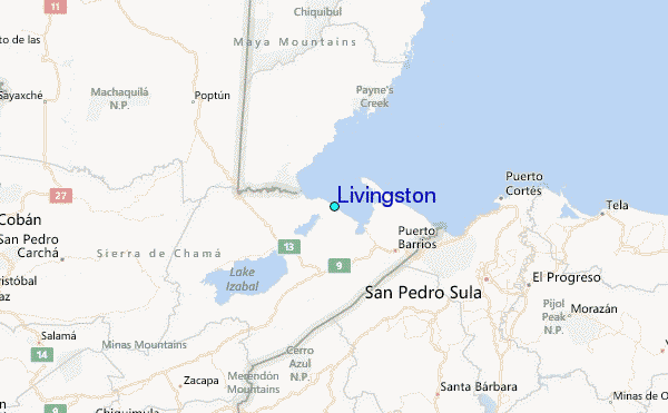